


Nevada faces two separate weather threats this weekend, with strong, gusty winds raising wildfire danger across western and northern areas while heavy rain could trigger flash flooding, mudslides and debris flows in parts of eastern and central Nevada.
The National Weather Service offices in Reno and Elko issued red flag warnings and a flood watch Friday as a strong cold front and moisture from the remnants of Hurricane Rachel move into the region. The threats vary by location, with dry, windy conditions increasing fire danger in some areas and the potential for heavy rainfall creating flooding concerns in others.
Western Nevada and the eastern Sierra: Elevated fire danger
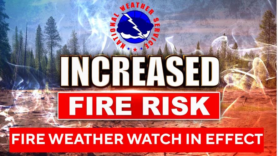
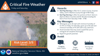
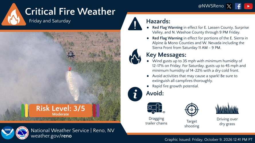
A red flag warning will be in effect from 11 a.m. to 9 p.m. Saturday for Southern Mono County, the Northern and Southern Sierra Front, the West Humboldt Basin and the Lahontan Basin.
The warning covers Carson City, Douglas, Storey, Southern Washoe, Western Lyon, Alpine, Northern Mono, Southern Lyon and Western Mineral counties, along with far Southern Lassen County, Western Humboldt Basin in Pershing County, and the Lahontan Basin, including Churchill and Eastern Mineral counties.
Southwest winds of 15 to 25 mph are expected, with gusts reaching 35 to 45 mph. Minimum relative humidity could fall to between 14% and 22%.
The combination of strong winds and dry conditions could cause fires to grow rapidly before firefighters can contain them.
A separate red flag warning remains in effect until 9 p.m. Friday for Surprise Valley in California, Eastern Lassen County and Northern Washoe County. West winds of 15 to 20 mph, with gusts up to 35 mph, are expected, while minimum humidity could drop to between 12% and 17%.
Northern and northeastern Nevada: More fire concerns
The National Weather Service in Elko has issued red flag warnings for Saturday from 11 a.m. to 11 p.m. in Southeastern Humboldt County and Northern Lander County, as well as Humboldt County, parts of Elko County, Northern Eureka County and parts of Lander County north of Interstate 80.
In Southeastern Humboldt County and Northern Lander County, sustained winds could reach 20 to 25 mph, with gusts of 35 to 40 mph. Humidity could fall to between 20% and 25%.
In Humboldt County, parts of Elko County, Northern Eureka County and parts of Lander County north of Interstate 80, Saturday's forecast also calls for sustained winds of 20 to 25 mph and gusts of 35 to 40 mph. Humidity could fall to between 20% and 25%.
The weather service also warned of elevated fire danger Friday in Humboldt County, parts of Elko County, Northern Eureka County and parts of Lander County north of Interstate 80. Winds could gust to 30 mph, with humidity as low as 10% to 15%.
The combination of low humidity and gusty winds could cause new fires to spread quickly. High winds could also push existing wildfires farther, particularly in areas with active fires.
Eastern and south-central Nevada: Flooding possible
While fire danger increases in other parts of the state, heavy rain could bring a separate threat to eastern and south-central Nevada.
The National Weather Service in Elko issued a flood watch from Saturday evening through late Sunday night for White Pine County, the Ruby Mountains and East Humboldt Range in Elko County, South Central Elko County, Southeastern Elko County, and Northwestern and Northeastern Nye counties.
The watch includes communities such as Ely, McGill, Ruby Lake, West Wendover, Tonopah, Manhattan and Round Mountain.
Moisture from the remnants of Hurricane Rachel is expected to move north into parts of east-central and eastern Nevada late Saturday night and continue into Monday. Combined with an upper-level low-pressure system, it is expected to bring widespread showers and isolated thunderstorms.
Moderate to locally heavy rain could produce excessive runoff, flooding rivers, creeks, streams and other low-lying or flood-prone areas. Flash flooding and rock, mud and debris flows are also possible in steep terrain and poorly drained urban areas.
Recently burned land is a particular concern. The weather service identified the former Ward, Kearny, Oxley, Secret Pass, Star Valley, Jones and Egberts fire areas as locations where flash flooding could occur. Other burn scars within the watch area could also be affected.
Residents in the watch area should monitor updated forecasts and be prepared to act if flash flood warnings are issued.
Area lakes: Hazardous boating conditions
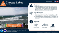
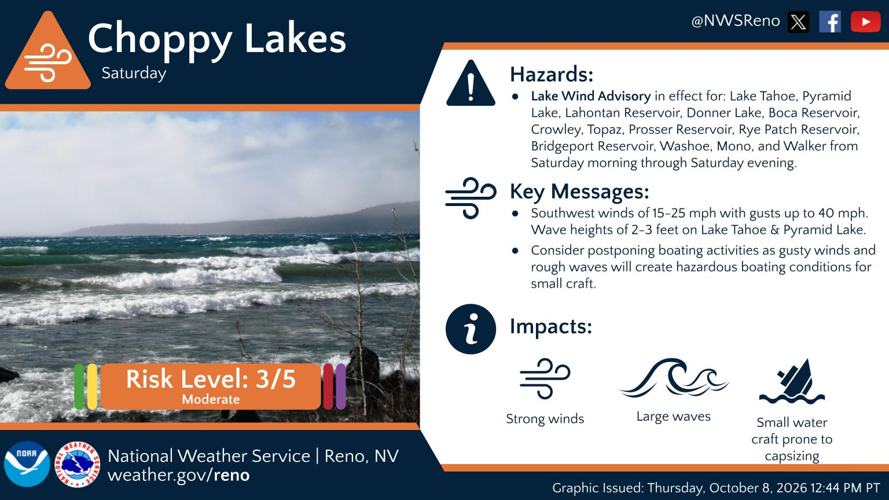
Strong winds will also create hazardous conditions on area lakes Saturday.
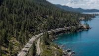
A lake wind advisory will be in effect from 5 a.m. to 11 p.m. for Lake Tahoe, Donner Lake, Prosser and Boca reservoirs, Washoe Lake, Pyramid Lake, Lahontan Reservoir and Rye Patch Reservoir.
A separate advisory will cover Walker Lake, Topaz Lake, Bridgeport Reservoir, Mono Lake and Crowley Lake from 11 a.m. to 11 p.m. Saturday.
Southwest winds of 15 to 25 mph, with gusts up to 40 mph, are expected. Waves could reach 2 to 3 feet on Lake Tahoe and Pyramid Lake, creating hazardous conditions for small boats.
Boaters should check lake conditions before leaving shore and consider postponing trips until winds ease.
What residents should do
Across the areas under fire weather warnings, the weather service advises avoiding outdoor activities that could create sparks near dry vegetation, including yard work, target shooting, and campfires. Residents should follow local fire restrictions and completely extinguish campfires.
In areas under the flood watch, residents should stay informed about changing conditions, particularly near recent burn scars, steep terrain, and locations prone to flooding.
The weather service recommends checking weather.gov/renofor forecast updates, weather.gov/safety/flood for flood safety information, and livingwithfire.info for wildfire preparedness guidance.