
KTVN Meteorologist Jeff Martinez says to get ready for a much colder day, after highs in the 70s this week, we drop off into the 40s for Wednesday, with a brisk northerly wind 15-30mph that will make it feel even colder.
There's not much precipitation with this system, and we will see just a few light scattered showers in the mountains, with no major travel delays expected over our passes today. Our valleys will see a slight chance for scattered rain or snow shower with no accumulations.
It's going to be very cold Wednesday night, with clear skies our lows drop off into the teens and 20s by Thursday and Friday mornings.
Your weekend is looking pretty good with a high around 60 on Saturday, with a few clouds on Sunday and a slight chance for a shower.
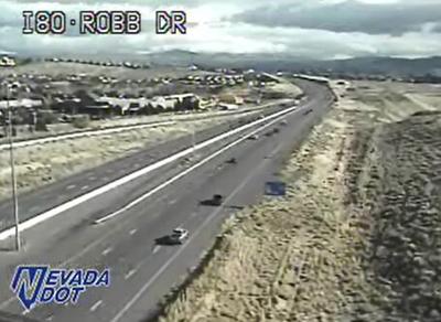
Chain controls may be in effect over some area roadways over the course of the day. Call 511 for the latest road conditions or go to http://nvroads.com/
You can stay up to date on weather in our area with our KTVN StormWatch weather app. Download it for free for your iPhone, iPad, or Android smartphone. Just search KTVN in the iTunes or Google Play Store.
