After a string of warm and mild weather, a cold front will move through Reno Friday morning.
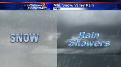
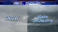
Along with the front, rain, wind, and snow is in the forecast. In the valley, we’ll see wind and rain on Friday. But in the Sierra, snow is likely above 5500 feet and west of 395. Highs on Friday will be in the upper 50’s for valley locations and thirties for higher elevations.
This is a pretty fast moving system, so roads should be fine by mid-morning Saturday. The heaviest snow will fall along the pass between 8 a.m. and 2 p.m. Friday. A Winter Weather Advisory goes through Friday night for both the Sierra and Tahoe.
We have an area of low pressure offshore from southern Oregon and northern California, which is moving east. There is a decent amount of moisture to work with. Due to a high sun angle and warm ground, it will take a while for the snow to accumulate, but eventually, it will.
When we talk about dynamics, we mean some sort of trigger for the storm to get going, like a low or a front. Here’s a science term for the day: Positive Vorticity Advection, or PVA for short. PVA is a common way to get air to rise. The best place for PVA is in advance of a low, or on the right hand side. Vorticity is spin in the atmosphere, and advection is something moving into your area.
So put it all together and you get more spin moving into our region, which is a great way to get air to rise. Temperatures will drop a good twenty degrees over the next 24 hours.
It will also be windy Thursday night and Friday afternoon. Wind gusts could top 50 miles per hour in Reno, 70 in wind-prone areas, and 100 at the highest peaks of the Sierra. While we’ll mainly just see rain and wind in Reno, some thunder/lightning is possible, too.
Click on the pictures to see them in their entirety. The last image is from the Storm Prediction Center.