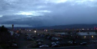
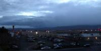
KTVN Chief Meteorologist Mike Alger reports the fiercest part of this storm system is past us now. Winds on Friday will be worlds apart from the damaging storm on Thursday. Winds should decrease throughout tonight while the chance of valley rain and mountain snow increases. Temperatures will drop to the mid-40s with a chance of mainly morning rain and snow showers (snow level will fall to the 5,000-5,500' level by Friday morning.) Snow will be more persistent in the mountains, with a Winter Storm Warning remaining in effect until 1 pm Friday. As we go into the weekend, the weather will be cool, but mostly dry with light winds (won't that be nice?)
The Channel 2 News Storm Watch Team will you keep you up to date on the storm on the air, online and on Facebook and Twitter. Channel 2 has several crews dedicated to covering this storm and keeping you safe.
You can stay up to date on weather in our area with our KTVN Storm Watch weather app.
The app gives you forecast information, like radar, storm tracking and more for any location in the country, all in the palm of your hand.
You can download it for free for your iPhone, iPad, or Android smartphone. Just search KTVN in the iTunes or Google Play Store.
Help us cover the storm by sending pictures and tips to producers@ktvn.com or by posting them to our Facebook page.