


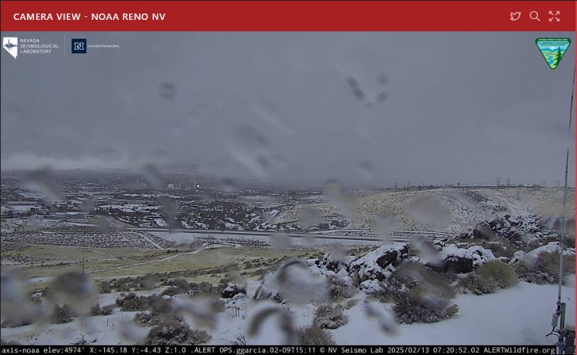
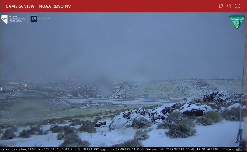
Sloppy is a great way to describe Thursday’s weather in Reno.
Our storm is here bringing snow overnight, and switching to rain during the day. Snow is already starting to switch over to rain in Reno as of 8am Thursday, with more rain in the forecast through this evening. There will be a few breaks, but some of the rain could be heavy at times. Snow will be heavy and continuous in the Sierra Thursday, with more scattered snow showers Thursday night through Friday afternoon.
The storm fizzles out in the mountains by 3pm Friday and by sunrise in the valley.

Friday morning will be slick in the Truckee Meadows, primarily because of frozen puddles and light snowfall. The Winter Storm Warnings for the Sierra, including northeast California, the Tahoe Basin, and Mono County all goes through 10pm Friday night. Most of the snow will stop falling by 3pm Friday, but leftover snow on the ground will make travel difficult through Saturday morning.
Several mountain highways are requiring chains or snow tires. Call 511 to get the latest conditions.
*WINTER WEATHER DRIVING*
— Washoe Sheriff (@WashoeSheriff) February 13, 2025
Happy Thursday Washoe! As you make your morning commute this morning please use caution and safety when driving on the roads.
We got some snow last light through the valley and some could experience slick road conditions. Please use the following tips… pic.twitter.com/OIcX9vkckE
Good morning it's a bit snowy in the Sierra❄️❄️
— Caltrans District 3 (@CaltransDist3) February 13, 2025
Carry chains...or better yet, stay home!
Chain controls: I-80 EB Cisco-state line
I-80 WB state line-Eagle Lakes
US50 Twin Bridges-Meyers
SR-89 closed around Emerald Bay due to heavy snow@CHPSouthLake @CHP_Truckee @ElevatetoEDC pic.twitter.com/3OVN2MCB3Z
ATTN: Due to heavy snow on the highway, U.S. 395 is now CLOSED between State Route 203 to Mammoth Lakes and June Lake Junction. @Caltrans9 maintenance crews are working to restore access and we will share updates here as they come in from the field. pic.twitter.com/lAu9N8GqGs
— Caltrans District 9 (@Caltrans9) February 13, 2025
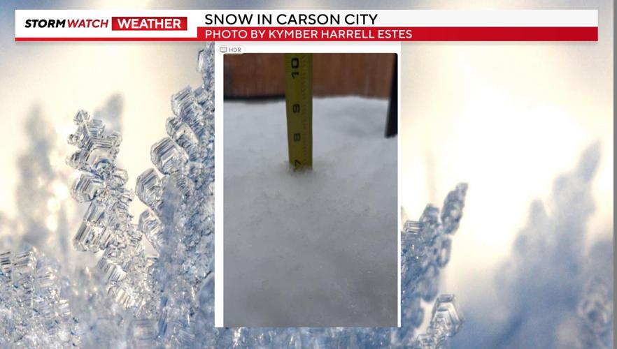
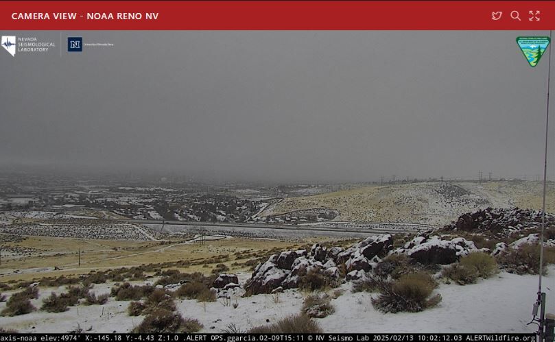
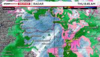
Snowfall rates Thursday could top two inches per hour in the Sierra. At one point, radar was even showing over an inch of snow per hour in Reno. We’re hearing reports of several inches of snow falling in Carson City and a few inches in Cold Springs. Over a half inch of rain could fall by Thursday night too.


Two to four feet of snow will fall in the high Sierra by Friday afternoon, and 10-18 inches of snow could fall at lake level. Tahoe and Truckee could see a mix of rain and snow, but more snow than anything else. North Tahoe will get more snow than South Tahoe, since the warm front is coming up from the south. As the cold front moves through late Thursday, Tahoe has a better chance of seeing consistent snow. Winds will also be strong, lowering visibility.
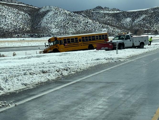
As always, check roads before leaving home. Be careful while driving.

The Highway Patrol Division of the Nevada Department of Public Safety and the Nevada Department of Transportation are reminding drivers to drive more safely as wintery weather approaches in northern Nevada.
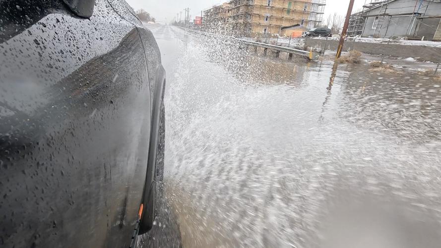
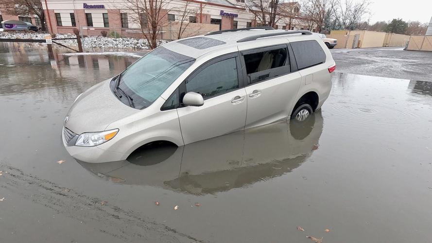
One minivan got stuck in water on South Virginia Street near McCabe Drive.
NDOT says a hit-&-run driver hit one of their snow plows on Highway 395 in the North Valleys Thursday morning. Luckily, the driver wasn't hurt, but it serves as a reminder to be careful.

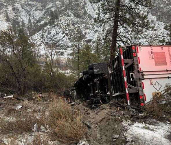
CHP-Truckee posted a photo of an overturned semi-truck on I-80 west near Floriston.