


The remnants of Hurricane Hilary passed by Reno early Monday morning as a tropical depression giving many areas some wetting rains with about a .25” in our valleys and more than an inch of rain in the mountain areas.
The bulk of the storm hit southern California and the western slopes of the Sierra, with heavier showers there.
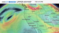
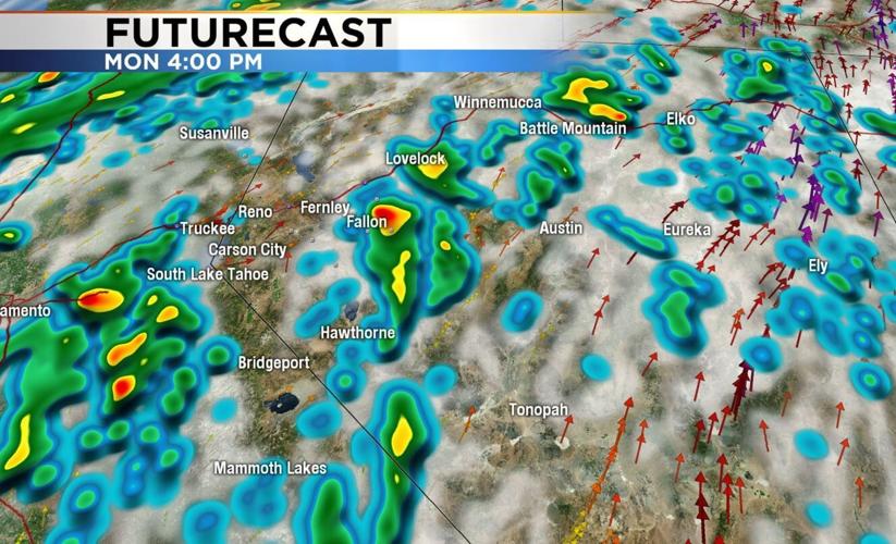
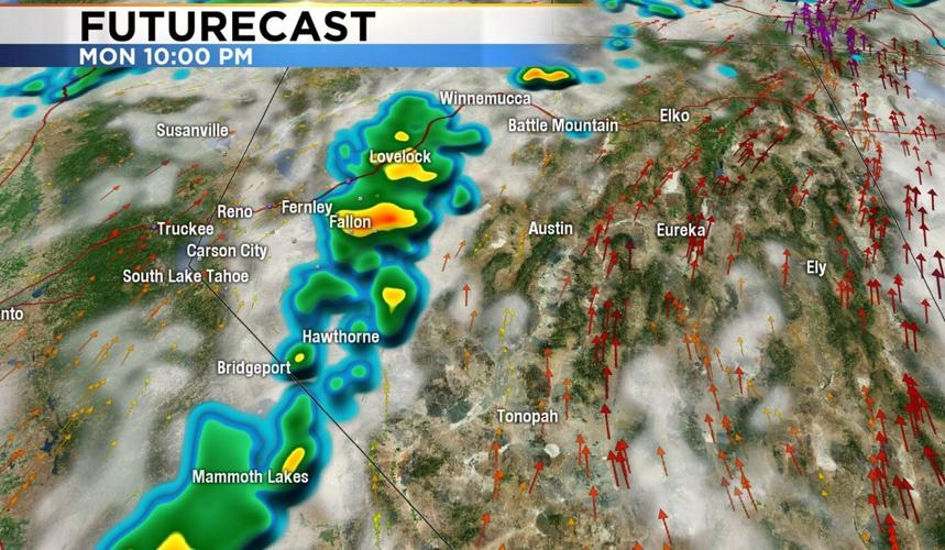
Scattered showers and thunderstorms will be with us through Monday evening and again by Tuesday morning. Look out for gusty winds 20 to 30 mph through Tuesday afternoon.
The weather clears out by Wednesday with sunny skies expected this weekend and afternoon highs around 90 degrees by Sunday.
Rainfall may also impact the Caldor East burn scar near South Lake Tahoe. Recreationists are advised to be extra cautious when visiting the burn area. #CaldorFire https://t.co/MMsYJ5cGgE
— Lake Tahoe USFS (@LakeTahoeUSFS) August 21, 2023
Here's a sprinkling 🌧 of preliminary rain reports over the past 24 hours. Widespread rain is pushing northward this morning with many areas clearing out around sunrise. Plan on thunderstorms and showers developing this afternoon. ⛈
— NWS Reno (@NWSReno) August 21, 2023
Image: CNRFC https://t.co/QPtR5FvbCL pic.twitter.com/c5CnXD3jLf