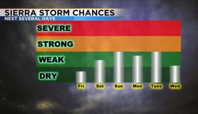
More stormy weather is in the near future as a low pressure system moves in here. Unlike this past Tuesday, this go around temperatures will stay mild. Along with mild temperature comes the chance for thunderstorms. The best widespread coverage will be on Sunday. By then, the low will be directly overhead and instability values will be sufficient. While the storms are not expected to be all that strong, they could produce some pockets of heavy rain, small hail, and gusty winds.

Cut off lows can be hard to predict. What happens is they get cut off from the jet stream and therefore lose any form of steering and have a hard time moving. As a result cut off lows can spin in the same location for days. Models can also have a hard time handling them. The cut off low that will move in here this weekend is fairly weak and should be out of here by midweek. As the low spins it brings up moisture along with it. Mono County in California could start seeing some thunderstorms as early as Friday afternoon, but in Reno our best chance is Sunday. Even then the storms will be scattered and not all day. While the storms will be weak, you still don’t want to get caught out in a lightning storm, so come prepared if you have any outdoor plans.

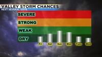

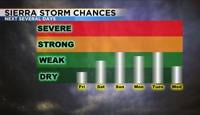
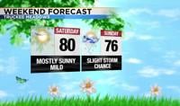
Temperatures this weekend will be in the upper 70’s Saturday and mid 70’s Sunday. Overnight lows will stay above freezing. For Tahoe, Temperatures will be in the lower 60’s this weekend and 50’s next week. After Tuesday, storm chances will stay south of Highway 50. Have a great day!
