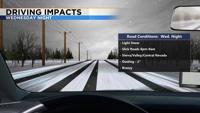
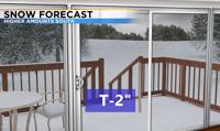
Spring is known for roller coaster rides, but this year we’ve had many dry days and a few weak systems sprinkled in here and there. Another weak system is set to move through the region late Wednesday into Thursday morning. Snow totals will be light, but roads will still be slick. Snow totals will range from a couple inches in the Sierra south of Tahoe, to less than an inch in Reno. Carson City will see a little more snow than Reno. The snow will fall alongside the cold front and move from north to south. The snow band will be very narrow and move quickly. Without a lot of moisture, this means snow totals will be less than superior. With that being said, inside sliders are very hard to predict because the models have a hard time picking them up. It will start to snow in Reno around 10pm, and the band will be out of the Truckee Meadows just after sunrise.

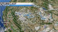
Usually lows come in from the west, but this time around the main low is located to our east. Smaller waves are embedded within the low, and the one that moves through Wednesday night will ride along the jet stream and slip into northwest Nevada from Oregon and Idaho. The track of the low gives the valley and basin a good chance of seeing light snow. The mountains will see a small amount as well, but nothing exciting. The band of snow will be out of here by Thursday morning. Skies will clear pretty quickly as high pressure moves in behind the low. Highs on Thursday will only be in the mid 40’s, with lows falling well below freezing.

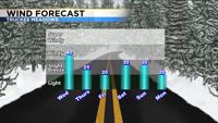
Wind speeds will be strong Wednesday afternoon, with gusts in the 30’s. The change in temperature and pressure as the front moves through accelerates wind speeds. It won’t be windy all day Wednesday, but wind speeds will get stronger as the day goes on. This won’t be a record setting wind event, but speeds will be strong enough to move trash cans down the street and toss decorations around.