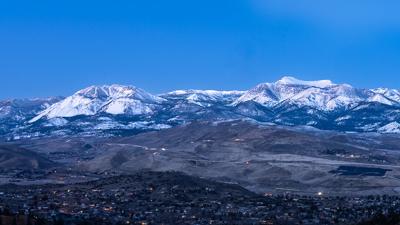
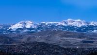
The mountains are looking beautiful with all of the freshly fallen snow from last week. Sunday morning I made an early morning trek to up on Geiger Grade to capture the first light of day. This is a panorama of six pictures I took just before sunrise.


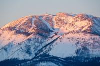
After being treated to the sunrise on Mount Rose, I took a drive up north on Hwy 395 and just past the Nevada state line. The clouds were a little thicker up there... but the sun peaking through afforded me this shot. Believe me it was better in person... my photos don't really do the scene justice.

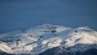
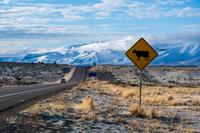
No bull! It was a beautiful morning for a drive. I guess insomnia does have some redeeming qualities after all.