


Red Flag Warnings issued for western Nevada and northeastern California as thunderstorms and winds increase fire danger through Friday
A Red Flag Warning has been issued for parts of western Nevada and northeastern California as thunderstorms, strong winds, and lightning threaten to create dangerous fire weather conditions Thursday, with additional fire weather concerns expected to continue into Friday.
According to the National Weather Service Reno, thunderstorms are expected to develop Thursday afternoon, bringing the potential for gusty outflow winds up to 50 mph, lightning and small hail. Stronger storms could produce hail up to 1 inch in diameter.


The National Weather Service has issued a Red Flag Warning from 1 p.m. to 10 p.m. Thursday for the Sierra Front, including Carson City, Douglas, Storey, southern Washoe, western Lyon and far southern Lassen counties, as well as Alpine County, northern Mono County, southern Lyon County and western Mineral County.
Forecasters said a mix of wet and dry thunderstorms is expected. While there is some uncertainty regarding how widespread storms will be, isolated dry lightning remains possible.
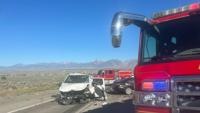
Officials warned that lightning could spark new fires, while strong and erratic thunderstorm outflow winds may cause any new fire starts to grow rapidly in size and intensity before first responders are able to contain them.
Forecasters also said increasing thunderstorm chances and fast storm motions could increase the threat of new lightning-caused fire starts heading into the weekend.
A Red Flag Warning has also been issued for northeastern California and far northwestern Nevada for Friday, as fire weather conditions persist into the end of the week.
Friday fire weather threats expand across Nevada
The National Weather Service in Elko has upgraded previously issued Fire Weather Watches to Red Flag Warnings for Friday across portions of eastern and central Nevada, citing critical fire weather conditions that could support rapid wildfire growth.
A Red Flag Warning is in effect from 11 a.m. to 11 p.m. Friday for portions of White Pine County, northern Nye County, northeast Nye County and central Nevada. Forecasters expect sustained south winds around 20 mph with gusts up to 35 mph and relative humidity levels as low as 8 percent.
The National Weather Service said the highest fire weather threat is expected across portions of White Pine County and northeast Nye County.
Another Red Flag Warning is in effect from 2 p.m. to 11 p.m. Friday for portions of Humboldt, Lander and Elko counties, where isolated to scattered dry thunderstorms are expected. Those storms could produce erratic wind gusts up to 50 mph with little to no rainfall.
Officials said any fires that develop under these conditions could spread rapidly, making outdoor burning strongly discouraged.
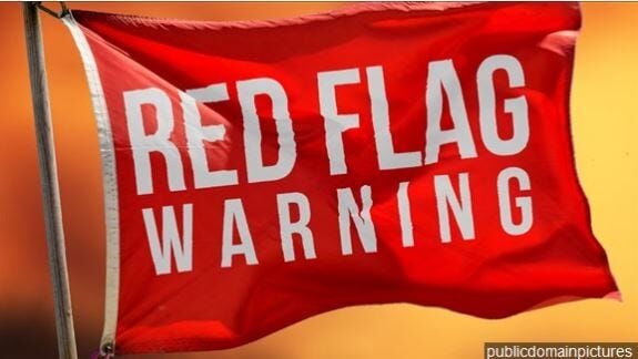
A Red Flag Warning means critical fire weather conditions are either occurring or expected shortly. The combination of strong winds, low humidity, dry fuels, lightning and warm temperatures can contribute to extreme fire behavior and rapid fire spread.
Residents are encouraged to have multiple ways to receive weather warnings, avoid activities that could create sparks near dry vegetation, and follow local fire restrictions. For the latest forecasts, watches, and warnings as conditions change, stay with 2 News Nevada.
(National Weather Service Reno and National Weather Service Elko contributed to this story.)