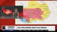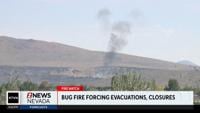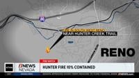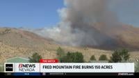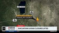
The weather will not be on our side on Monday, with gusty winds in the forecast. The Bug Fire and Fred Mountain Fire are driven by a westerly wind Sunday night. While some evacuations have been lifted in the Cold Springs area others have been added on the north and east side of the fire. With a west wind, that means areas to the east of both fires are in danger.

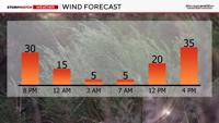
Wind gusts will be in the 20’s and 30’s through 9 pm, but will finally ease overnight. Conditions will be better tonight, but not ideal. Temperatures will be slow to cool and relative humidity values will still be pretty low. Granted better than Sunday afternoon.
Wind speeds will be light late Sunday night through mid morning Monday, before gusting in the 20’s and 30’s again Monday afternoon and evening. Wind gusts will be slightly higher than Sunday. The air will still be dry north of Highway 50.

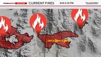
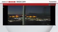
The heat played a role as well. There was enough instability Sunday afternoon to grow the smoke plume vertically like a thunderstorm. Instability is what allows the air to rise. Parcels of air can rise when they are warmer than the air above it. In fact you could see on the FireAlert webcams, the Bug Fire growing vertically this afternoon then spreading eastward as winds picked up as well. The smoke plume was not nearly as visible Sunday morning, but is now very apparent. This could happen on Monday too. It will be a touch cooler, but still hot. Highs will be in the upper 90’s.

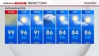
Rain is in the forecast this week as moisture starts to move in. Showers and storms will stay south of Highway 50 on Monday, but expand northward on Tuesday. Reno will be just west of the storm line on Tuesday, but it’s a close call. Fernley and Sparks has a better chance than downtown Reno on Tuesday. Storm chances expand westward to include all of Reno on Wednesday. Some of the rain could be heavy at times.