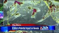


The National Oceanic and Atmospheric Administration's "Climate Prediction Center" issued an El Niño watch Thursday, after temperatures and winds in the equatorial Pacific pointed to signs of warming.
The National Weather Service says that watch is a good sign of a different weather pattern, but when it comes down to it, it's too early to tell.
"Right now we are under an El Niño watch," said Wendell Hohmann, Senior Meteorologist with the National Weather Service in Reno. "So that means conditions are becoming more favorable for El Niño development within the next six months"
Right now, there is a 50-50 chance that an El Niño weather pattern may develop. Officials will get a better idea as we get closer to the end of summer.
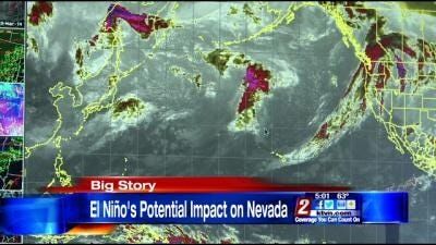
El Niño occurs when the Pacific Ocean at the equator warms up, along with shifting winds. That leads to a slightly different weather pattern for the entire world.
If a moderate El Niño forms, most of the precipitation would most likely fall in the Southern California area, working its way across the Southern United States, according to Hohmann.
As far as Reno goes, Hohmann says there needs to be a strong El Niño pattern to change our weather in a significant way come fall and winter.
"If we have a strong el Niño, that sometimes has a better correlation with heavier precipitation for Northern California, the Sierra and western Nevada," said Hohmann.
However, if an El Niño pattern does not form, it doesn't mean Northern Nevada will experience another year of dry conditions. Hohmann says there are simply too many atmospheric conditions that go into a particular weather pattern for a given week, let alone an entire season.
By Landon Miller