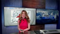

Rain, some light hail, and even a few cold-air funnel clouds appeared in the valley Sunday.
Cold air funnels look scary, but most of the time they are harmless. On occasion they can touch down and become a tornado, producing winds around 85 miles per hour which would be an EF-0. They are called cold air funnels because they form when a colder push of air moves in over top a warm surface, making the environment unstable. Instability is a term which classifies how likely the air is to rise. In order for the air to rise you have to have warmer air below a cooler layer aloft. If a parcel of air is warmer than its environment then it can rise and eventually produce a cloud. Just so happens we had warm air at the surface on Sunday with a cold upper level low moving in from the west.
Also, long track tornadoes that you typically see in the plains lower from a much more ominous looking cloud, called a wall cloud. Cold air funnels on the other hand typically have a different kind of parent cloud. The cold air funnels we saw in Fernley Sunday afternoon lowered from almost stratus looking clouds. In the case of a cold air funnel touching down and becoming a tornado you would want to go indoors and get away from windows. Cold air funnels are also very hard to detect on radar. Large tornadoes typically look like kidney beans on radar and have a hook on them.
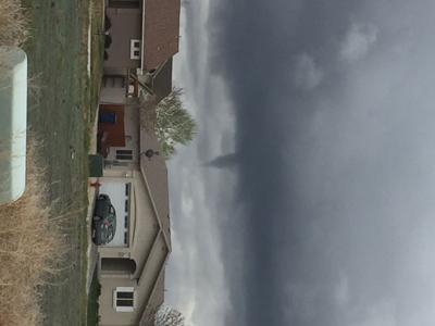
Along with cold air funnels we also got a good amount of rain throughout our viewing area. Here’s a look at some of the rainfall we received this past weekend as of Sunday night. Thanks to Valerie Schevering for sending in the picture of the cold air funnel in Fernley. The supercell picture is from NOAA.