





















FINAL UPDATE - JULY 29:
The Elephant Fire remains contained.
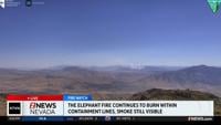
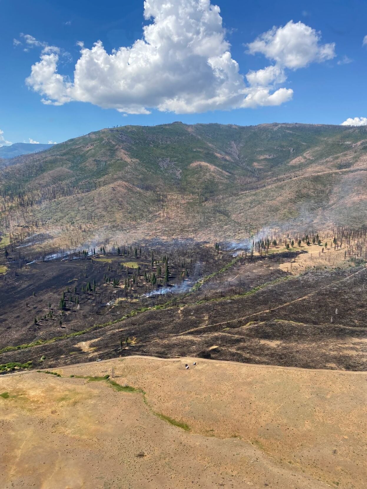
Fire officials say approximately 2,200 acres remain unburned within the interior of the fire and will continue burning over the coming weeks. Fire resources remain assigned to patrol and monitor fire activity until the fire is determined to be controlled and out.
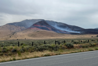
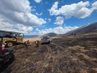
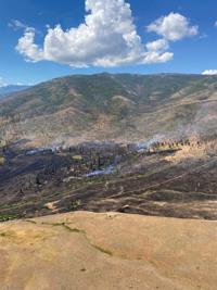
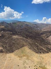
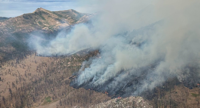
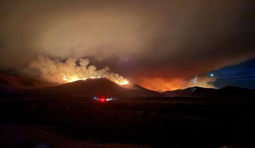
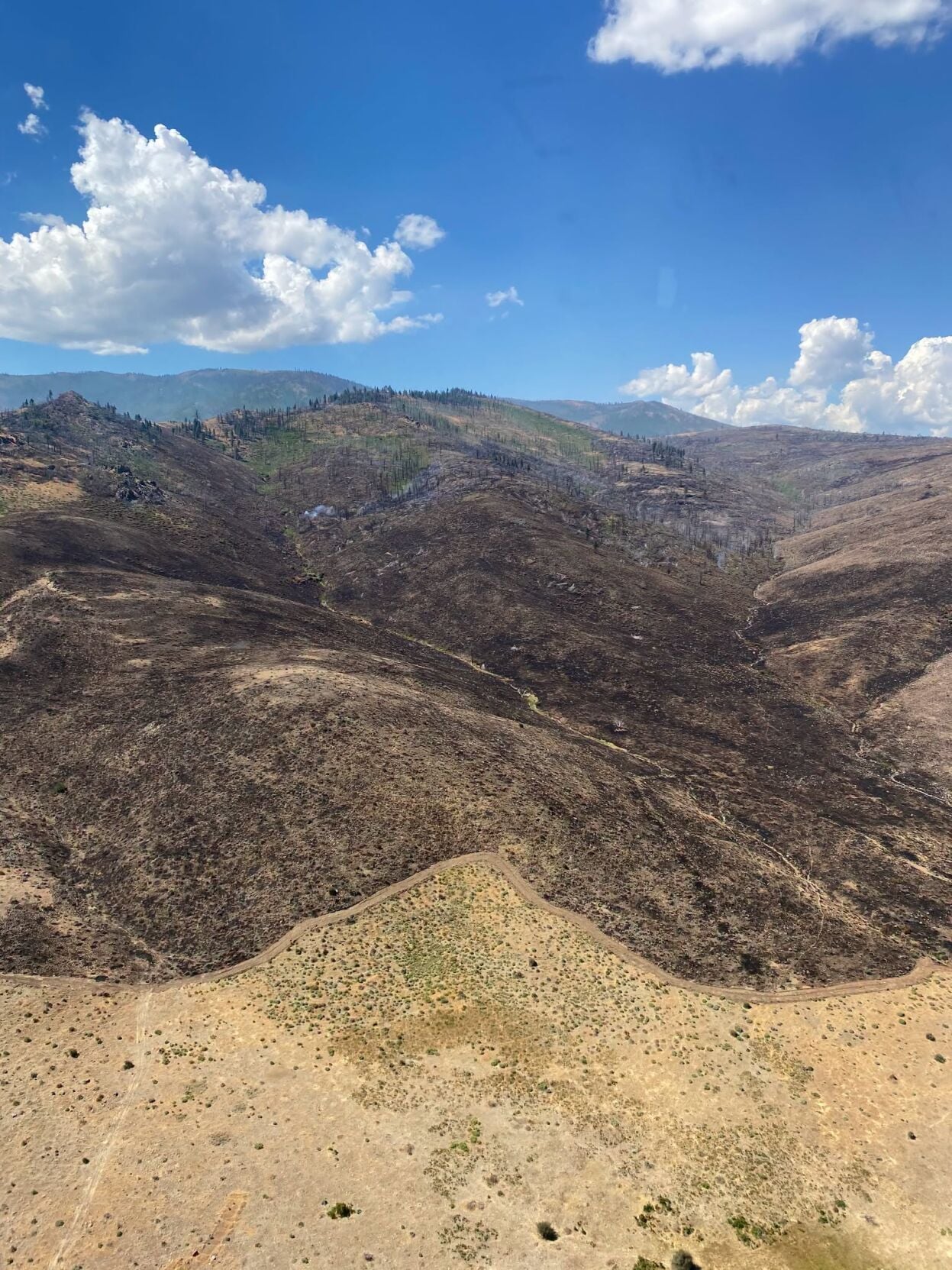
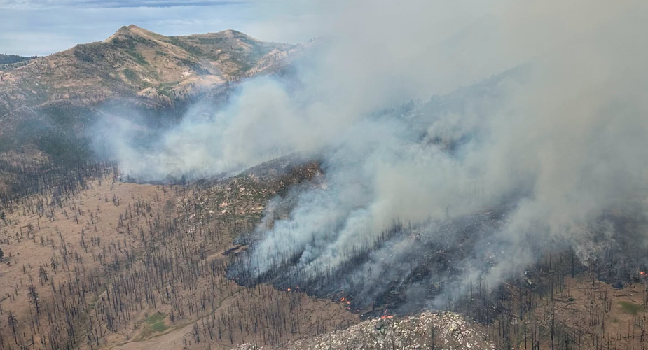
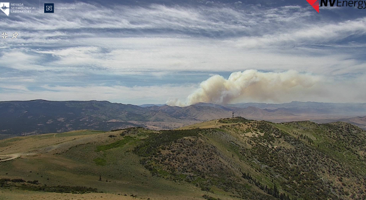
As temperatures rise, fire activity within the containment lines is expected to increase. The fire is burning through thick snow brush, heavy dead and down timber, and standing snag patches within the 2020 Loyalton Fire scar. It will continue to smolder, creep and actively burn as it consumes vegetation in the remaining unburned green island. Moderate smoke is expected to remain visible to surrounding communities for the next several weeks.
Firefighters are unable to safely access the active burning area because of the heavy dead and down fuels within the burn scar, combined with steep and difficult-to-access terrain.
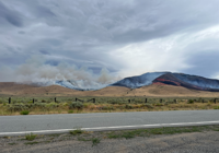
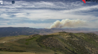
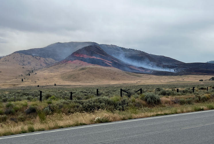
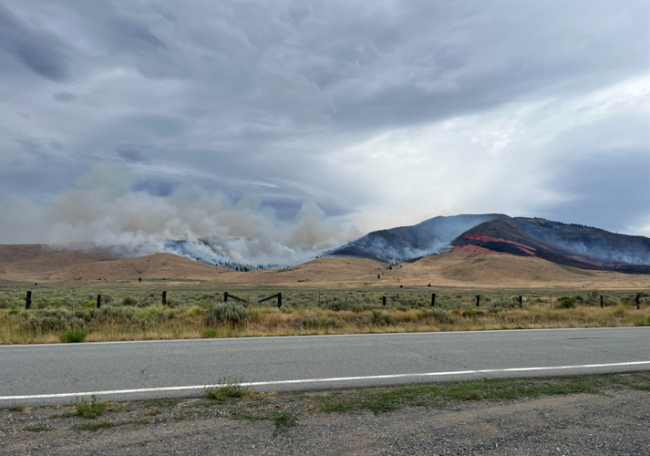
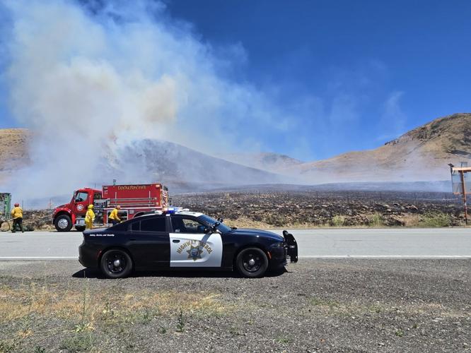
The Elephant Fire ignited near Highway 49 northeast of Loyalton near the Sierra and Plumas county line. It burned primarily in grass with some snags, brush and timber and moved through the 2020 Loyalton Fire scar before reaching 100% containment on July 26.
UPDATE - JULY 28:
The Elephant Fire near Loyalton is now 100 percent contained. It has burned an estimated 13,930 acres.
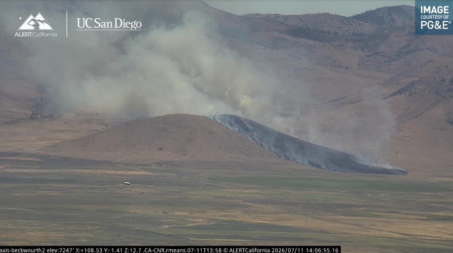
The fire was first reported just before 1:30 p.m. on July 11th in the Tahoe National Forest.
The fire will continue burning in the coming weeks, and maybe months, the U.S. Forest Service says.
While it is fully contained, there are still around 2,200 acres that are unburned within the perimeter.
As that acreage burns, more smoke and flames will be possible.
Fire resources remain committed to the fire and will monitor it continuously.
July 21 UPDATE:
Containment on the nearly 14,000-acre Elephant Fire near Loyalton is nearing 100%.
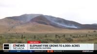
Currently, the wildfire is 98% contained two miles northeast of Loyalton in Sierra County. It's burning primarily in grass, brush and timber.
The cause of the fire remains unknown.
The Elephant Fire was first reported just before 1:30 p.m. on July 11th in the Tahoe National Forest.
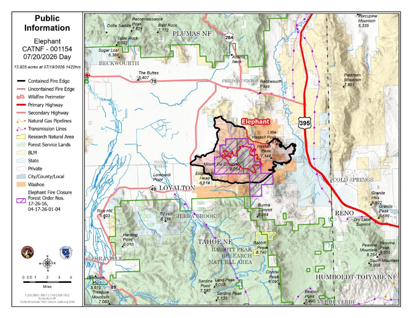
JULY 19, 2026 8:00 P.M. UPDATE
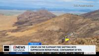
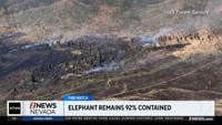
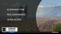
The Elephant Fire is now 92 percent contained and has burned an estimated 13,926 acres, according to an update from Cal Fire.
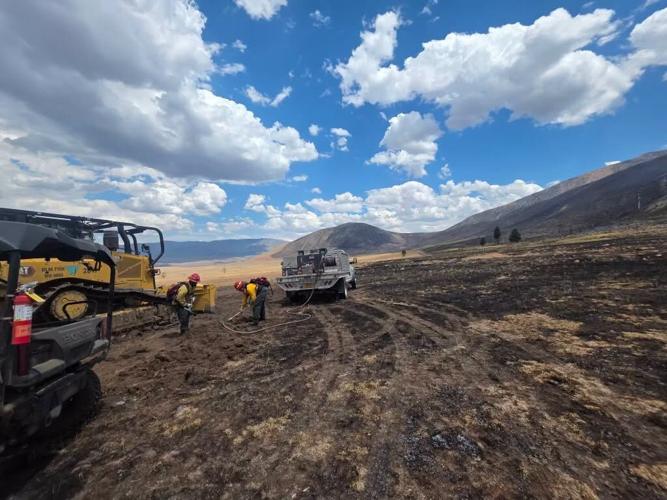
In an update from the U.S. Forest Service, they say heavy equipment, such as excavators and graders, is being moved on site to repair containment lines and assist in other aspects of suppression repair.
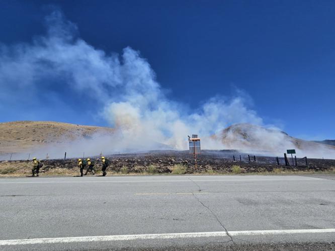
Crews and engines continue to secure and mop up the uncontained portions of the fire.
JULY 18, 2026, 7:11 P.M. UPDATE
The Elephant Fire is now 88 percent contained and has burned an estimated 13,915 acres.
According to the U.S. Forest Service, a large portion of the fire is moving into suppression repair work.
This work is based on a planned and developed by local agency specialists with the focus of mitigating long lasting impacts from the incident. Large equipment will begin moving into the area to conduct this work.
Crews remain on tactical patrol and continue to mop up on the uncontained portions of the fire. Smoke continues to be visible from the interior of the fire.
JULY 16, 2026, 6:10 P.M.
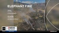
The Elephant Fire is now 77 percent contained and has burned an estimated 13,476 acres.
JULY 15, 2026, 9:30 P.M.
The containment percentage on the Elephant Fire burning near Loyalton has decreased, but that does not mean progress is not being made.
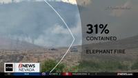
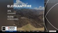
The fire is now 31 percent contained, down from 42 percent, according to a post on Facebook from the U.S. Forest Service - Tahoe National Forest.
The decrease is due to updated mapping, which changed the perimeter shape of the fire.
Operations battling the fire on Tuesday were successful, according to the Facebook post, allowing firefighters to shift their focus to securing lines and mopping up.
JULY 15, 2026, 10 A.M.
The Elephant Fire burning in Sierra and Plumas Counties has grown in size, but so has containment on the blaze.
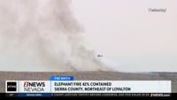
The fire is now 42 percent contained after having burned 16,043 acres, according to new information from Cal Fire.
Meanwhile, all evacuations have been lifted, and more than 500 personnel are still on scene fighting the fire east of Loyalton.
The wildfire, which started July 11 in the Tahoe National Forest, is estimated to be fully contained on July 22nd.
The wildfire, which started July 11 in the Tahoe National Forest, remains 5% contained at 12,303 acres. It's estimated to be fully contained on July 22nd.
The Forest Service says smoke could impact nearby communities, including Hallelujah Junction, Bordertown, Cold Springs and the greater Reno area.
North Lake Tahoe Fire Protection District says a strike team has been mobilized out of the Lake Tahoe Basin to the Elephant Fire. The team includes engines North Tahoe Fire Protection District, Storey County Fire Protection District, Fallen Leaf Fire Department and South Lake Tahoe Fire Rescue.
The cause remains under investigation.
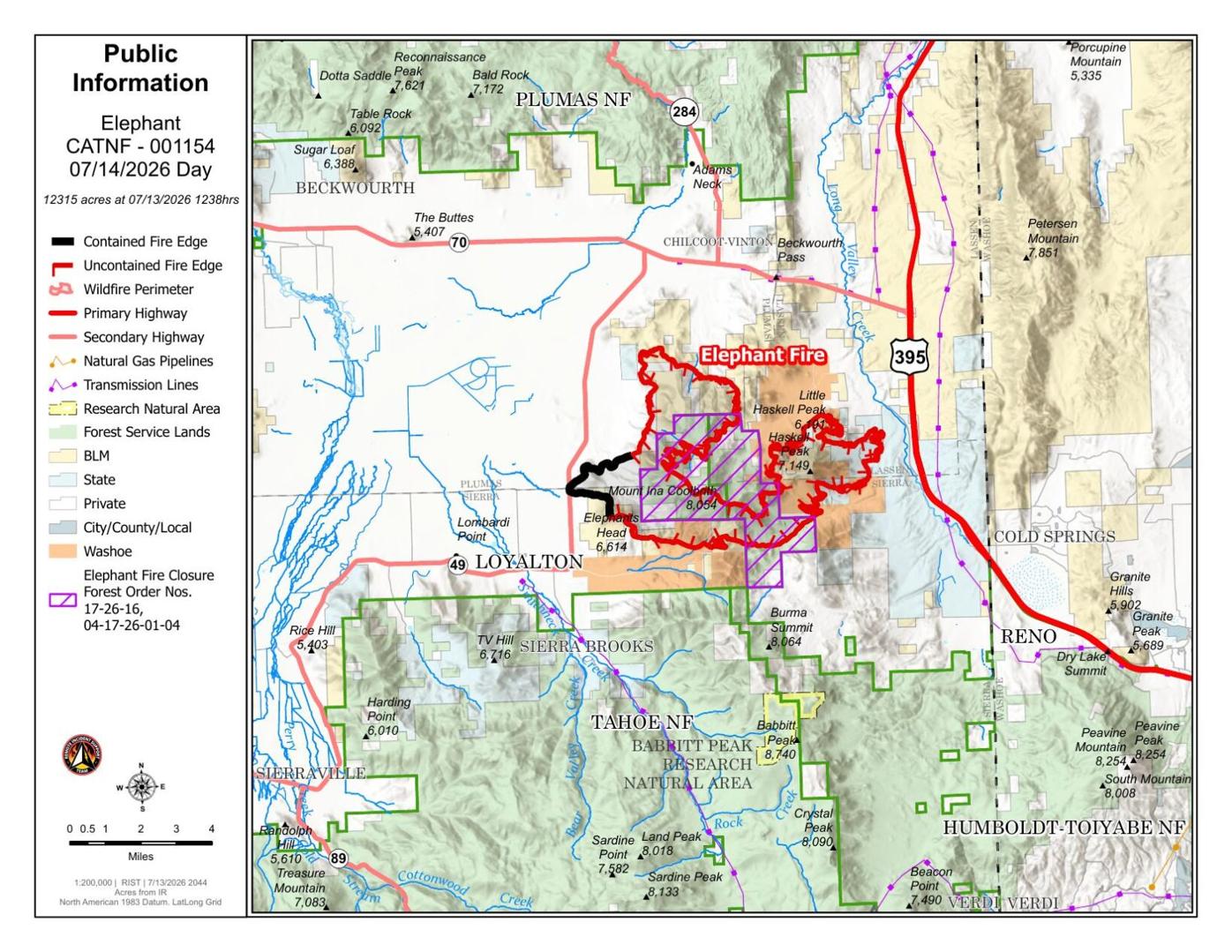
JULY 13, 2026
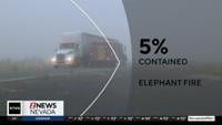
The Elephant Fire east of Loyalton is still 5% contained at 12,303 acres.
The cause remains under investigation. It started just before 1:30 p.m. Saturday north of Loyalton and Highway 49 in the Tahoe National Forest.
More than 430 personnel are working the fire.
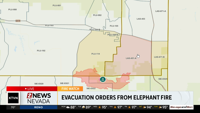
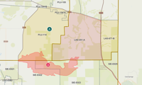
People in LAS-451-A are ordered to evacuate.
Evacuation warnings remain in effect for:
LAS-671-B
PLU-104-A
PLU-144
See the live evacuation map here.

July 12 3:00 p.m. UPDATE:
Truckee Meadows Fire Protection is reporting there was no significant growth overnight on the Elephant Fire. It has burned an estimated 4,400 acres.
Fire officials say Truckee Meadows residents should expect drift smoke to continue to move into the area today.
More resources are being added to the fire, including air attacks as the fire moved to the easter side of the ridge tops.
The fire is currently 5 percent contained.
Current evacuation information can be found here.
July 11 10:00 p.m. UPDATE:
According to Cal Fire, the Elephant Fire has now burned 4,484 acres.
July 11 6:30 p.m. UPDATE:
According to CAL FIRE, the Elephant Fire is now 5 percent contained and has burned an estimated 2,300 acres.
According to the Forest Service, the Fire ignited near Highway 49, northeast of Loyalton, Calif. near the Sierra and Plumas County line.
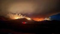
It is burning primarily in grass, brush and timber. The fire is moving through the 2020 Loyalton Fire scar.
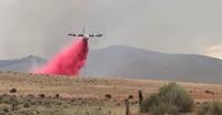
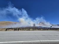
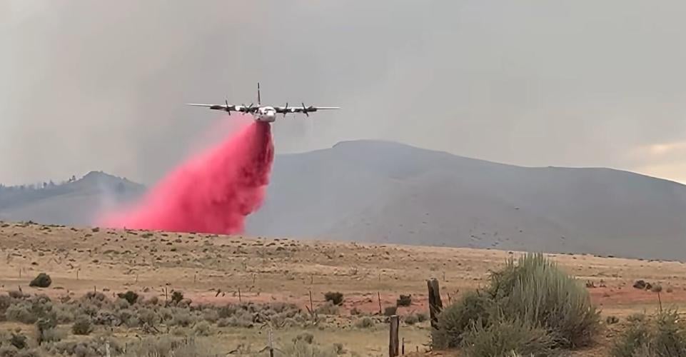
Firefighters are using a combination of direct suppression tactics, including bulldozers to construct fire lines, while aircraft are applying fire retardant and dropping buckets of water to slow the spread.
An evacuation order remains in effect, see the evacuation map here.
July 11 4:30 P.M. UPDATE:
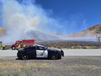
U.S. Forest Service fire crews, the Loyalton Fire Department and other agencies are responding to a wildfire burning east of Loyalton, California in Sierra and Plumas Counties.
The official Cal-Fire incident page says the Elephant Fire has burned an estimated 2,157 acres since starting just after 1 p.m. Saturday.
An Evacuation Order has been issued in Lassen County for for Zone: LAS-451-A near Highway 49 and Dotta Lane.
See an evacuation map here.