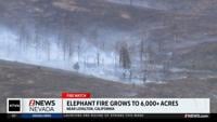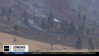
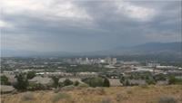


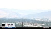

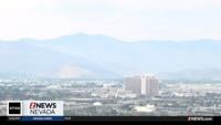
The smoke from the Elephant Fire has had some impacts on the Reno-Sparks area. Between 3 and 4 a.m. Monday, air quality was in the "unhealthy for sensitive groups” range.
It dropped back into the moderate and good ranges not too long after.
“Those who are in the sensitive groups, the elderly, people who work outdoors, people with heart lung conditions, should limit outdoor activities. And then once you start getting into unhealthy and greater AQI, that's when everyone should consider reducing outdoor activity,” said Ben McMullen, an Air Quality Expert for Northern Nevada Public Health.

AQI stands for Air Quality Index. It's determined by sensors all across the area that measure particles in the air.
In simple terms, the weight of the measurement determines how much of a pollutant is in the air. Where those pollutants are found can be heavily influenced by the weather.
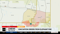
“Wind direction plays a huge role,” said Meteorologist Angela Schilling. “The fire's located just north of Loyalton, so if we get more of a north-northwest wind into the Truckee Meadows, it would allow some of the smoke to move in here. Or if it was a little bit more of a west wind, then across the state line as well.”
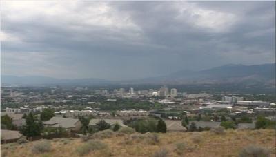
While there is still smoke present in the valley, it has cleared out enough since Monday morning that Reno and Sparks fell back into the good and moderate ranges, which are normal for the area this time of year. Any more spikes would likely happen while most folks are asleep.
“Generally, when we have smoke hitting our area, the highest hours we will see are in the mornings and evenings. That's because there is less wind moving air out of the area. So, the morning time specifically, it allows all that smoke that's built up overnight to settle down and stay in the valley,” said McMullen.
As fire crews continue to fight the Elephant Fire, there is a chance of more smoke coming into the area overnight once again, but both experts believe the wind patterns will keep the smoke north of the area.
The current AQI can always be found here: AirNow.gov. A specific fire and smoke map is located here: AirNow Fire and Smoke Map.