




Flood watches have been issued for parts of the region as developing thunderstorms could produce heavy rain and possible flash flooding.
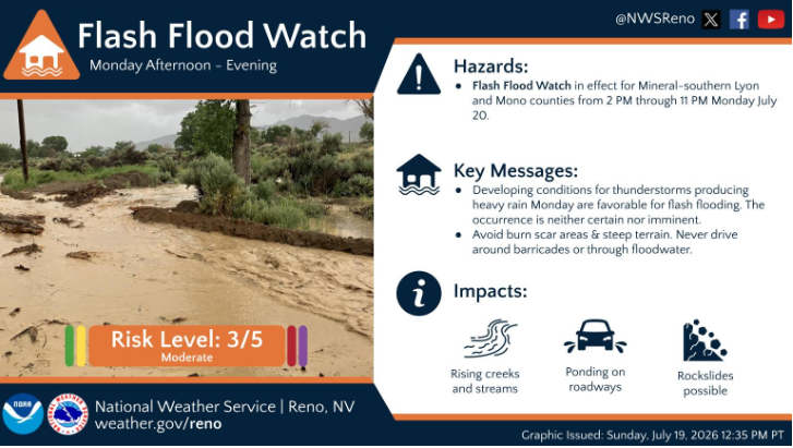
According to the National Weather Service in an online post, developing conditions for thunderstorms producing heavy rain Monday are favorable for flash flooding in Mineral, Southern Lyon and Mono Counties.
The original post issued a watch in effect Monday from 2 p.m. to 11 p.m., saying flash flooding is neither certain nor imminent, but it could lead to rising creeks and streams, ponding on roadways and rockslides.
The agency advised people to avoid burn scars and steep terrain and to avoid driving around barricades or through flood waters.
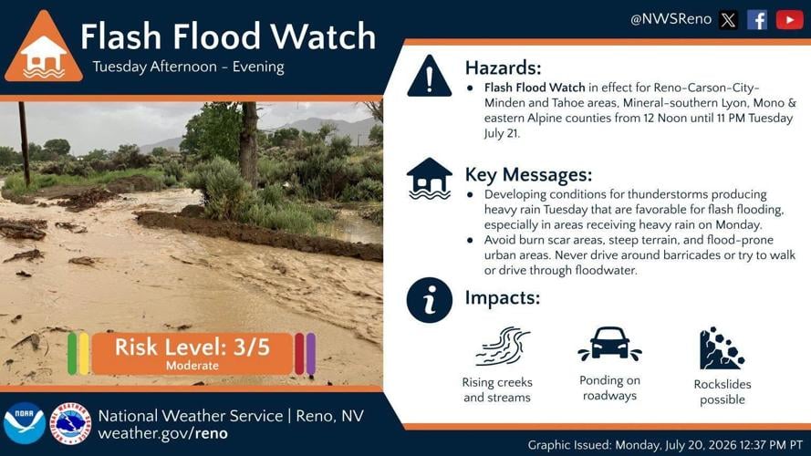
The NWS Reno, in an updated online post, has since issued a separate flood watch in effect from Tuesday afternoon through Tuesday evening for portions of east central California, including Mono County, and western Nevada, including Mineral and Southern Lyon Counties.
The National Weather Service said excessive runoff may result in flooding of creeks, streams, urban areas, burn scars and areas near steep terrain.
Deeper monsoonal moisture combined with daytime heating will produce scattered thunderstorms each afternoon and evening through Tuesday. Slower-moving storms could redevelop over similar areas, increasing the risk for heavy rainfall capable of producing flash flooding.
(National Weather Service Reno contributed to this story.)