
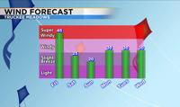
Beginning Friday, an area of low pressure will bring more wind, fire danger, and cooler weather to the region.
From
To

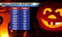
October has now come to a close and it was a dry and fairly mild month. It will go down in history as one of the driest October's in Reno history.


Living in a dry climate that is not very humid has its pros and cons.
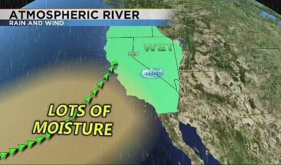
December and January are our two wettest months getting about an inch of liquid precipitation on average at the Reno Airport. Even higher than that if we have a lot of atmospheric river events.

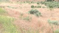
Fire season has arrived in the Truckee Meadows with the first Red Flag Warnings issued for the year.

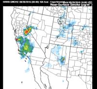
More smoke and haze will move into the region on Tuesday which in return may worsen the air quality, especially south of Reno. Majority of the haze will come in from California, both from the Soberanes fire and the Owens fire located east of June Lake.

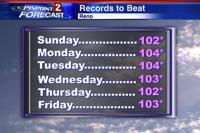
The last week of July will be the hottest week we’ve had so far this summer.

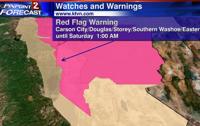
Red Flag warnings are in place from 1pm Friday afternoon through 1am Saturday morning for far western Nevada including Carson City, Douglas, Storey, Southern Washoe and Eastern Lyon Counties.

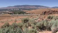
It's been a busy start to fire season so far with plenty of dry air to work with. But is all this wind and dry air unusual for this early in the season?

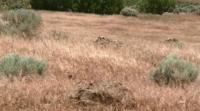
As the wind picks up, fire danger goes up as well. A Red Flag Warning means we need to pay extra attention to fire danger. The criteria can vary based on the elevation and terrain.