




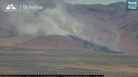

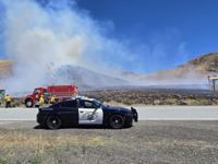

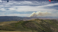

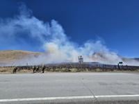
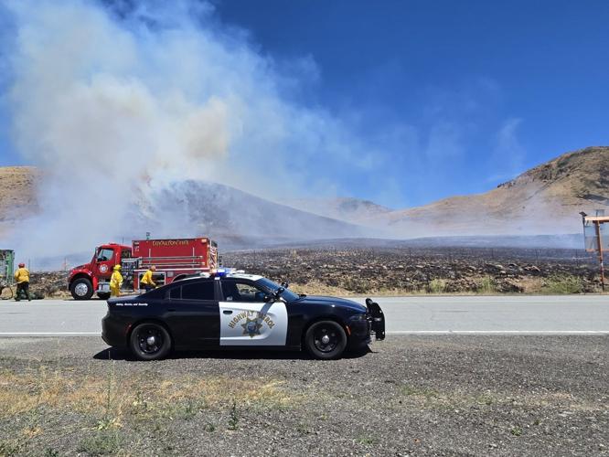
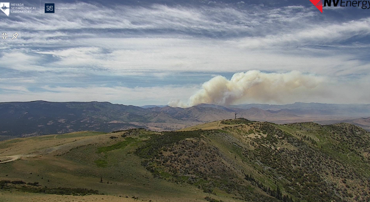
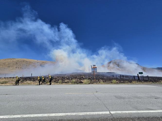
July 13, 3:21 p.m. - UPDATE
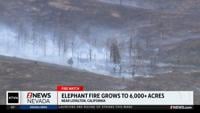
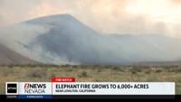
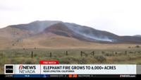
The Elephant Fire east of Loyalton is still 5% contained at 12,303 acres.
The cause remains under investigation. It started just before 1:30 p.m. Saturday north of Loyalton and Highway 49 in the Tahoe National Forest.
More than 430 personnel are working the fire.
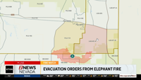
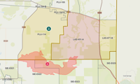
People in LAS-451-A are ordered to evacuate.
Evacuation warnings remain in effect for:
- LAS-671-B
- PLU-104-A
- PLU-144
See the live evacuation map here.

July 12 3:00 p.m. UPDATE:
Truckee Meadows Fire Protection is reporting there was no significant growth overnight on the Elephant Fire. It has burned an estimated 4,400 acres.
Fire officials say Truckee Meadows residents should expect drift smoke to continue to move into the area today.
More resources are being added to the fire, including air attacks as the fire moved to the easter side of the ridge tops.
The fire is currently 5 percent contained.
Current evacuation information can be found here.
July 11 10:00 p.m. UPDATE:
According to Cal Fire, the Elephant Fire has now burned 4,484 acres.
July 11 6:30 p.m. UPDATE:
According to CAL FIRE, the Elephant Fire is now 5 percent contained and has burned an estimated 2,300 acres.
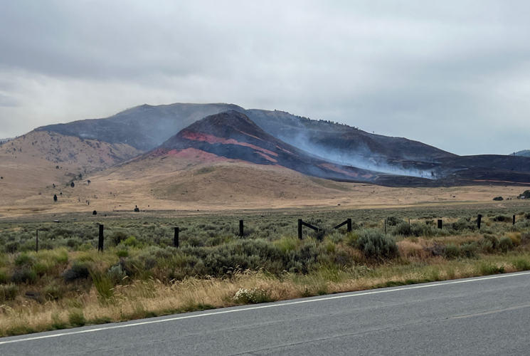
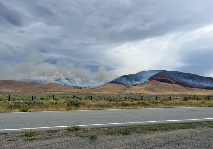
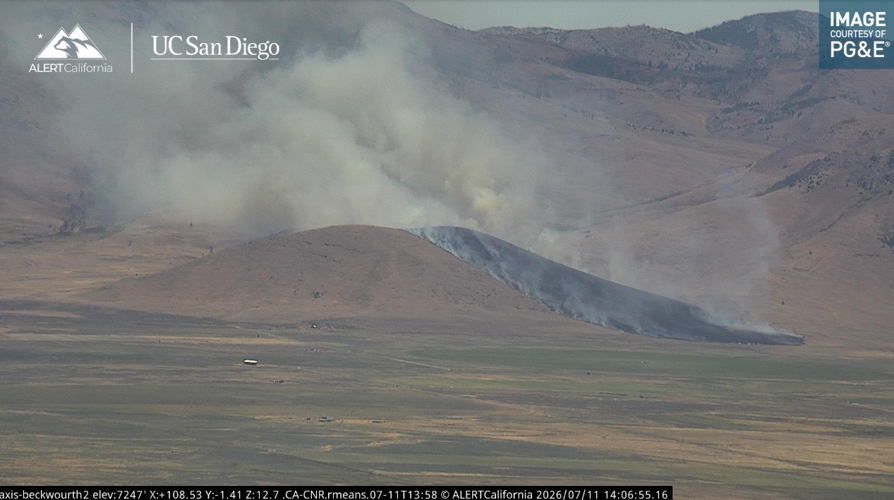
According to the Forest Service, the Fire ignited near Highway 49, northeast of Loyalton, Calif. near the Sierra and Plumas County line.
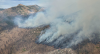
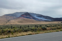
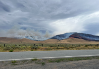
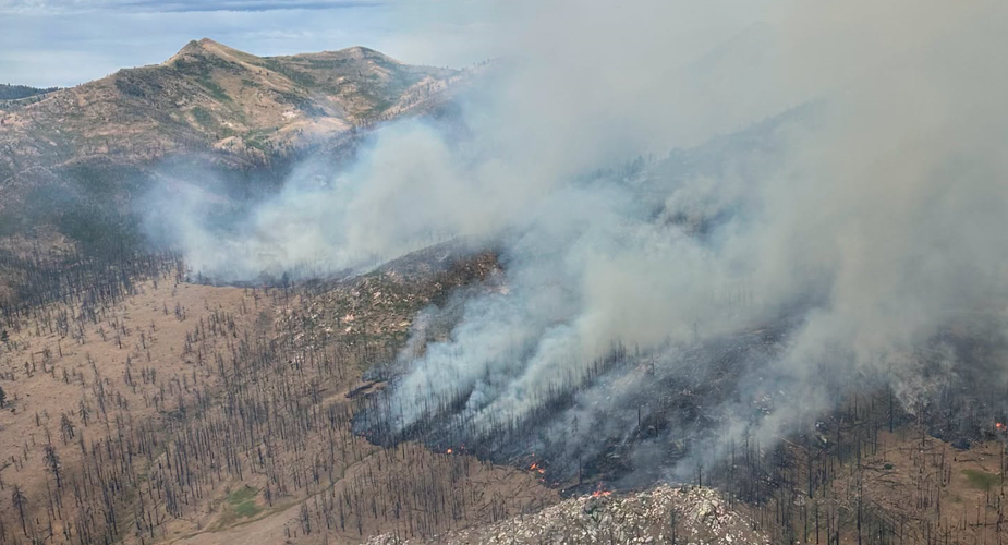
It is burning primarily in grass, brush and timber. The fire is moving through the 2020 Loyalton Fire scar.
Firefighters are using a combination of direct suppression tactics, including bulldozers to construct fire lines, while aircraft are applying fire retardant and dropping buckets of water to slow the spread.
An evacuation order remains in effect, see the evacuation map here.
July 11 4:30 P.M. UPDATE:
U.S. Forest Service fire crews, the Loyalton Fire Department and other agencies are responding to a wildfire burning east of Loyalton, California in Sierra and Plumas Counties.
The official Cal-Fire incident page says the Elephant Fire has burned an estimated 2,157 acres since starting just after 1 p.m. Saturday.
An Evacuation Order has been issued in Lassen County for for Zone: LAS-451-A near Highway 49 and Dotta Lane.
See an evacuation map here.