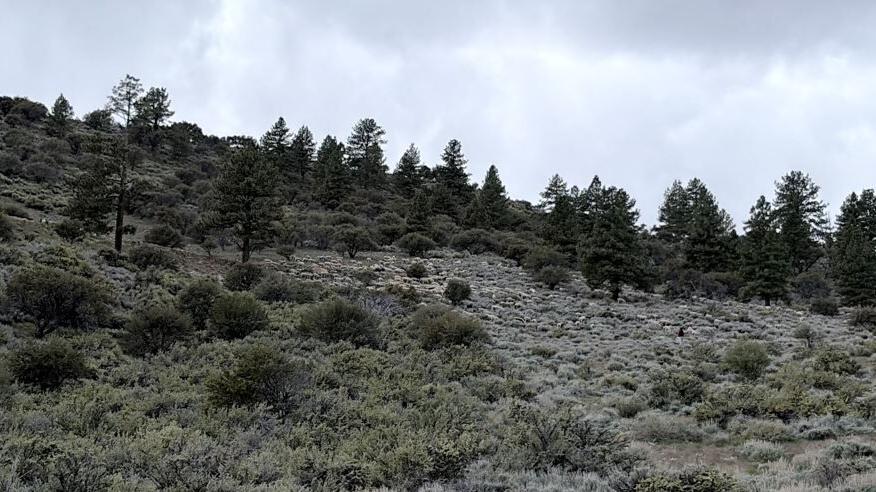
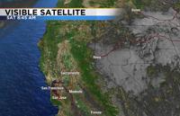
Temperatures cool off quick at night when skies are clear and winds are light, but last night a deck of clouds developed over western Nevada preventing lows from being as cold as they could have been.
Lows Saturday morning were in the 20’s and 30’s around Reno with teens and single digits in the Sierra where there was less cloud cover.
Cloud cover acts as an insulator at night keeping the warm air we’ve gathered during the day from escaping back into the atmosphere.

An inversion is a warm layer of air above a colder layer of air.
A pretty strong inversion was in place Friday night, allowing for a deck of low-level clouds to develop.
The air at the surface rises, reaches the warm air above, stops rising, condenses and forms a cloud. Inversions can also lead to fog and prevent thunderstorms from developing.

You can think of an inversion like a lid on a pot of boiling water. The lid keeps the bubbles from escaping, unless something breaks the lid.
Wind or a storm can bust apart an inversion. Temperatures would have been in the teens around Reno Saturday morning if it was not for the clouds.

A trough of low pressure expanded west on Saturday eventually clearing us out and giving us some drier air.
This means cloud cover is less likely Sunday morning, but cannot be ruled out.
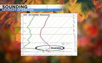
A sounding shows the temperature profile throughout the atmosphere and still shows a decent inversion in the Reno area Saturday afternoon.
The red line is for temperatures and shows an inversion around 750 millibars. The air is also more saturated at the lower levels than the upper levels.
Temperatures are forecasted to be in the teens and low 20’s Sunday morning around Reno. Highs will be in the lower to mid-40’s.
There's a 40 percent chance clouds develop again tonight, keeping temperatures warmer than expected.