
The National Weather Service is reporting its Doppler Radar picked up activity of a strong thunderstorm developing near the North Valleys, Stead and Cold Springs area.
The storm appears to be moving west at about 10 miles per hour. Residents may see heavy rain and hail up to a half inch in diameter with gusty winds (up to 35 miles per hour).
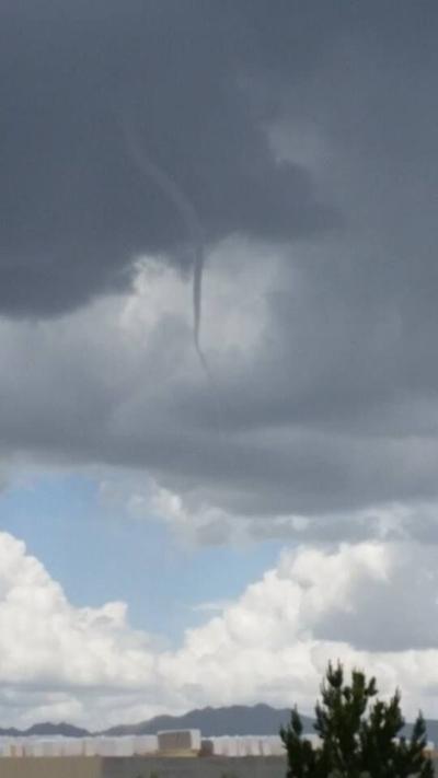
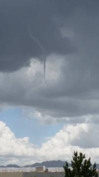
Channel 2 News has received multiple reports of a funnel cloud spotted north of Reno this afternoon. The National Weather Service has confirmed the column of air was indeed a funnel cloud and not a tornado because it did not make contact with the ground.
Thunderstorms may continue to develop this afternoon into the early evening as low pressure lingers over the region. Chief Meteorologist Mike Alger will be tracking the storm activity tonight on Channel 2 News at 5, 6:30 & 11pm.
You can also watch our live broadcasts online at
www.KTVN.com.