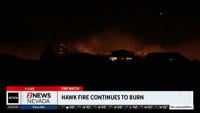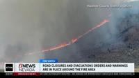

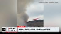


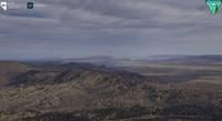

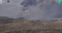
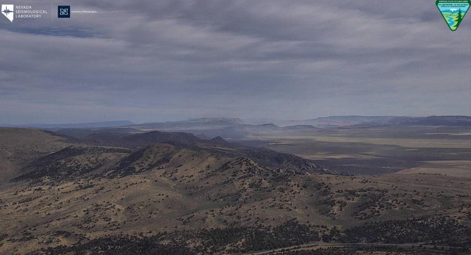
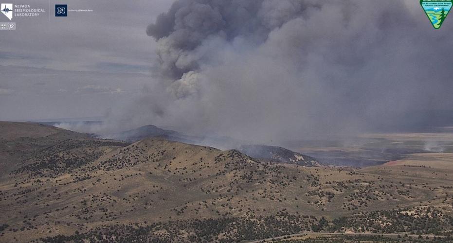
A fire in northern Washoe County is now 5% contained at 9,524 acres after growing nearly 4,000 acres on Wednesday.
Authorities say the S-1 Vya Fire near Vya is threatening one structure and two outbuildings, after starting early Monday afternoon.
Fire crews say for Thursday, "the fire has the potential to remain active and continue growing north" and that "structure protection will remain a high priority with fire engine crews removing flammable material from around structures and constructing holding lines to create defensible spaces around threatened structures."
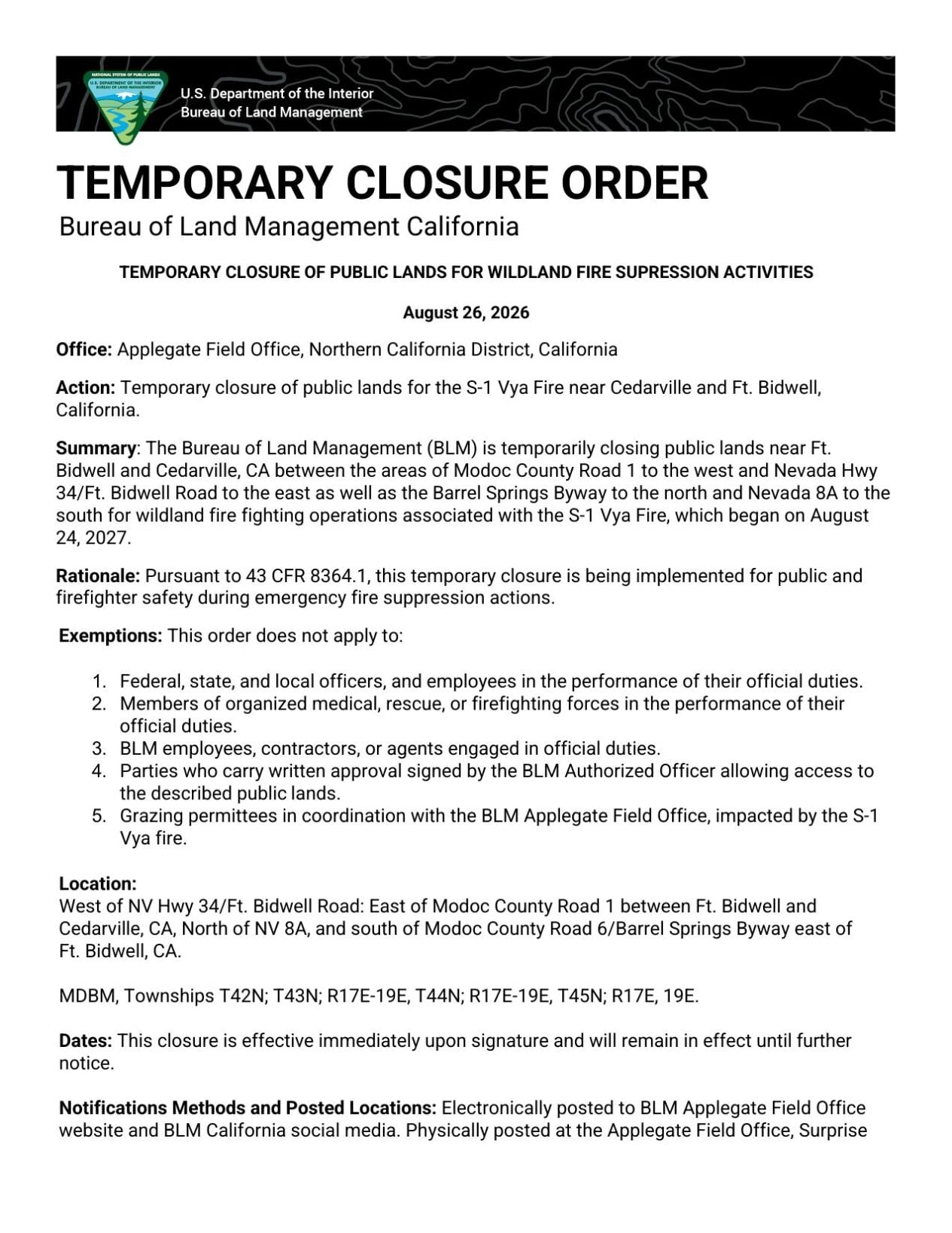
Road closures are in place at the intersection of County Road 34 and County Road 8A, and at the intersection of Barrel Springs Road and Mosquito Road.
Some evacuations are in place near Vya, a small ghost town essentially abandoned in the 1920s. Fire crews say, "Three structures have been impacted by the fire," but haven't given additional details.
About 300 personnel are working the fire.
Evacuations have been issued by Washoe County. For the latest information and evacuations, visit the Washoe County Emergency Management dashboard: https://experience.arcgis.com/experience/46cb79ef933d4485b9966a9730e2d944/page/Perimeter/

ORIGINAL STORY:
The Washoe County Sheriff’s Office and Truckee Meadows Fire & Rescue are working with the Federal Wildfire Services to battle a wildfire that is prompting evacuations in north Washoe County.
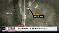
The S-1 Fire is burning near Vya, a small ghost town essentially abandoned in the 1920s.
The Sheriff's Office, in coordination with Truckee Meadows Fire & Rescue, completed evacuation notifications for residents in the Vya area
The fire began on Monday around 2:50 p.m., according to a release from the Washoe County Sheriff’s Office.
It has grown to more than 5,000 acres and remains active.
The public is asked to avoid County Road 8A and County Road 34 in the affected area whenever possible to allow firefighters, law enforcement and other emergency personnel to safely continue response operations.
People in the area should closely monitor evacuation information and be prepared to leave if conditions change.
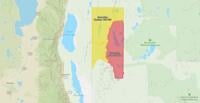
You can get updated evacuation information at Perimeter Map.
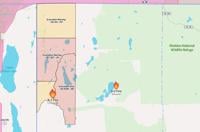
A map current as of 3:30 p.m. can be seen below.