You have permission to edit this pdf.
Edit
Home
  • About Us
  • Contact Us
  • Digital FAQ
  • Closed Caption Concerns
  • Do Not Sell My Information
  • KTVN EEO Report
  • FCC Public Inspection File - KTVN
Watch
  • Top Videos
  • Latest Newscast
  • Latest Forecast
News
  • Submit News
  • News Links
  • Local News
  • Nevada News
  • Nevada Legislature
  • Homeless Nevada
  • California News
  • National News
  • World News
  • Campaign 2024
  • Meet The Team
  • Scams
Weather
2 Plus You Nevada
  • Community
  • Entertainment
  • Family
  • Food
  • Plus You
Local Events
Sports
  • High School Sports
  • Reno Aces
  • Wolf Pack Football
  • Wolf Pack Baseball
  • Wolf Pack Basketball
  • Wolf Pack Softball
  • J K Metzker
Features
  • Health Watch
  • Ask the Doctor
  • Someone 2 Know
  • Face the State
  • Your 2 Cents
  • Adventures with Jeff
  • Nevada Backroads
  • What the Tech
  • Pie Champion Awards
Contests
Business Directory
What's On
Join Our Team!
Photo Galleries
  • Photo Galleries Weather
  • Facebook
  • Twitter
  • LinkedIn
  • YouTube
  • Instagram
  • iOS App
  • Android App
  • Meet The Team
  • Business Directory
  • Contact Us
  • News Links
  • Join Our Team
  • Submit News
  • Facebook
  • Twitter
  • LinkedIn
  • YouTube
  • Instagram
  • Mobile Apps
  • iOS App
  • Android App
site-logo
  • Open user controls
    • Log In Using Your Account

      Log In
      Don't have an account? Sign Up Today
    • My Account
    • Dashboard
    • Profile
    • Saved items
    • Logout
  • 81°
  • News
  • Watch
  • Weather
  • Sports
  • Health Watch
  • Things 2 Do
  • Features
  • 2 Plus You Nevada
Share This
  • Facebook
  • Twitter
  • WhatsApp
  • SMS
  • Email

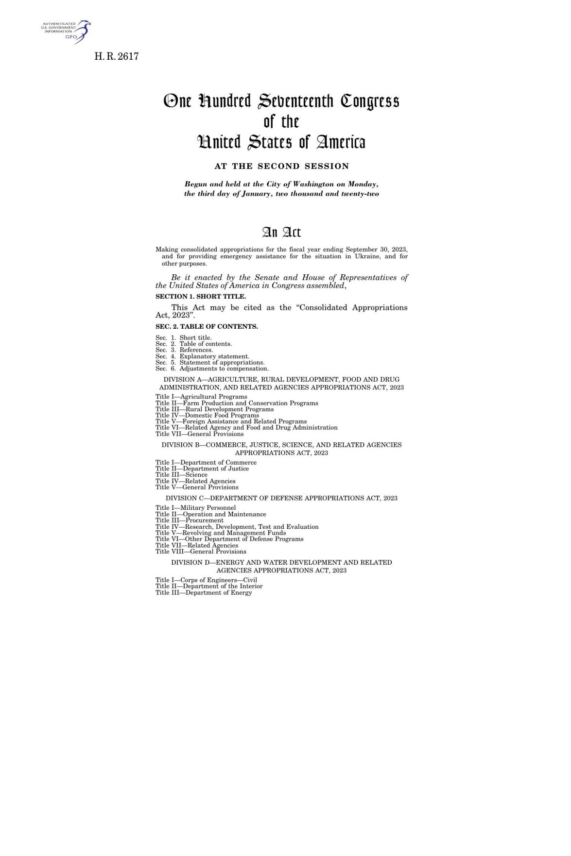
Consolidated Appropriations Act, 2023

  • Feb 15, 2023
  • Feb 15, 2023 Updated Feb 15, 2023
  • Facebook
  • Twitter
  • WhatsApp
  • SMS
  • Email
  • Print
  • Save
Download PDF Consolidated Appropriations Act, 2023

As featured on

Reno VA Medical Center Explores New Location After Funding

Reno VA Medical Center Explores New Location After Funding

The local VA says it will seek public comments at a later date. 

  • Facebook
  • Twitter
  • WhatsApp
  • SMS
  • Email
  • Print
  • Save

Weather Alert

...FLOOD ADVISORY IN EFFECT UNTIL 645 PM PDT THIS EVENING...

* WHAT...Flooding caused by excessive rainfall is expected.

* WHERE...South Central Washoe County in western Nevada...

* WHEN...Until 645 PM PDT.

* IMPACTS...Minor flooding in low-lying and poor drainage areas.

* ADDITIONAL DETAILS...
- At 439 PM PDT, Doppler radar indicated heavy rain due to
thunderstorms. Minor flooding is ongoing or expected to begin
shortly in the advisory area. Up to 1 inch of rain has fallen.
- Some locations that will experience flooding include...
Virginia Peak and Nixon.
- http://www.weather.gov/safety/flood

PRECAUTIONARY/PREPAREDNESS ACTIONS...

Turn around, don't drown when encountering flooded roads. Most flood
deaths occur in vehicles.

&&


...A SEVERE THUNDERSTORM WARNING REMAINS IN EFFECT UNTIL 600 PM PDT
FOR SOUTHERN WASHOE COUNTY...

At 531 PM PDT, a severe thunderstorm was located near Virginia Peak,
or 19 miles northeast of Reno, moving northeast at 5 mph.

HAZARD...Quarter size hail.

SOURCE...Radar indicated.

IMPACT...Damage to vehicles is expected.

Locations impacted include...
Virginia Peak and Spanish Springs.

PRECAUTIONARY/PREPAREDNESS ACTIONS...

For your protection move to an interior room on the lowest floor of a
building.

Torrential rainfall is occurring with this storm, and may lead to
flash flooding. Do not drive your vehicle through flooded roadways.

&&


HAIL THREAT...RADAR INDICATED;
MAX HAIL SIZE...1.00 IN;
WIND THREAT...RADAR INDICATED;
MAX WIND GUST...<50 MPH

...STRONG THUNDERSTORMS WILL IMPACT WESTERN NEVADA THROUGH 715 PM
PDT...

At 518 PM PDT, Doppler radar was tracking strong thunderstorms from
Pyramid Lake south to southern Lyon and Mineral counties. These
storms will continue to slowly move to the northeast through the
early evening.

HAZARD...Wind gusts up to 40 mph and half inch hail.

SOURCE...Radar indicated.

IMPACT...Gusty winds could knock down tree limbs and blow around
unsecured objects. Minor hail damage to vegetation is
possible.

Locations impacted include...
Reno, Carson City, Fallon, Lovelock, Gerlach, Gardnerville, Virginia
City, Pyramid Lake, Lahontan Reservoir, Topaz Lake, Sparks,
Gardnerville Ranchos, Fernley, Dayton, Johnson Lane, Hawthorne,
Yerington, Wingfield Springs, Cold Springs, and Golden Valley.

PRECAUTIONARY/PREPAREDNESS ACTIONS...

If outdoors, consider seeking shelter inside a building.

&&


MAX HAIL SIZE...0.50 IN;
MAX WIND GUST...40 MPH
Currently in Reno

81°
Mostly Cloudy
83° / 56°
6 PM
80°
7 PM
78°
8 PM
75°
9 PM
72°
10 PM
70°
Watch 2 News

Most Popular

  • Articles
  • Videos

Articles

  • Tornado warning issued as severe storms bring hail and flash flooding to western Nevada
  • Multiple crashes on I-80 cause massive traffic backups, one arrest made for impairment
  • All access to Pyramid Lake closed due to wildfire
  • Person taken into custody after two-car crash in downtown Reno
  • Containment grows on Bug Fire and Stallion Fire, helped by rainfall in the area
  • Talbot Fire near Lake Tahoe now 15% contained
  • Officers intervene in downtown Reno fight, suspect arrested
  • ‘The worm’ looks to mitigate fire fuels in Incline Village amid large wildfires near Reno
  • South Lake Tahoe Mayor Cody Bass found guilty of harassment
  • Water main break closes northbound USA Parkway near Sydney Drive

Videos

  • Parts of 447 by Pyramid Lake is shut down due to flash flooding
  • One Powerball ticket hit all six numbers last night, winning the $1 billion jackpot
  • Nine homes near Red Rock Road have been destroyed by the Bug Fire
  • Rain and higher humidity have helped firefighters over the last 24 hours
  • Firefighters working on getting a handle on the Talbot Fire in Placer County
  • Person taken into custody after two-car crash in downtown Reno
  • Hawaii prepares for storms and fires
  • Nothing Bundt Cakes is expanding to northwest Reno
  • Timber Fire grows quickly in Monterey
  • Crews were working all night and day on the 395 side of the Bug Fire and provided an update earlier today
site-logo

Sections

  • Home
  • News
  • Sports
  • Live Stream
  • Weather
  • Meet The Team
  • Contests
  • Business Directory
  • Things 2 Do
  • Online Features
  • Request a Copy of a News Story

Services

  • Pay My Bill
  • FCC Public Inspection File
  • FCC Applications
  • KTVN Advertising Terms & Conditions
  • KTVN EEO Report
  • FCC Public File Help
  • Do Not Sell or Share My Info
  • Digital FAQ
  • Closed Caption
  • Search
  • Privacy Policy
  • Terms of Use

Contact Information

2News.com
4925 Energy Way
Reno, NV 89502
Phone: 775-858-2222
Email: Producers@ktvn.com
  • Facebook
  • Twitter
  • LinkedIn
  • YouTube
  • Instagram
  • Mobile Apps
  • iOS App
  • Android App

Browser Compatibility

Your browser is out of date and potentially vulnerable to security risks.
We recommend switching to one of the following browsers:

Microsoft Edge Google Chrome Firefox
© Copyright 2026 KTVN 4925 Energy Way, Reno, NV  | Terms of Use  | Privacy Policy
Powered by BLOX Content Management System from BLOX Digital.
  • Notifications
  • Settings
You don't have any notifications.

Get up-to-the-minute news sent straight to your device.

Topics

Breaking News