


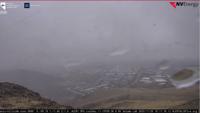


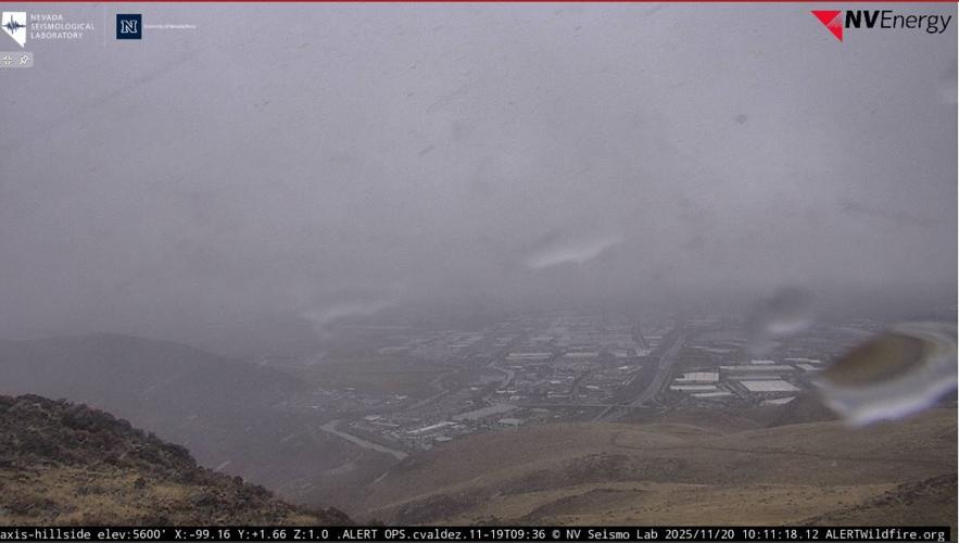

Thursday marks the last day of showers and Sierra snow this week before clearing up and warming up this weekend.
Light widespread showers continue into the afternoon leaving snow potential above 5500 feet with light rain expected to lower elevations.
Temperatures remain below average Thursday and Friday before getting back to normal this weekend.
This storm will produce between two and four inches in the higher terrain around Lake Tahoe with snow levels around 6000 to 6500 feet.
Higher snowfall totals can be expected further south into Mono County through Friday morning.
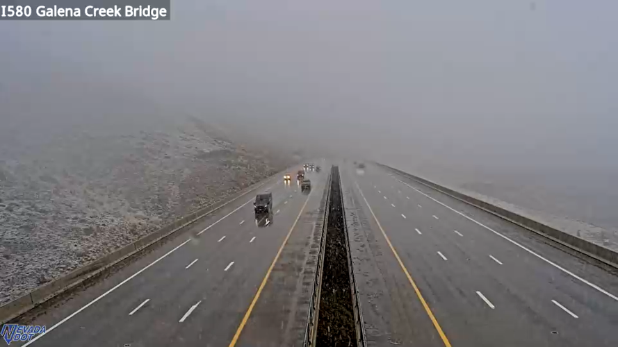
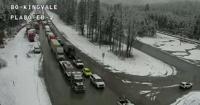
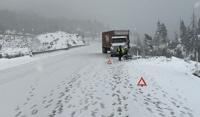
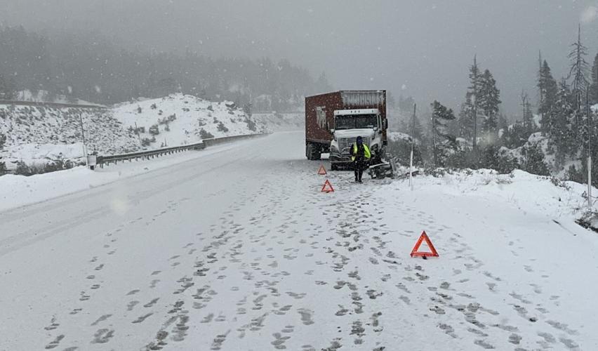
Chains controls are in effect over Donner Summit, Mt. Rose Highway, Kingsbury Grade and U.S. 50 on Spooner and Echo summits.
Earlier, a crash prompted all trucks heading east on I-80 to be turned around near Applegate, but it has since reopened to trucks.
You can use Nevada 511 and Caltrans QuickMap to keep an eye on road conditions this winter.