


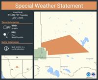

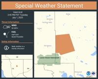

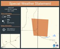

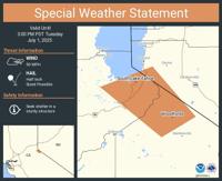

The National Weather Service has issued a special weather statement for parts of the Greater Lake Tahoe and Reno areas, as a strong thunderstorm moves through the region this afternoon.
Doppler radar detected the storm near Mesa Vista, approximately 9 miles northeast of Carson Pass, moving northwest at 10 mph.
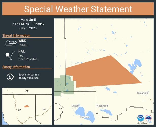
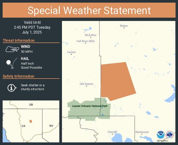
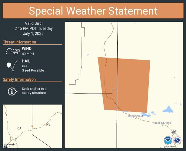
The storm is expected to bring wind gusts up to 50 mph and hail up to half an inch in diameter.
The gusty winds could cause tree limbs to break and blow unsecured objects around.
There is also a possibility of minor hail damage to vegetation.


Locations impacted include South Lake Tahoe, Woodfords, Meyers, Mesa Vista, Alpine Village, Zephyr Cove-Round Hill Village, Kingsbury, Hope Valley, and several other areas in the region.
The warning is in effect until 3:00 PM PDT.
Showers and thunderstorms will be forming this afternoon across the eastern Sierra, Sierra Front, and northeast CA. These storms will be capable of producing small hail and gusty outflow winds up to 50 mph. Remember, when thunder roars, go indoors! #nvwx #cawx pic.twitter.com/BzkrgvInKr
— NWS Reno (@NWSReno) July 1, 2025
The National Weather Service advises residents and visitors to take precautions, especially those outdoors. “If on or near Lake Tahoe, get out of the water and move indoors or inside a vehicle,” the agency recommends. “Lightning can strike out to 10 miles from the parent thunderstorm, so if you can hear thunder, you are close enough to be struck.”
Those in campgrounds are also urged to seek sturdy shelter until the storm passes.


