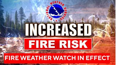

A Fire Weather Watch has been issued for the Sierra Front, with forecasters warning of strong winds and low humidity expected to create elevated fire danger from Friday morning through Saturday evening.
The National Weather Service in Reno said the watch covers Carson City, Douglas, Storey, southern Washoe, western Lyon and far southern Lassen counties.
Winds are expected to come from the west at 20 to 30 mph, with gusts reaching up to 45 mph. Afternoon humidity levels are forecast to drop between 12% and 20%.
Forecasters said the elevated conditions are expected to last two to four hours on Friday and three to eight hours on Saturday. While humidity is expected to recover Friday night, breezy winds will continue on midslopes and ridges.
Officials warned that the combination of gusty winds and low humidity could allow any fire to grow quickly in size and intensity before it can be contained, especially in areas with recent lightning activity.
People are advised to avoid activities that could create sparks near dry vegetation, including yard work, target shooting or campfires, and to follow local fire restrictions. Updates and preparedness information are available through the National Weather Service in Reno and fire safety resources.


