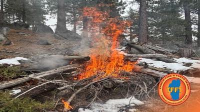

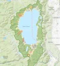
This week, the Tahoe Fire & Fuels Team is scheduled to carry out prescribed burns near Osgood Swamp, off North Upper Truckee Road, as part of an ongoing effort to manage wildfire risk in the Lake Tahoe Basin.

Led by the USDA Forest Service Lake Tahoe Basin Management Unit, the project aims to safely eliminate built-up vegetation—also known as forest "fuels"—that can intensify wildfires.
If weather and safety conditions are favorable, the burns will continue throughout the week.
Residents and visitors should expect to see smoke in the area and are encouraged to check air quality updates through the AirNow website or the Fire and Smoke Map.
For those who want to stay informed, updates and detailed project information are available on the Prescribed Fire Map via Tahoe Living With Fire.
Community members can also sign up for direct notifications by emailing the Prescribed Fire Notification List.
For more information about prescribed burns and forest thinning procedures, visit the Tahoe Living With Fire website.