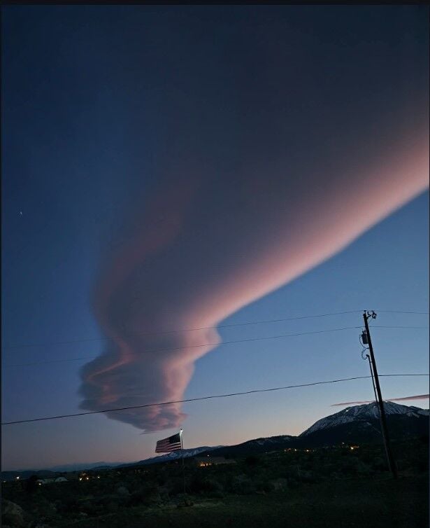
Taken Monday evening 3/10/2026
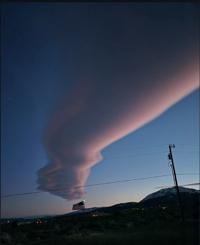
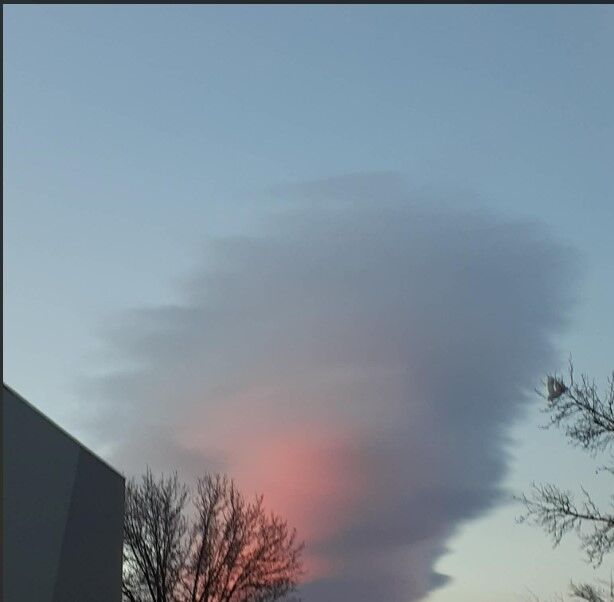
Not very many clouds look like spaceships, but then there are lenticular clouds. These clouds are common in mountainous areas, including northern Nevada. Locals like to call them Sierra Wave Clouds. They look really neat during sunrise and sunset when they turn bright red or pink.
Sierra Wave Clouds require stable air and strong winds aloft, moving perpendicular to the mountains. While they are neat to look at they are an aviation hazard and can create a lot of turbulence aloft. They are most common during winter and spring when wind speeds tend to be the strongest in the upper atmosphere.
Sierra Wave Clouds can be neat to look at, but can also create a lot of turbulence.
How they form is similar to when a rock is thrown in a river or stream, creating little eddies. As strong winds run into the mountains, the air is forced up and over, creating waves on a very small scale. These are called mountain waves or eddies.


If there is enough moisture, Sierra Wave Clouds form. The scientific name for them is Alto Cumulus Standing Lenticular Clouds. They are stationary, capable of sitting in the same spot for up to several hours. Some lenticular clouds are longer or bigger than others. They are constantly growing and dissipating, making them look like layers of pancakes.

Conditions are right for wave clouds on Tuesday, with many spotted in the Reno area beginning Monday night. It is also a windy day with wind gusts around 35 miles per hour. While the air is dry at the surface, there is enough moisture aloft to form clouds. The jet stream is also perpendicular to the mountains, combining with stable air to form Sierra Wave Clouds. Feel free to email photos to producers@ktvn.com.