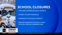


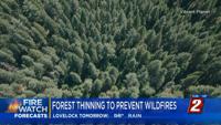

Every year, we see wildfires spread across vast areas, and unfortunately, limited resources are available to cover everything. Protecting natural resources requires multiple jurisdictions to work together to deploy expensive resources strategically. However, a new cloud-space analytics software is enabling agencies and communities to come to a consensus on how best to protect the land in our region.
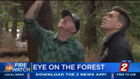
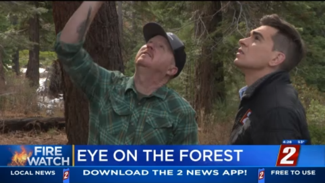
"I was a forester with the Forest Service, and as disturbances became larger and larger, it became harder and harder to walk every acre.," said Vibrant Planet Co-Founder Scott Conway, "The fire problem is so big a single forester can't walk a hundred thousand acres to figure out what needs to go where."
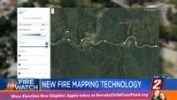
Vibrant Planet's Land Tender software is a multifaceted cloud-space analytics tool deployed in the Lake Tahoe Basin Management Unit successfully.
"It essentially takes all the things on our landscape that have value: somebody's home, a business, a hospital, a cell phone tower. But we also bring in information like recreation, things like biodiversity with more intrinsic value," explained Conway.
The platform provides a centralized hub for data and scientific information, enabling effective communication and collaboration among users. It serves as a valuable tool for natural resource managers, non-profits, indigenous tribes, and the public, allowing them to compare scenario applications and evaluate the pros and cons of various land management plans.
"How much can we gain if we go treat here versus there? And how much it will cost, and how much workforce do we need to do it," said Conway.
The work that Vibrant Planet is doing in Tahoe seems to have impressed Washington D.C. as Federal regulators have given the green light to expanding the company's efforts to other communities across the Western United States.