



































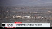






















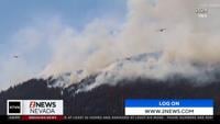






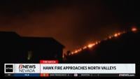

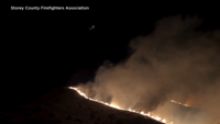

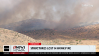

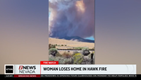




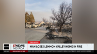



























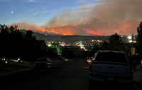

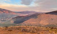


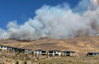










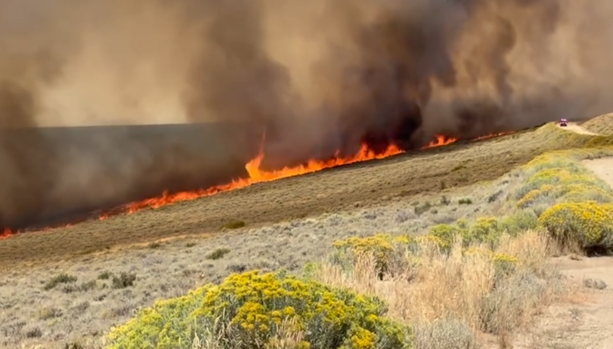
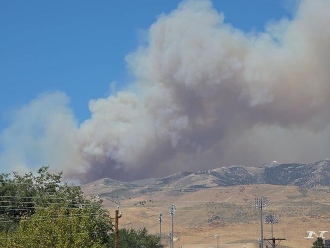

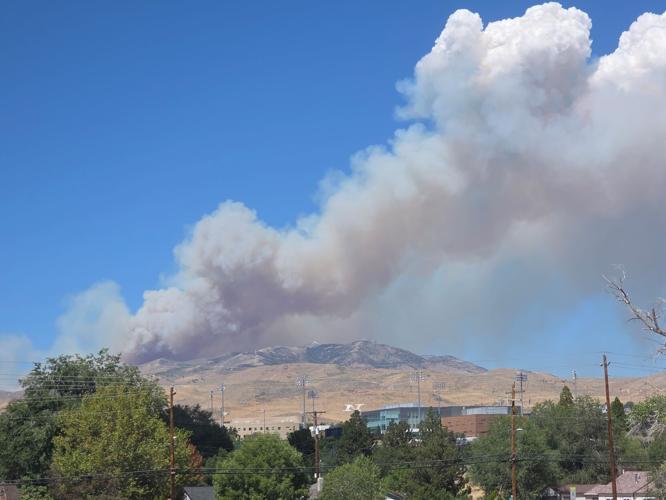
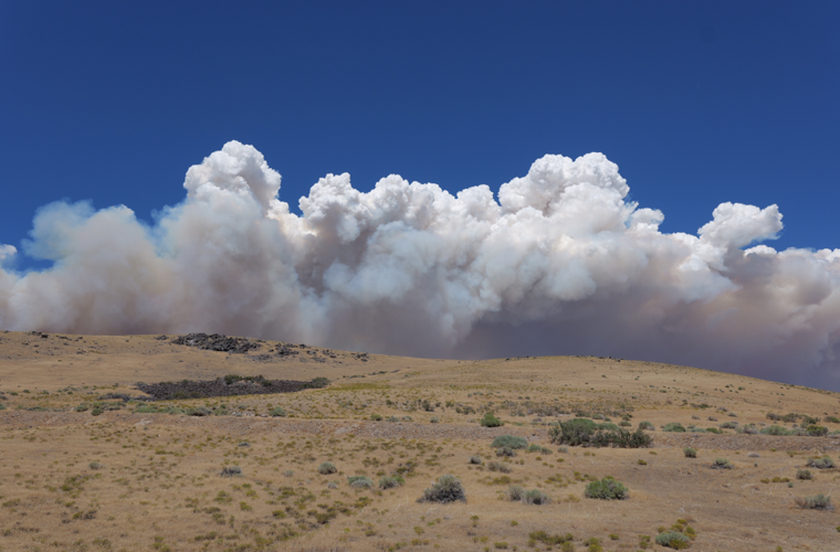
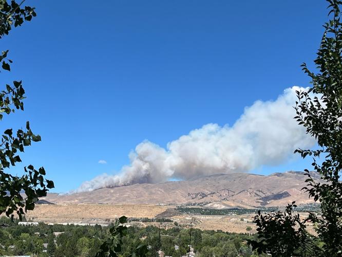
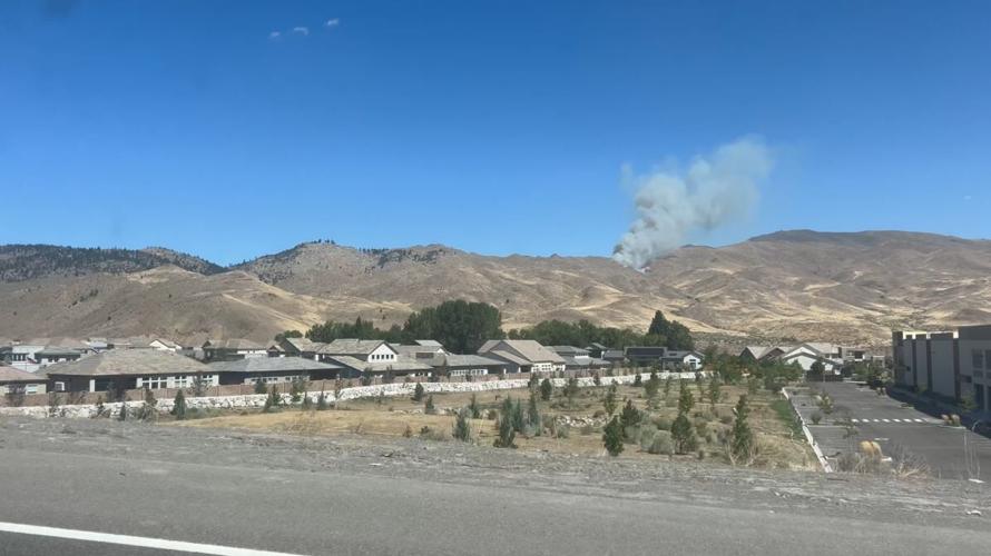
Sept. 9 update:
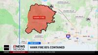
The Hawk Fire is now 100% contained.
Sept. 3 update:
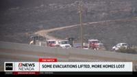
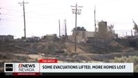
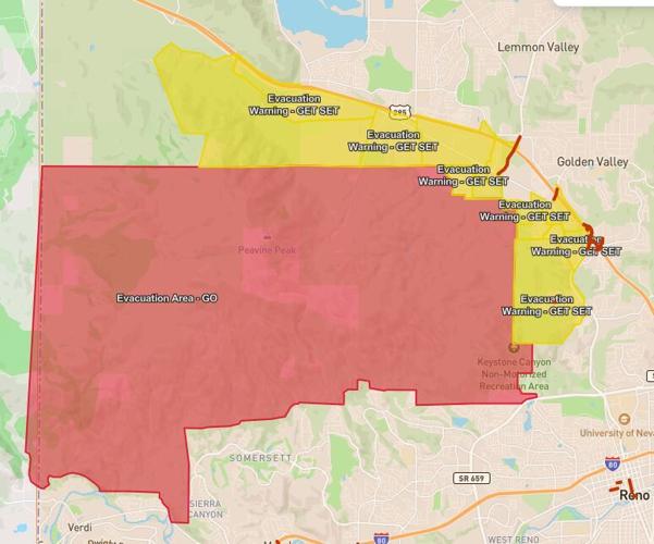
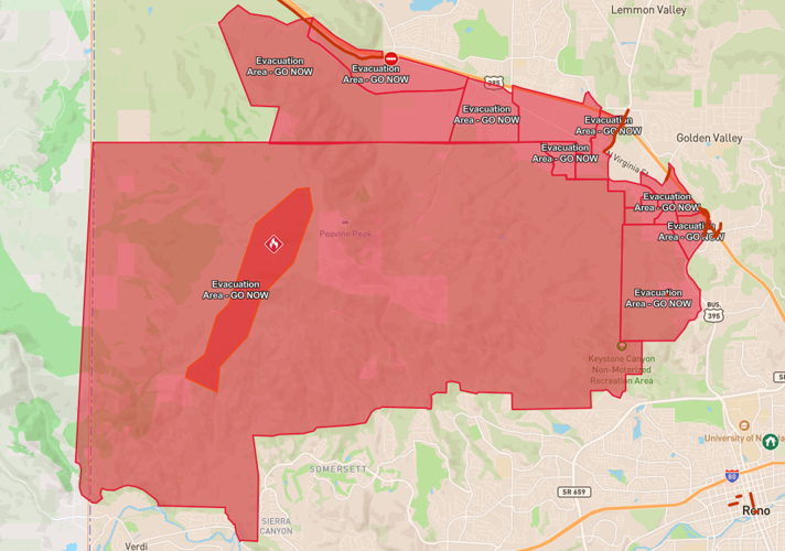
All evacuations for the Hawk Fire have been lifted, according to Perimeter Map.
The lifting of evacuations came early Thursday evening.
Sept. 2 update:
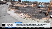
President Donald Trump has approved Nevada’s request for a presidential emergency declaration, opening the door to federal assistance as recovery from the Hawk Fire continues.
President Trump signed Governor Joe Lombardo’s request Wednesday, authorizing FEMA to provide technical assistance and subject matter experts to help address the impacts of the fire. The specific services provided will evolve as Washoe County and the state identify gaps in recovery efforts.
“This emergency declaration gives Nevada the federal resources we need to move quickly and aggressively on Hawk Fire recovery,” said Governor Joe Lombardo. “I’m grateful to President Trump and his administration for responding swiftly to our request and standing with Nevada. We will continue to support impacted communities and ensure Washoe County has the resources necessary to rebuild and recover.”
The declaration was pursued by Lombardo and the Nevada Office of Emergency Management.
“The Presidential emergency declaration is key to accelerating Hawk Fire recovery efforts,” said NV OEM Chief Brett Compston. “The Nevada Office of Emergency Management remains dedicated to supporting Washoe County and those impacted by the fire. This is a significant step toward regaining a sense of normalcy in these difficult times, and we’re grateful for the federal government’s assistance.”
State and county officials conducted preliminary damage assessments on August 28 to evaluate the extent and severity of damage from the fire. Assessment teams plan to return to affected neighborhoods later this week for joint assessments with the Small Business Administration.
Those assessments will help determine whether the disaster meets eligibility requirements for Nevada to seek additional federal assistance.
More information and recovery resources are available at oem.nv.gov/recovery-resources.
Aug. 30 update:
Firefighters continue to make progress on the Hawk Fire which remains 98% contained with acreage holding at 15,085.
Crews are still working to secure the remaining uncontained portion of the fire and will continue patrolling the perimeter, addressing any hot spots and strengthening containment lines along the western edge of the fire.
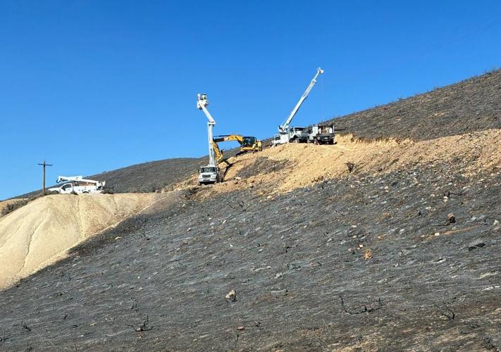
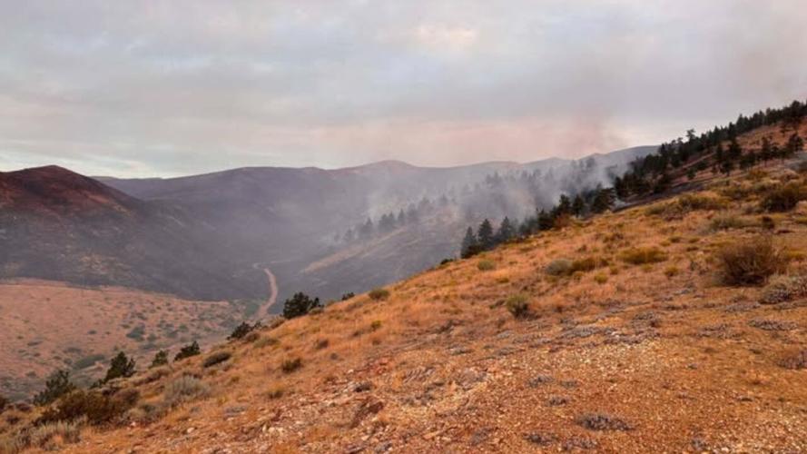
As fire activity continues to slow, much of the focus has shifted to suppression repair.
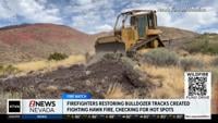
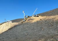
Crews using dozers and excavators are working to repair areas impacted by firefighting efforts and constructed fire lines.
Aug. 29 update:
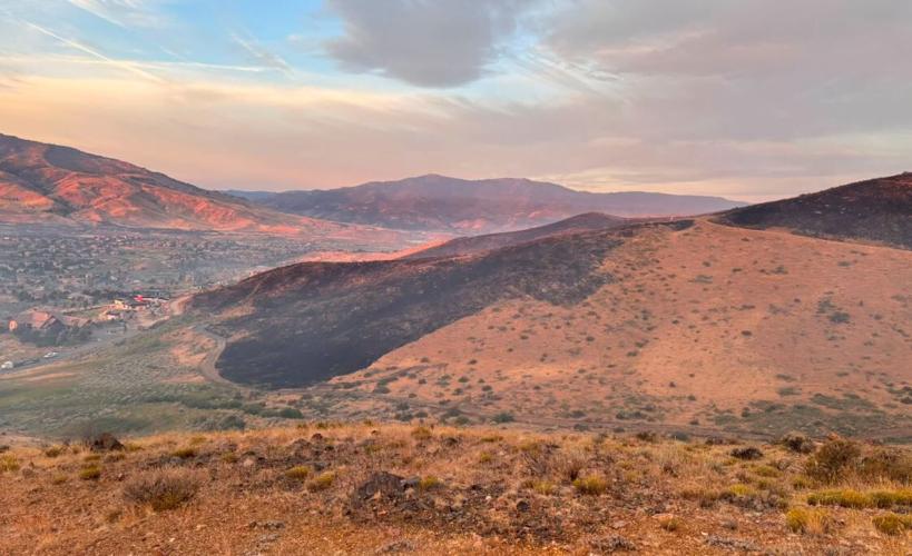
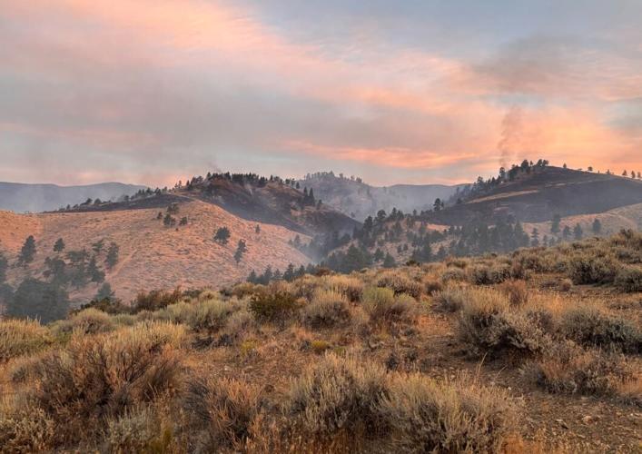
The Hawk Fire is now 98% contained. Crews continue mop-up, hot spot removal and repair work around the burned area.
A small amount of rain fell across the fire area on Friday. It helped with fire conditions but also created slick and muddy roads.
That created challenges for crews and getting heavy equipment moved around the area.
Aug. 28, 10:06 a.m. update:
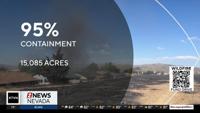
The Hawk Fire is now 95% contained as crews continue mop-up, hot spot removal and repair work around the burned area.
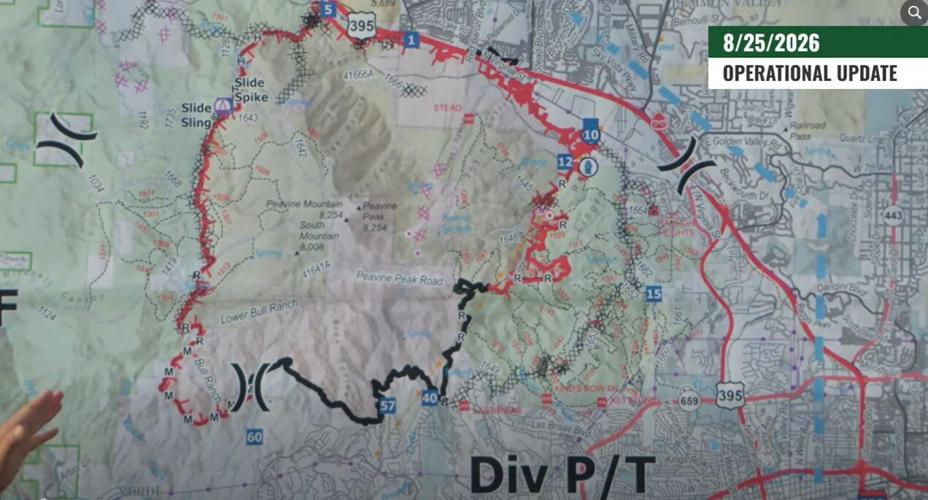
The fire remains at 15,085 acres, with 550 personnel assigned to the incident. Crews are focusing on areas with heavy fuel and stands of trees on the west side, while work on the east side includes repairs to contingency lines and mop-up along containment lines.
Minimal creeping and smoldering are expected to continue Friday. Fire officials say containment does not mean the fire is out, as pockets of unburned vegetation and heat can remain within the fire perimeter.
Rain is also in the forecast, with a 50% to 70% chance of rain, higher relative humidity and calm winds. While those conditions could keep fire activity low, officials warn that rain could bring the possibility of flooding and mudslides in burned areas.
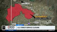
Most evacuation areas have reopened, but forest closures remain in effect while crews complete mop-up, restoration and safety work. Recreation areas, trails and roads within the burned areas remain closed, and people who enter closure areas could face fines and other legal consequences.
Crews, utility workers and public safety personnel continue working throughout affected areas with heavy equipment, some of which has limited visibility. Officials are asking people in those areas to slow down and use caution.
Separately, Nevada Governor Joe Lombardo has asked the White House for a presidential emergency declaration as the state continues response and recovery efforts following the fire.
Aug. 28, 09:15 a.m. update:
Nevada Governor Joe Lombardo has asked the White House for a presidential emergency declaration as the state continues response and recovery efforts following the Hawk Fire in Reno.
Governor Lombardo, working with the Nevada Office of Emergency Management, said federal assistance is needed to help protect people and property, restore critical infrastructure and support recovery efforts.
“The actions from our first responders, state agencies, and local and federal partners have been nothing short of heroic while battling the Hawk Fire,” said Governor Joe Lombardo. “Now, as we begin the road to recovery, Nevada is requesting the full support of our federal partners to protect our communities, restore critical infrastructure, and help those impacted by this devastating fire recover and rebuild.”
If approved, the emergency declaration under the Stafford Act would allow President Donald Trump to provide immediate, short-term federal assistance to Nevada. FEMA could identify, mobilize and provide equipment and resources to address the impacts of the fire, while emergency protective measures could be funded at the president's discretion.
Preliminary damage assessments by local and state agencies are still underway. The findings could lead to additional requests for federal assistance in the coming days.
“We are incredibly grateful for the nationwide and international response to the Hawk Fire,” said Nevada OEM Chief Brett Compston. “A Presidential emergency declaration is crucial, as Nevada’s long-term recovery efforts are just as important as response. We want to restore community lifelines and resources as quickly as possible to those impacted.”
The request comes as recovery efforts continue following the fire, which burned more than 15,000 acres and damaged or destroyed homes and other structures.
Aug. 27, 8:55 p.m. update:
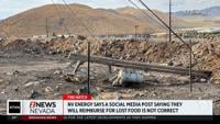
NV Energy has restored power to all customers who lost it due to the Hawk Fire.
The utility company made the announcement in a post on social media on Thursday evening.
At one point, emergency outages were impacting 60,000 customers.
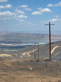
"Hundreds of NV Energy employees have worked tirelessly to inspect, repair and rebuild damaged infrastructure across the community," said the company's post in part. "While electric restoration is now complete, work continues. Crews are still rebuilding infrastructure in the Peavine area, cleaning up damaged equipment and restoring gas service to customers who remain out of service."
Customers who are still without gas service should contact NV Energy Gas Dispatch at (775) 834-4100 to schedule a service appointment.
Meanwhile, Nevada Governor Joe Lombardo signed an executive order on Thursday enabling housing assistance for victims of the recent wildfires.
The order directs the Nevada Housing Division to provide funding through the Nevada Attainable Housing Account to support rental assistance and short-term housing costs for Washoe County residents impacted by the fires.
“Over the last month, thousands of Washoe County residents have faced the uncertainty of evacuation, displacement, and, for some, the loss of their homes,” said Governor Lombardo. “This executive order puts existing state resources to work quickly, helping families secure stable housing and recover from these devastating wildfires.”
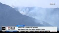
A community meeting was also held on Thursday night for the Hawk Fire.
A replay of a livestream of the meeting can be watched on 2 News Nevada's Facebook page at this link.
It happened at O’Brien Middle School on Silver Lake Road.
Fire managers and local leaders answered questions and provided information, in addition to discussing available resources with residents.
Aug. 27, 4:55 p.m. update:
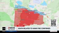
The Sacramento Coroner's Office has confirmed that a Reno woman has died from injuries related to the Hawk Fire.
The person was taken to U.C. Davis for treatment but ultimately died from their injuries.
The victim has been identified as 83-year-old Hayde Medina-Valiente.
Aug. 27, 8:28 a.m. update:
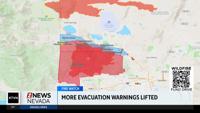
Evacuation warnings north of the Hawk Fire are now lifted.
Crews will continue mop-up, patrol, and line-strengthening operations on the north, south, and east of the fire perimeter.
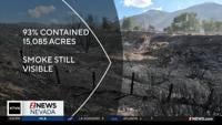
A community meeting is set for Thursday night as the fire remains 93% contained at 15,085 acres.
The community meeting is happening at 7 p.m. at O’Brien Middle School on Silver Lake Road, according to a post on the Hawk Fire Facebook page.
Fire managers and local leaders will answer questions and provide the latest information. They will also share available resources with residents.
Roads in the Hawk Fire area have reopened, but there is still a Forest Closure in place for the burn area.


Nevada Task Force 1 K-9 Search Team has returned home after assisting with the #HawkFire @ClarkCountyNV https://t.co/QySBklBfKn
— NV Emergency Mgmt (@NVEmergencyMgmt) August 27, 2026
Aug. 26 Fire Briefing
Randy Lamb Operation Section Chief says firefighters have made great progress on the Hawk Fire in the last 24 hours.
The blaze is holding at 15,085 acres is now 93% contained. 586 personnel are working on the fire.
Jesse Murray, Senior Vice President of Energy Delivery with NV Energy says 600 customers are still without power. 4,400 customers had their restored in the last 24 hours. They hope to restore power to more customers by 6 p.m. tonight.
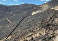
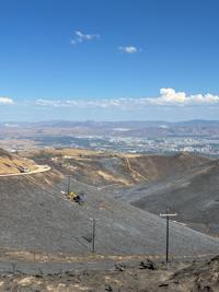
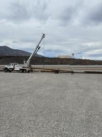
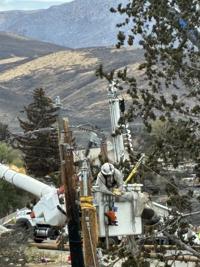
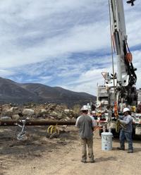
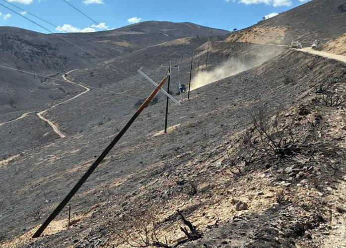
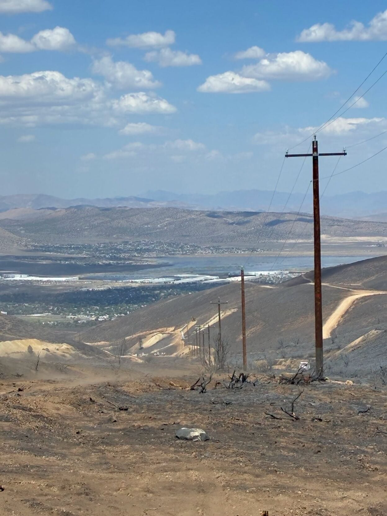
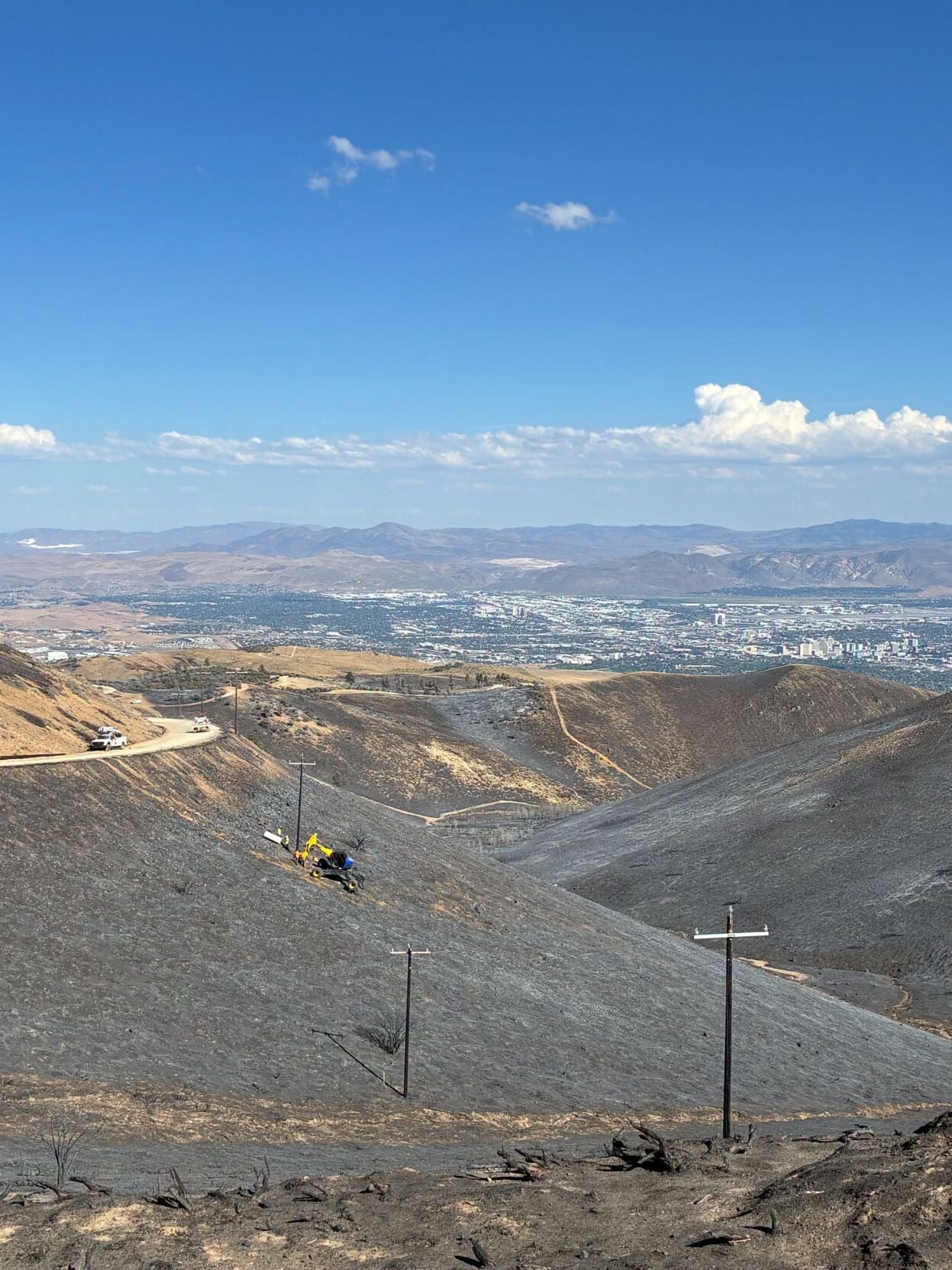
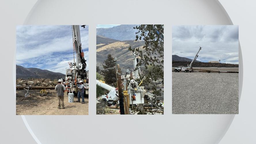
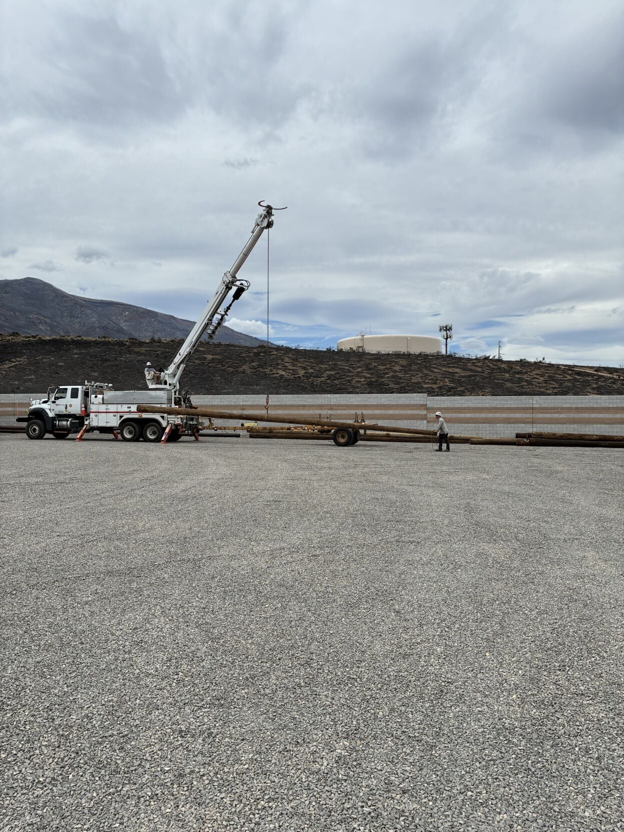
75 power poles have been replaced so far by NV Energy crews; 120 poles were damaged by the Hawk Fire.
To help residents plan, NV Energy created area-by-area restoration maps that include our best estimates for when neighborhoods can be safely re-energized. Customers can find the latest restoration information, maps and updates at nvenergy.com/hawkfire.
The Washoe County Sheriff's Office says they plan to allow residents who live south and west of U.S. 395 to return to their homes later today. Some of those homes will still be without power. All road closures lifted.
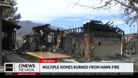
Truckee Meadows Fire Chief Richard Edwards says the number of structures destroyed or damaged remain at 47 homes destroyed, 14 damaged. This number does not include outbuildings.
Jared Schuster, Incident Commander with Great Basin Team 6 asks that if you are not a resident, to stay out of areas where evacuations have been lifted.
A lot of traffic is expected in those areas as people return home and first responders continue their work fighting the fire.
For an updated look at evacuations that are still in place or have been lifted, as well as road closures, visit Perimeter Map.
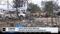
Four civilians and three firefighters have been injured in the fire. There have been no fatalities.
The investigation into who is responsible for the human-caused fire continues. If you have any information, you're asked to contact Secret Witness at 775-322-4900.
Aug. 26, 2:00 p.m. update:
The Hawk Fire briefing is happening now, with Great Basin Team 6 and other cooperating agencies providing the latest updates on the fire and response.
Watch the briefing live only on our website and social media platforms. We are not livestreaming the briefing on air.
We will provide updates in this story in real time as officials announce new information during the briefing. Check back here for the latest developments.
Aug. 26, 1:27 p.m. update:
Hawk Fire briefing set for 2 p.m. as blaze reaches 85% containment
Fire officials will provide a new update on the Hawk Fire at 2 p.m. Wednesday as crews continue working to secure the fire, which is now 85% contained.
Great Basin Team 6 will host the briefing at the Washoe County Regional Emergency Operations Center. Officials from Great Basin Team 6 and other cooperating agencies are expected to provide updates on the ongoing response.
2 News Nevada will have the briefing available to watch live on its website and social media platforms. The briefing will not be livestreamed on air Wednesday.
The Hawk Fire has burned 15,085 acres since it started Aug. 22 northwest of Reno. There are currently 586 personnel assigned to the incident, including 11 crews, 42 engines, nine helicopters and nine dozers.
Firefighters made significant progress Tuesday, increasing containment while continuing to secure fire lines around the perimeter. Crews are continuing mop-up, patrol and line-strengthening operations Wednesday.
On the western side of the fire, firefighters are working in areas with heavier fuels where heat remains, including dead and down material and other pockets of interior heat. Crews are also evaluating suppression repair needs, including light repairs along contingency lines east of the fire.
Within the fire perimeter, firefighters expect to encounter smoldering in heavy fuels, stump holes and isolated unburned pockets. Occasional torching is possible in timber, particularly on the western side, but officials expect the activity to remain well within the interior.
Weather remains an important concern Wednesday. Partly cloudy skies are expected, with temperatures between 87 and 91 degrees and minimum relative humidity between 15% and 18%. Southwest winds are expected to increase to 10 to 15 mph, with gusts up to 27 mph during the afternoon. No wetting rain is expected.
The warmer, drier and breezier conditions could increase fire behavior, particularly if fire escapes existing containment lines or a new fire starts. Crews will continue monitoring weather and fire behavior while working to secure the fire and protect nearby communities.
Fire managers are continuing to coordinate with cooperating agencies on repopulation of evacuated areas as conditions allow. Some area, road and trail closures remain in effect. Residents and travelers should check current evacuation and closure information before entering affected areas.
A temporary flight restriction remains in place. Officials are reminding the public that drones can interfere with firefighting aircraft, hindering suppression efforts and emergency response while creating risks for firefighters and the public.
The latest evacuation and closure information is available through the Perimeter Map. Residents in affected areas should continue following directions from local authorities.
Aug. 26, 9:25 a.m. update:
NV Energy has restored power to the vast majority of customers impacted by the Hawk Fire in Washoe County. Approximately 960 customers remain without service, primarily in the North Virginia Street corridor between Golden Valley and Red Rock.
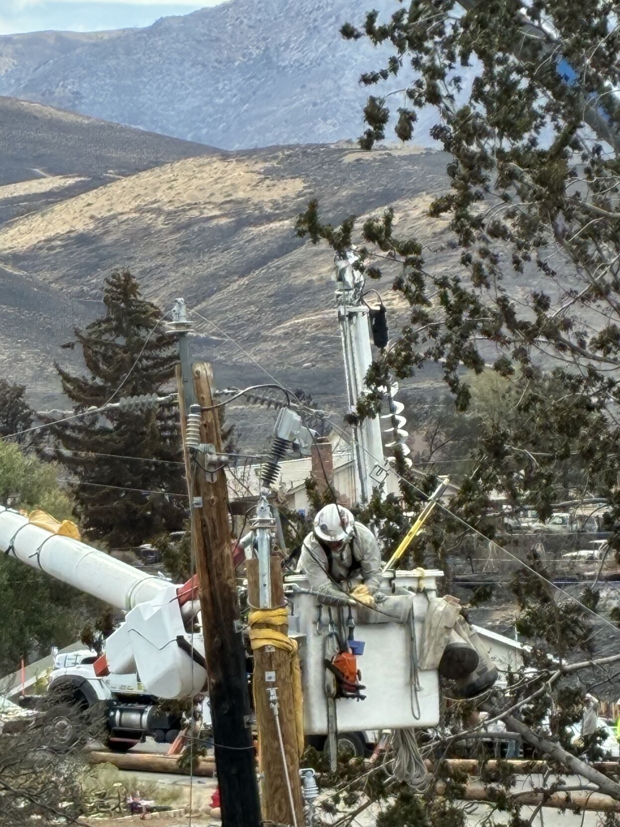
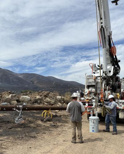
More utility poles have been delivered, and crews continue rebuilding infrastructure damaged by the fire, including replacement of the approximately 120 poles destroyed.
AUGUST 25, 2026
NV Energy has made significant progress restoring power to those who were impacted by emergency de-energizations due to the Hawk Fire.
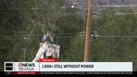
Around 1,275 people remain without power as of Tuesday evening out of around 60,000 originally affected at the start of the fire.
This represents restoration of power to nearly 98 percent of affected people, according to a release from NV Energy.
On Tuesday, crews restored power to all customers north and east of U.S. 395 along with the Bordertown area.
Crews will focus restoration efforts overnight in the Raleigh Heights area, where additional customers are expected to be restored Tuesday night.
Nearly 60 utility poles have now been repaired or replaced, including approximately 40 completed Tuesday.
Despite challenging terrain and difficult working conditions, crews continue making steady progress in rebuilding damaged facilities and restoring service to affected communities.
Some customers closest to the fire area remain without power while NV Energy continues coordinating with fire agencies and incident management teams to ensure conditions are safe for restoration.
Aug. 25, 5 p.m. update:
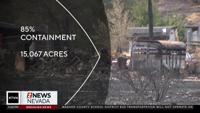
Containment on the Hawk Fire surged on Tuesday evening, reaching 85 percent.
A post on the Hawk Fire incident Facebook Page initially said the fire was 87 percent contained but was quickly updated to a lower percentage.
586 personnel are continuing to fight the fire.
For an updated look at evacuations that are still in place or have been lifted, as well as road closures, visit Perimeter Map.
Aug. 25, 2:45 p.m. update:
Fire officials say the Hawk Fire has grown to 15,067 acres, but remains 27% contained. More than 815 personnel are currently working the fire and more containment is expected to happen within the next few hours.
During a live press briefing on Tuesday, Washoe County Sheriff Darin Balaam announced that authorities are repopulating the entire EAST side of Highway 395, about 9,300 people. Residents in and around Golden Valley, Raleigh Heights, Hoge Road, Rancho San Rafael and surrounding areas may now return home. About 5,000 people remain evacuated.
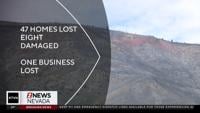
They announced that 47 homes have been destroyed, and also one business while eight homes sustained major damage. Most of the affected homes are on the west side of Highway 395 while a smaller number are on the east side. When asked, fire officials mentioned that no homes were damaged in the Somersett area.
Canine teams have been out searching areas for possible victims, but did not find any.
NV Energy says 100 wooden poles were damaged in the fire. As of Monday night, they had replaced 27 of them with another batch, about the same amount, anticipated to be replaced Tuesday night. They also restored power to more customers, but about 4,500 still do not power. About 250 gas customers are still without service - they can call the info line at 775-834-4100, but they need to be patient because gas will only be restored once the fire is done and residents have returned home.
Authorities again said that they are having issues with drones, so they ask the public to not fly them during the fire, and to wait until the fire is done. Sheriff Balaam added that if you see a drone near the fire area, call 911. "I know there are some videos out there, keep sending it in, that's what I would ask the community."
A total of seven people have suffered injuries, four civilians and three firefighters.
The human-caused fire started Saturday near Somersett. The investigation remains active, and they have received several tips, so far. One person mentioned that the fire traveled 60 miles within the first 24 hours.
During a live fire briefing on Monday, had announced that 32 homes were destroyed while another six are damaged.
Affected residents can call 311 for more information.
The Reno-Stead Airport (RTS) has reopened to general aviation traffic. Firefighting aircraft operations continue from Reno-Stead, while operations at Reno-Tahoe International Airport (RNO) remain unaffected by the fire.
Fire officials give an update on the fire, which started Saturday near Somersett.
Aug. 25, 1:40 p.m. update:
Hawk Fire officials are preparing to provide another update Tuesday afternoon as firefighters continue working to secure fire lines and contain the blaze.
According to Great Basin Team 6 a press briefing is scheduled for 2 p.m. at the Washoe County Regional Emergency Operations Center.
Great Basin Team 6 and other cooperating agencies will provide updates on the fire.
The Hawk Fire was last reported at more than 15,000 acres and 27% contained, with more than 800 personnel assigned to the response.
Fire crews are continuing to secure fire lines and conduct mop-up operations. Damage assessments are also ongoing after officials reported 32 homes destroyed and another six damaged.
We will have the latest information from the briefing as officials provide it.
Aug. 25, 12:30 p.m. update:
Evacuation restrictions have been downgraded for residents near Village Parkway in the White Lake area as firefighters continue making progress on the Hawk Fire.
According to the Washoe County Sheriff's Office in an online post, the area has been moved from a red “Evacuate Now” status to a yellow “Get Set to Evacuate” status. The road closure at North Virginia Street and Village Parkway will also be lifted.
Residents returning to the area are being asked to use caution and remain vigilant. Firefighters, deputies and other emergency personnel may continue working throughout the area, and residents should be prepared to evacuate again if conditions change.
The Washoe County Sheriff's Office said residents should check PerimeterMap.com for the latest evacuation information, road closures and changing conditions related to the Hawk Fire.
(The Washoe County Sheriff's Office contributed to the update in this story.)
Aug. 25, 9:10 a.m. update:
Fire crews will continue to secure fire lines and conduct mop-up operations as they to try contain the Hawk Fire.
Fire officials say the human-caused fire remains 27% contained at more than 15,000 acres.
More than 800 personnel are working on the fire.
Damage assessment is in the early stages and ongoing. At a Monday briefing, fire officials announced that 32 homes were destroyed with another six homes damaged.
You can watch Tuesday's operational update below -
Aug. 24, 11:15 p.m. update:
Residents impacted by the Hawk Fire heard directly from city and state officials on Monday night.
They discussed ongoing efforts to fight the fire.
People attending the meeting told 2 News Nevada they felt like they had no time to prepare before they were told to evacuate and want to know how future fires will be handled.
Fire crews shared how some residents are being allowed back after evacuation orders were lifted, but they ask for people to be patient while driving back.
Some neighborhoods are still out of power, and streetlights are still turned off.
Traffic was also a big topic discussed.
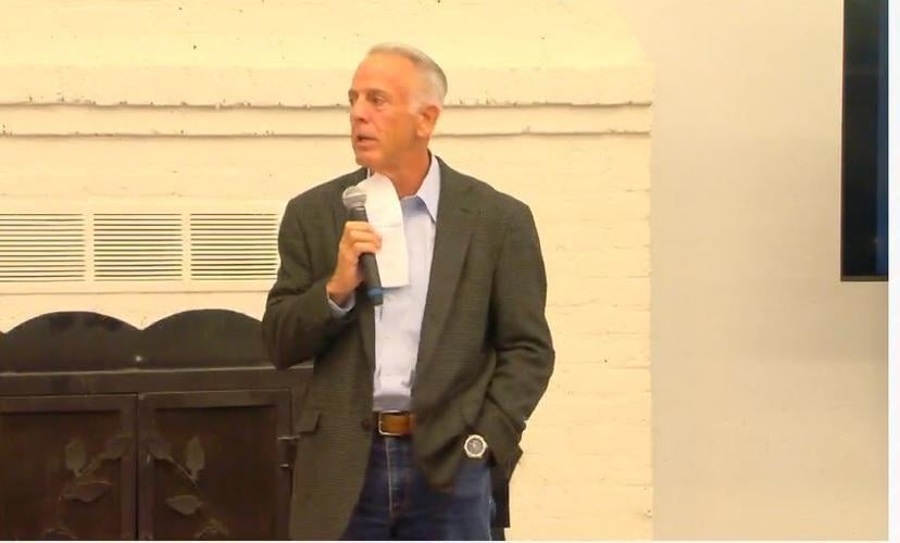
Governor Lombardo spoke at the meeting, ensuring the public that everyone is working together to put this fire out.
"There are over 30 active fires occurring in the state of Nevada as we speak," said the Governor. "But you have the majority of the resources. And the reason being that we're right next to your house, the other fires might be out in brown areas. And we can take our time responding to them."
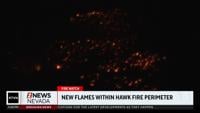
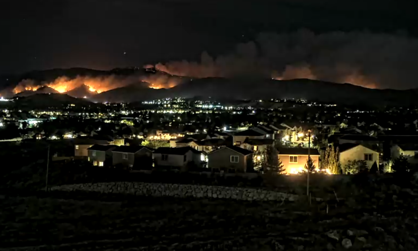
Meanwhile, a new glow appeared in the burn area on Monday night.
Firefighters say they are aware of the active flames and that they are within the fire perimeter.
The flames are not considered a threat to the community and are not causing new evacuation orders or warnings.
Aug. 24, 6:45 p.m. update:
A community meeting was held on the Hawk Fire at 7 p.m. on Monday.
It was held at the California Building in Idlewild Park and was also livestreamed. You can watch that livestream on our Facebook page at this link.
People had the chance to ask questions and learn more about resources available to them.
Aug. 24, 5:45 p.m. update:
NV Energy has restored power to around 3,000 customers who were de-energized due to the Hawk Fire.
Approximately 7,000 electric customers and 250 gas customers remain de-energized.
Before power can be safely restored, crews will need to ensure conditions are safe to do so. That effort must be coordinated with NV Energy and the Incident Management Teams leading the response efforts.
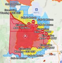
Several evacuation zones for the fire were downgraded on Monday evening along the north side of the fire, with the areas designated safe to return.
Meanwhile, on social media, Reno Police and the California Highway Patrol have confirmed that U.S. 395 is now open in both directions.
Zones in the Somersett area along the south side of the fire had previously been downgraded.
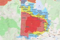
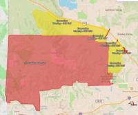
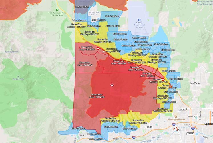
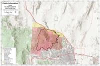
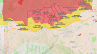
You can see an updated map including evacuations and downgrades at Perimeter Map.
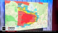
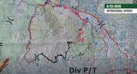
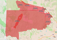
A map current as of 4:45 p.m. can be seen below.

Waste Management has addressed collection services amid the fire, saying they will continue providing services where access is safe and permitted.
If collection service is missed this week due to the fire, affected customers can place three additional bags curbside without stickers next week at no additional charge.
Aug. 24, 1:40 p.m. update:
Fire officials say that the Hawk Fire is now 27% contained, and still 15,000+ acres. During a live fire briefing on Monday, they also announced that 32 homes have been destroyed while another six are damaged, mostly in the North Valleys area. They also said they expect to see more damage as assessment teams gather information.
23,000 people remain under evacuation orders, with 40,000 under evacuation warnings.
NV Energy says that power is now restored in the Somersett area.
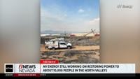
Over 100 power poles were damaged from the fire resulting in 10,000+ customers losing power.
Authorities also announced that they have are having issues with drones, so they ask the public to not fly them during the fire, and to wait until the fire is done.
Washoe County Sheriff Darin Balaam thanked the community for their support and patience while first responders deal with this fire.
Firefighters from as far as Australia and New Zealand are in the area helping.
Fire officials also announced that one more civilian was hurt, for a total of now four people, while three firefighters were hurt, announced during the previous briefing.
A community meeting on the fire will be held Monday evening at 7. It will be held at the California Building in Idlewild Park and will also be livestreamed.
Aug. 24, 12:14 p.m. update:
Hawk Fire evacuation update: Residents seek answers about leaving and returning home.
We are hearing from residents on both sides of the evacuation lines who have questions about access to their homes. Some people who were ordered to evacuate want to know when they will be allowed to return, while others who chose to remain at home say they are concerned about leaving to get supplies or take care of necessities because they may not be allowed back into their neighborhoods.
We know these questions are creating frustration and uncertainty for people affected by the Hawk Fire, and we are continuing to seek answers for our viewers.
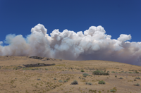
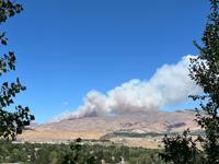
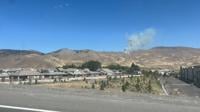
According to the Hawk Fire Incident page in an online post, officials understand the frustration and anxiety surrounding the road closures and evacuations. The incident page said that while the smoke plume may no longer look the way it did Saturday, firefighters are still doing extensive work that may not be visible to the public.
Crews are continuing to use heavy machinery, excavators and fire trucks, while various crews patrol the area looking for hotspots. NV Energy is also replacing damaged power lines, and other units are working to ensure the affected areas are safe before residents are allowed to return.
“Please be patient and know that there are so many people working incredibly hard to get you home as soon as it’s safe. Your safety is the priority, and we appreciate your understanding during this difficult time,” the Hawk Fire Incident Command said in its online post.
The incident page said officials understand how difficult it is to be away from home and are working to allow residents to return as soon as it is safe.
Fire Incident Command is scheduled to hold a briefing Monday afternoon, followed by a community meeting Monday evening. We will be listening for answers about both reentry and access for people who remain in affected areas but may need to leave for supplies or other necessities.
We will continue asking those questions on behalf of residents and will share additional information as officials provide it.
In a separate update from the Washoe County Sheriff's Office in an online post, officials announced that evacuations in the Somersett area have been downgraded from a red “Evacuate Now” status to a yellow “Get Set To Evacuate,” including all neighborhoods off Robb Drive.
Additionally, the road closures previously in place surrounding those communities have been lifted.
The Sheriff's Office said this remains a dynamic situation and conditions can change quickly. While these areas have been downgraded to yellow “Get Set To Evacuate” status, residents should remain vigilant, be prepared to evacuate if conditions change and continue to monitor official updates.
For the most current evacuation zones, road closures and incident information, residents should monitor the Perimeter Map. Information about what to know before returning home is available through Emergency Washoe.
(The Hawk Fire Incident and Washoe County Sheriff's Office contributed to this story update.)
Aug. 24, 9:30 a.m. update:
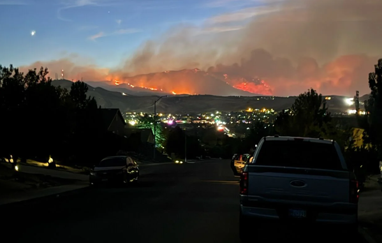
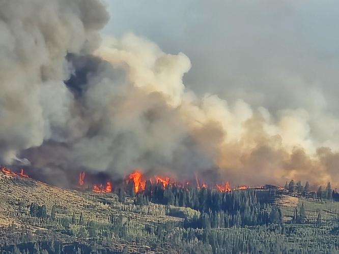
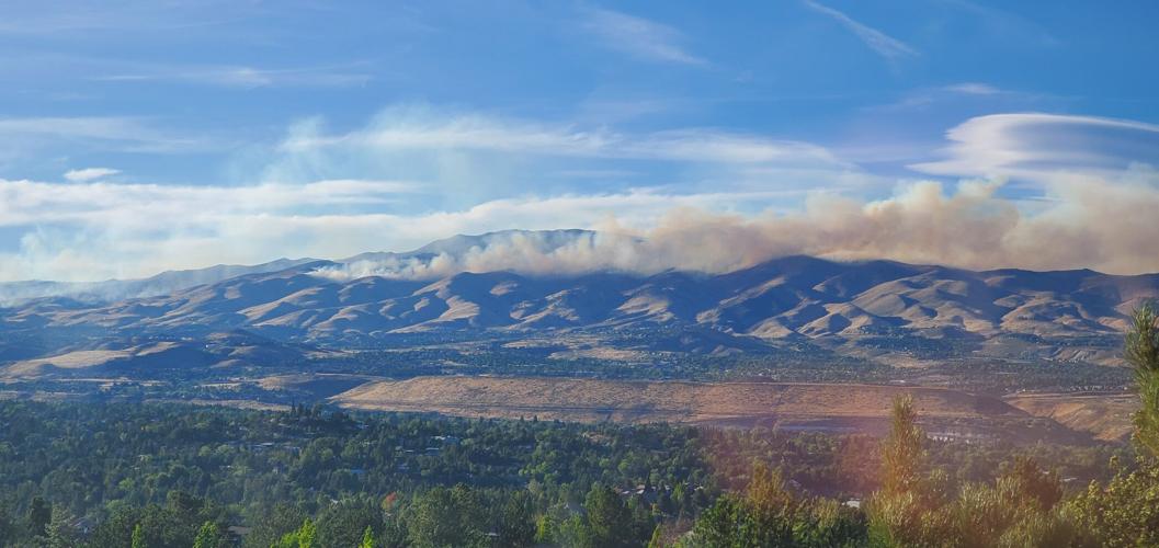
The Hawk Fire remains 0% contained at 15,051 acres Monday as firefighters work to hold established lines around the fire northwest of Reno, while evacuation orders and warnings continue across the North Valleys, Somersett and parts of northwest Reno.
Firefighters make progress as winds remain a concern
Firefighters made progress holding the fire despite the extreme fire behavior seen during the incident. Crews are working to keep the fire east of Dog Valley Road and south of U.S. Highway 395.
In some areas, fire behavior was less extreme than anticipated, allowing crews to hold established lines and reposition resources to strengthen suppression efforts. Firefighters are using handline and direct attack where conditions allow and have successfully held line through areas of heavy timber with extensive retardant support.
On the west side of the fire, crews are working to keep the flames out of Dog Valley and in flatter terrain. Near Somersett, firefighters constructed handline with support from helicopters. Crews are also working around a natural gas line within the fire area.
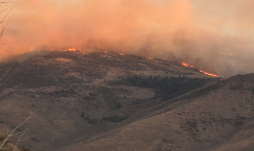
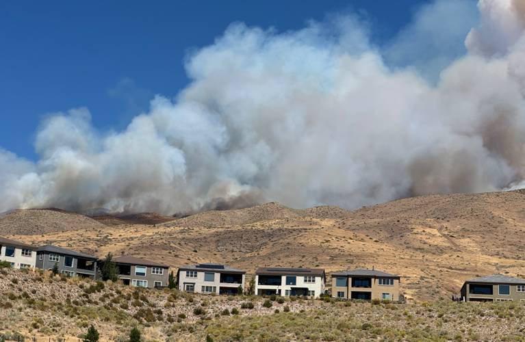
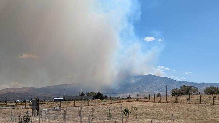
The fire is burning through tall grass, brush and timber, with mountainous terrain, continuous fuels and critically dry conditions continuing to challenge firefighters.
There are currently 720 personnel assigned to the fire, including 14 crews, 95 engines, 10 helicopters and nine dozers.
The fire is expected to continue making moderate to high intensity runs in pockets of dense fuels over the next 12 hours. Over the next 24 hours, backing fire with periods of running fire behavior is possible where fuels, wind and topography align.
The fire has the potential to spread northeast and northwest, and conditions remain dynamic and subject to rapid change.
Elevated temperatures and seasonal afternoon southwest winds are expected to continue influencing fire behavior.
Afternoon winds could increase fire activity
Calm winds Monday morning are expected to help keep wildfire smoke from traveling far beyond the fire perimeter while conditions remain calm.
That is expected to change this afternoon as Zephyr winds increase, with gusts reaching 30 to 35 mph. Those winds will bring periods of elevated fire weather conditions.
There is no red flag warning in effect Monday, and slightly higher relative humidity is expected to provide some help by limiting the exchange of moisture between fuels and the atmosphere. That is expected to keep conditions below red flag criteria.
High temperatures will reach the low 90s Monday and remain in the low to mid-90s through the week. Washoe Zephyr winds are expected to continue, which means firefighters could continue to face stronger afternoon winds.
A low moving through the Pacific Northwest later in the week is expected to bring drier air and enhanced winds, with elevated fire weather conditions possible later in the week.
There are limited chances for stray showers and thunderstorms Monday, mainly in Mono and Mineral counties, the Great Basin to the east and northern Washoe County. No rain is expected elsewhere for the rest of the week.
Evacuations remain across the North Valleys, Somersett, and northwest Reno
GO NOW evacuation orders remain in effect across several North Valleys communities, including Cold Springs, Red Rock, Silver Knolls, Stead, Lemmon Valley, Golden Valley, along North Virginia, Raleigh Heights and parts of Panther Valley.
The evacuation area also extends to parts of North Virginia Street on the west side of Rancho San Rafael Park.
Evacuations previously expanded south into the Somersett community, including areas north of Somersett Parkway to Robb Drive, as well as other neighborhoods in northwest Reno. Rancho San Rafael Park remains closed.
GET READY warnings remain in and around several of those areas.
There is currently no timeline for when evacuation areas will reopen. Washoe County Sheriff's Office deputies and fire managers are coordinating on when residents can safely return, while damage assessment teams continue evaluating impacted areas.
Authorities say that reentry decisions are based on conditions within the fire area and the ability to safely allow residents back into affected neighborhoods. Updates will be shared as soon as those decisions are made.
Residents should check the Perimeter Map regularly to see whether their neighborhood is under a Go Now order or Get Ready warning because conditions can change quickly.
Current evacuation information is available on the Perimeter Map.
Road, area, and trail closures also remain in effect, including U.S. Highway 395 and a forest area closure. Roads will reopen as conditions allow. Travelers and residents should check current road and evacuation information before entering the affected area.
Fire has not reached Sierra County
The Hawk Fire has also prompted warnings in Sierra County, California, where the fire continues to push toward the Long Valley area.
As of 12:30 p.m. Sunday, the fire had not reached Sierra County. Sierra County Sheriff's Office deputies are monitoring conditions.
Damage assessments continue
Damage assessment teams are working in several areas affected by the fire.
Fire officials have confirmed that some structures have been damaged or destroyed, but they have not released a specific number while the assessment is underway. Homeowners will be notified directly if their property has been impacted.
At least six people have been injured, including three civilians and three first responders.
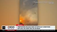
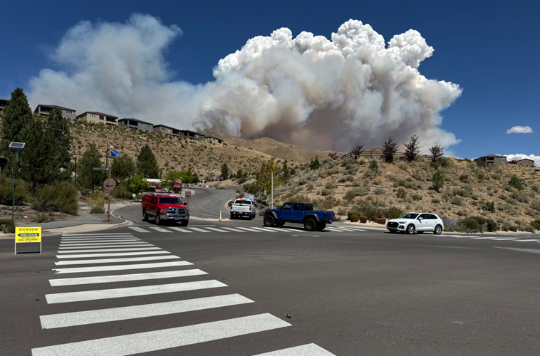
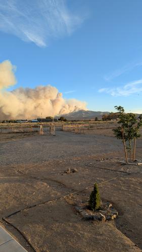
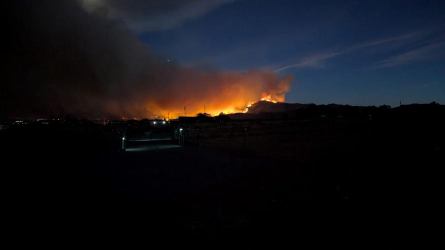
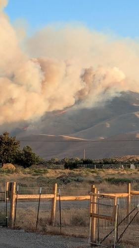
The fire moved exceptionally quickly Saturday night, jumping over fire trucks and making it difficult for responders to reach hotspots while residents were trying to evacuate, Washoe County Sheriff Darin Balaam said.
“It was extremely confusing,” the sheriff said, describing how changing winds sent the flames in different directions.
Fire officials say the fire was started by people, but they have not released a more specific cause.
Nearly 10,000 customers remain without power
Power outages related to emergency de-energization measures continue across Washoe County, with 18 outages affecting 9,854 customers.
The largest number of affected customers is in ZIP code 89506, where 8,375 customers are affected across five outages. Another 1,264 customers in ZIP code 89508 are affected across three outages.
The remaining outages are reported in:
89431: 98 customers
89434: 13 customers
89436: 10 customers
89439: 1 customer
89502: 16 customers
89509: 66 customers
89510: 11 customers
NV Energy said the customers affected by emergency de-energization are in areas where evacuation orders or warnings are already in place because of wildfire activity.
Gas service has also been shut off for about 250 customers as a safety measure.
Areas closest to the fire will remain de-energized until NV Energy teams and fire agencies determine it is safe to restore service. Customers are not charged for electricity during periods when service is interrupted because of emergency de-energization.
National Guard supports firefighting and evacuations
Gov. Joe Lombardo has declared a state of emergency in Washoe County and mobilized the Nevada National Guard.
The Guard is sending a CH-47 Chinook and UH-60 Black Hawk aircrew to support aerial firefighting. An additional 60 Nevada National Guard Response Force personnel have been called in to assist local law enforcement in safeguarding evacuated neighborhoods.
The Reno-Stead Airport is closed to commercial flights but remains open for firefighting and military aircraft. Reno-Tahoe International Airport remains unaffected.
Fire officials will hold briefing Monday afternoon
Fire Incident Command will hold a press briefing at 2 p.m. Monday, August 24.
The briefing will include updates from Fire Incident Command and other agencies involved in the Hawk Fire response.
We will livestream the briefing on air, our website and social media platforms so viewers can follow the latest information from incident officials.
Community meeting set for Monday night
Fire managers will also hold a Hawk Fire community meeting from 7 to 8 p.m. Monday at the California Building, located at 75 Cowan Street in Reno.
The meeting will include an update on the fire and current suppression efforts. Afterward, attendees will break into smaller group discussions to ask questions, share concerns and speak directly with incident personnel.
The community meeting will also be livestreamed on the Hawk Fire Facebook page, and shared on our KTVN 2 News Nevada Facebook page, where public information officers will monitor comments and answer questions.
Officials warn about drones and smoke
A temporary flight restriction is in place over the fire area.
Officials are reminding the public that flying drones near the wildfire can force firefighting aircraft to stop operating, hindering suppression efforts and creating risks for firefighters and the public.
If you fly, they can’t!
People who are sensitive to smoke should stay indoors when possible until air quality improves.
Current smoke and air quality conditions can be monitored at www.airnow.gov.
Officials continue to urge residents to rely on current fire, evacuation and closure information as conditions can change rapidly.
Aug. 24, 5:19 a.m. update:
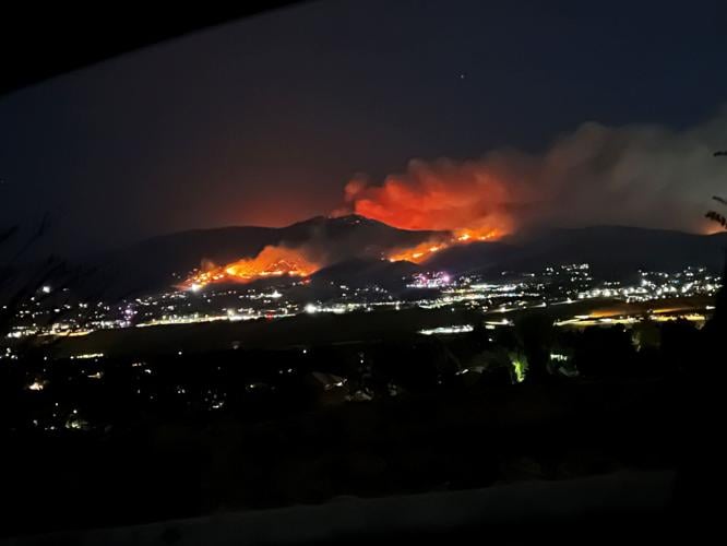
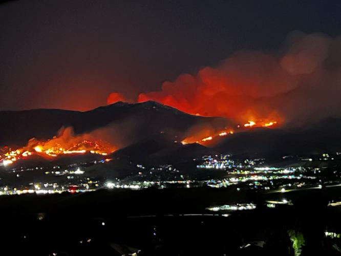
The Hawk Fire has burned through 15,040 acres and remains 0% contained after starting on Saturday near Somersett.
Damage assessment teams are assessing structures in the affected areas and homeowners will be notified directly if their property has been impacted.
Fire officials held a briefing on Sunday morning where they announced that about 42,000 people remain evacuated and/displaced by the fire. Another 90,000 people live within the zone. Authorities have implored all of them to leave and be prepared to stay away for several days, because shifting and strengthening winds were expected to make the fire even more unpredictable.
Fire officials stress don't call 911 for information. Keep 911 and emergency dispatch lines available for those experiencing an emergency.
Over 1,000 first responders and 800 personnel are helping with the fire.
They announced a Hawk Fire Facebook page where they will give updates You can also call 1-775-244-6988.

During the briefing, they announced that some 'structures' were damaged or destroyed but they did not give any specific numbers, not until an assessment is done.
The fire moved exceptionally fast Saturday night, jumping over fire trucks and making it difficult for responders to get to hotspots while residents were trying to get out, Washoe County Sheriff Darin Balaam said.
“It was extremely confusing,” the sheriff said, describing how changing winds sent the flames in different directions.
The fire started the day before, and has burned 10,520+ acres and remains 0% contained.
Fire officials say at least six people, three civilians and three first responders, have suffered injuries.
NV Energy says approximately 10,000 customers remain without power due to emergency de-energization measures related to the fire. Customers currently affected are located in areas where orders or warnings are already in place due to wildfire activity. Gas service was shut-off for about 250 customers, also for safety. Areas closest to the fire will remain de-energized until NV Energy teams and fire agencies advise it is safe to restore power.
NV Energy says customers are not charged for electricity during periods when service is interrupted due to emergency de-energization.
Gov. Joe Lombardo has declared a state of emergency in Washoe County, and mobilized the Nevada National Guard to support aerial firefighting with two helicopter crews as well as 60 troops to help police safeguard evacuated neighborhoods.
The #HawkFire is still a rapidly evolving situation. Stay vigilant and keep yourself informed if you are in the affected areas.
— Governor Joe Lombardo (@JosephMLombardo) August 23, 2026
Get highway updates and road closures from @nevadadotreno at https://t.co/64jm3bgewU
Monitor https://t.co/kOySTPJ8VM for evacuation information. https://t.co/29xxTrSdN3
We’re closely monitoring the #HawkFire across the Tahoe region and Nevada, with state and local partners deployed and coordinating on the ground and in the air.
— Governor Gavin Newsom (@CAgovernor) August 23, 2026
Residents in impacted areas should continue following guidance from local emergency officials.

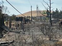
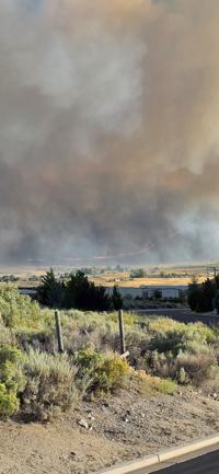
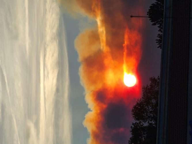
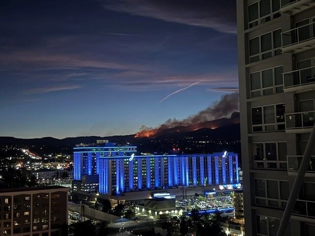
The fire was started by people, according to fire officials who have not yet released a more specific cause.
Firefighters worked through the night to protect communities, structures and critical infrastructure.
The Nevada National Guard says they're sending one CH-47 Chinook and one UH-60 Black Hawk aircrews in support of aerial firefighting efforts on the Hawk Fire.
Additionally, 60 Nevada National Guard Response Force personnel have been called to assist local law enforcement in safeguarding evacuated neighborhoods.
The Reno-Stead Airport is currently closed to commercial flights but remains open for firefighting and military aircraft. Reno-Tahoe International remains unaffected.
— Reno-Tahoe Airport Authority (@RenoAirport) August 23, 2026
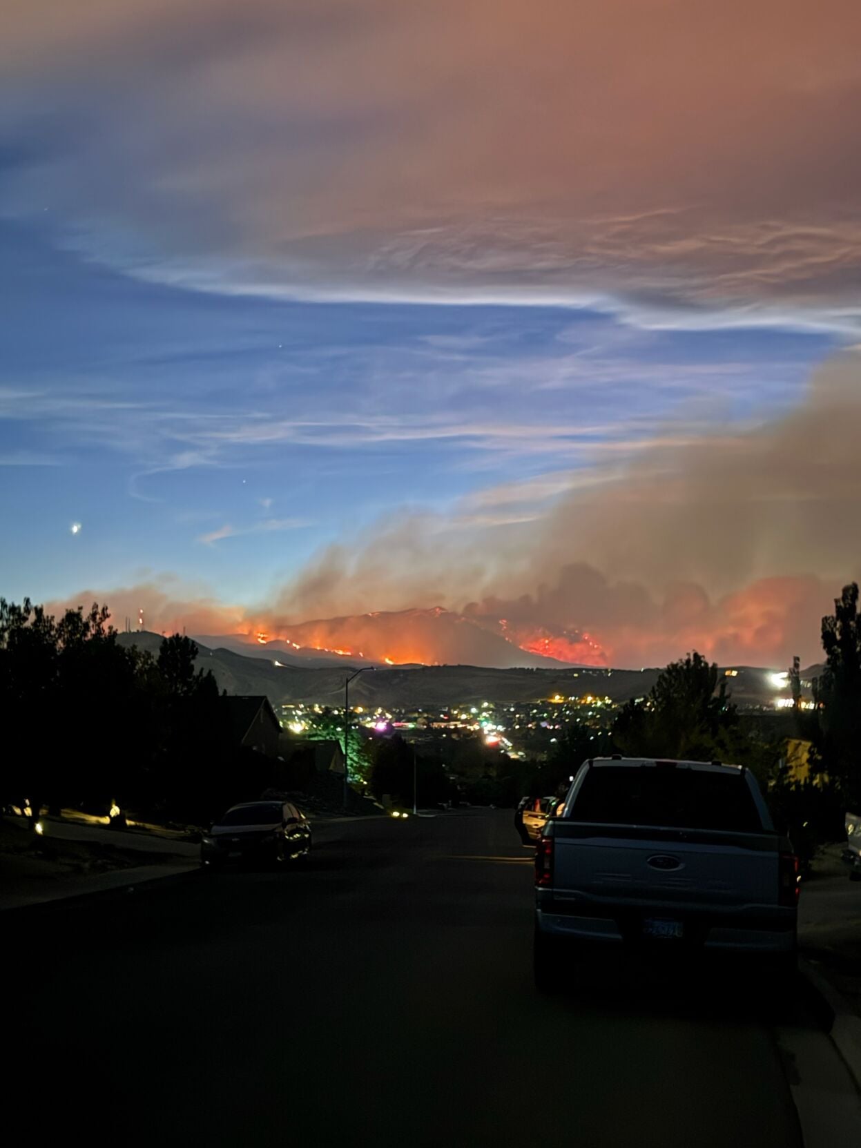
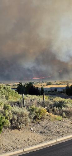
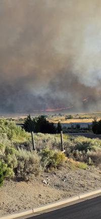
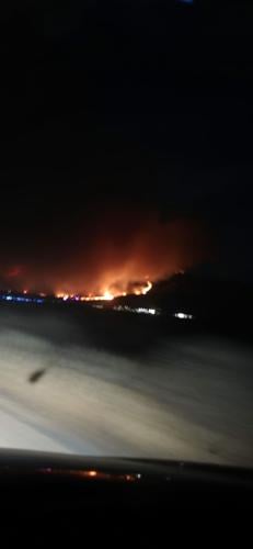
Evacuations have expanded to the south, impacting the Somersett community, including areas north of Somersett Parkway to Robb Drive, as well as neighborhoods in northwest Reno. Rancho San Rafael Park is closed.
The most current Washoe County map is available at the Perimeter Map website.

An center has been set up at the Reno-Sparks Convention Center, 4590 South Virginia Street, Reno.
Small animals can go to Washoe County Regional Animal Services on Longley Lane. Large animals can be taken to the Ironwood Event Center, at 5600 Whiskey Springs Road.
The Hawk Fire has also led to warnings in Sierra County, California. See the latest California warnings on the Genesys Map.
The sheriff's office says the fire continues to push toward the Long Valley area of Sierra County. As of 12:30 PM, the fire has not reached Sierra County. Sierra County Sheriff’s Office deputies are on scene and closely monitoring fire conditions.
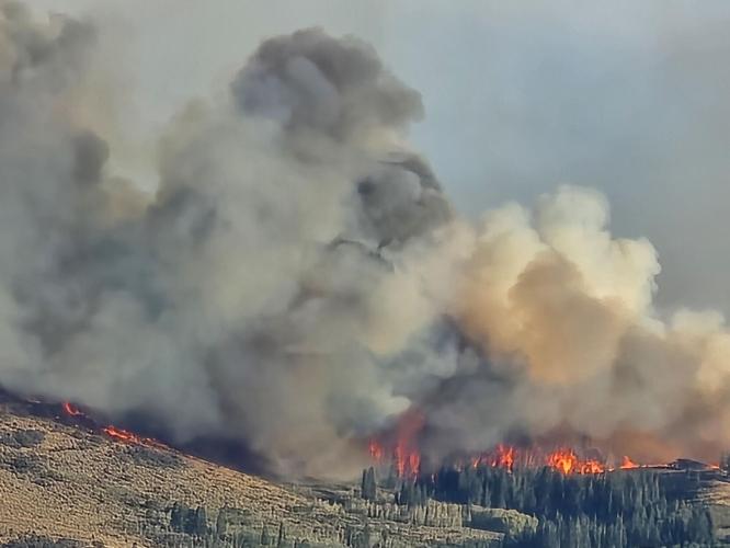
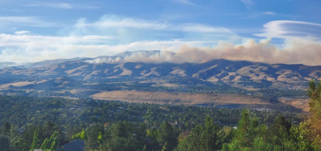
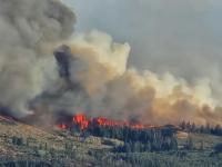
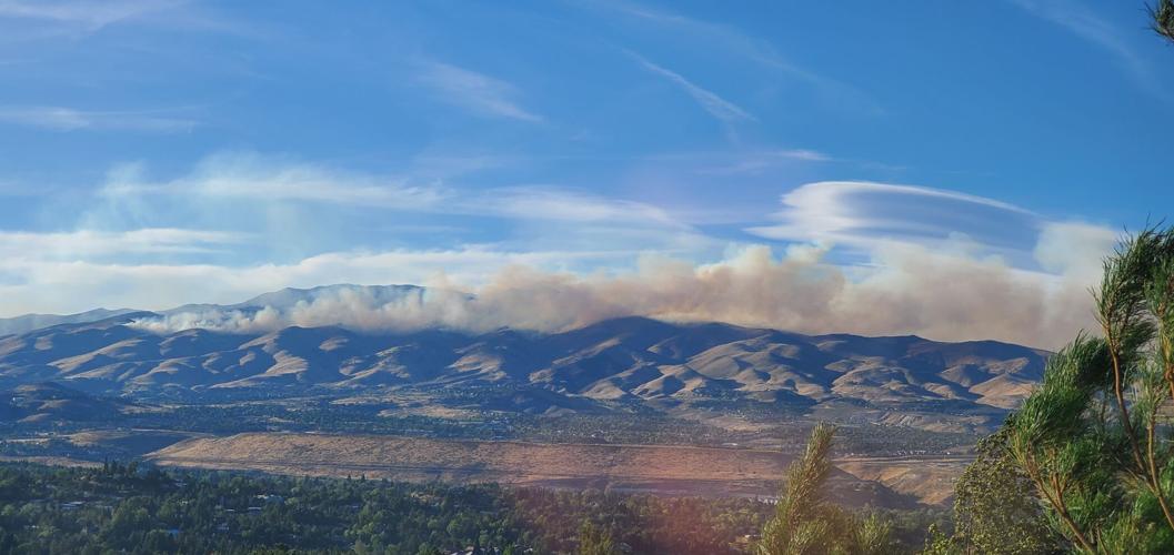
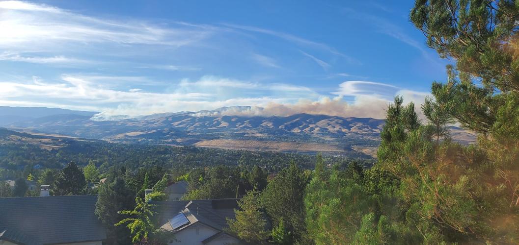

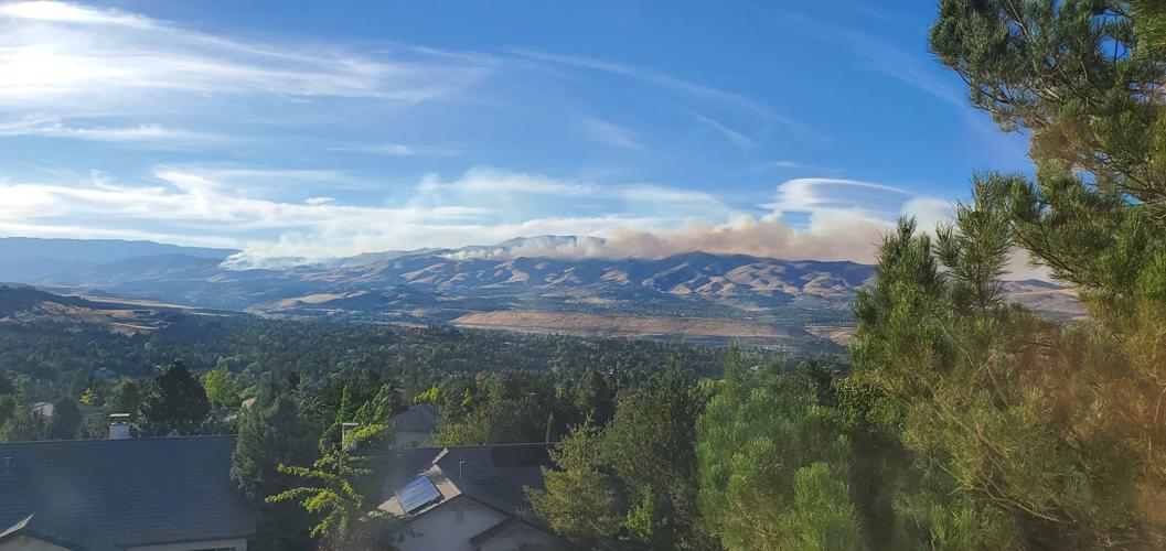

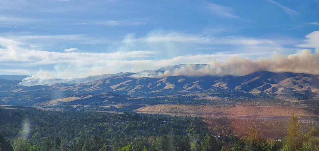
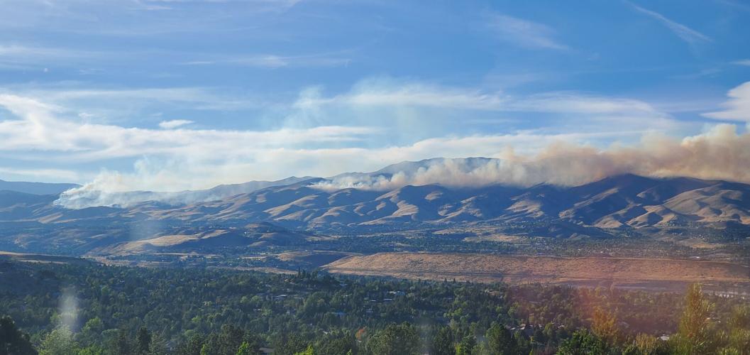
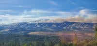
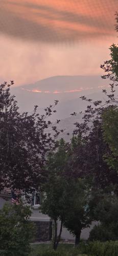
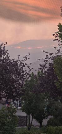
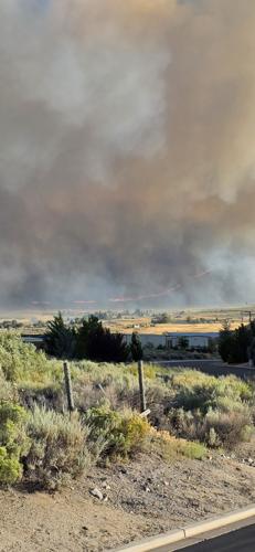
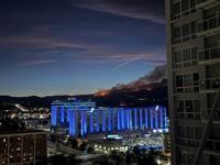
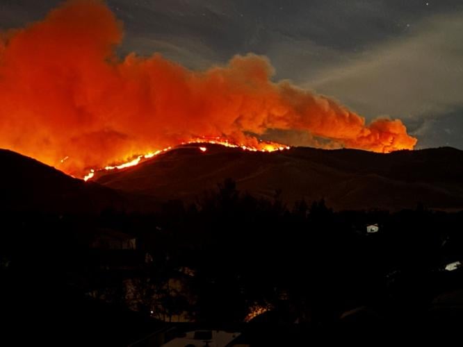
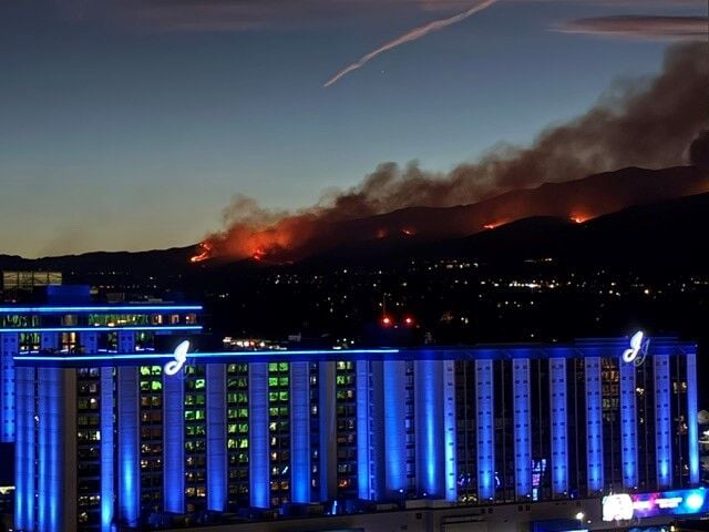
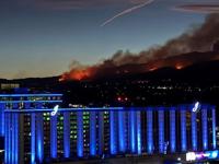
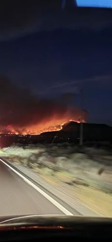
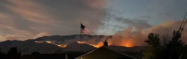
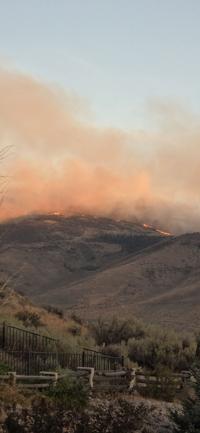
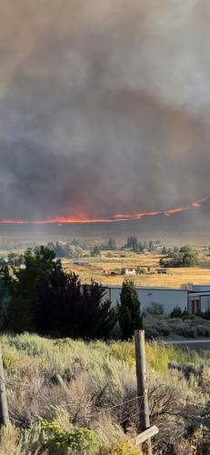
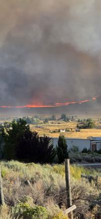
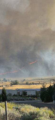
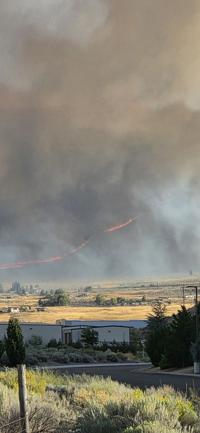
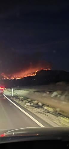

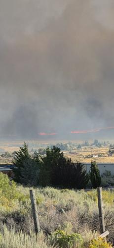
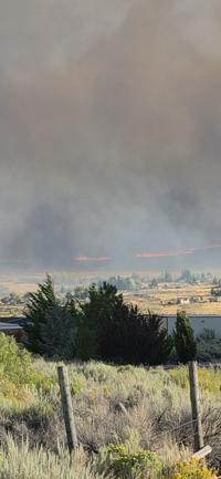
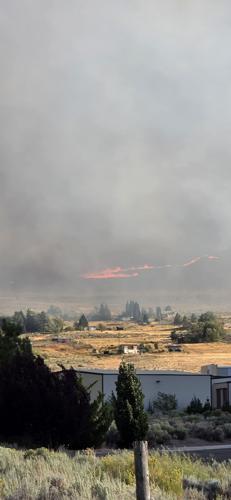
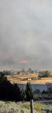
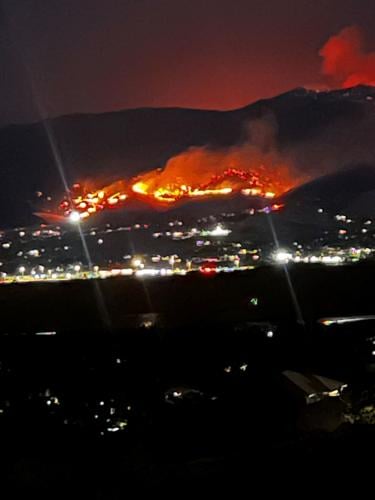
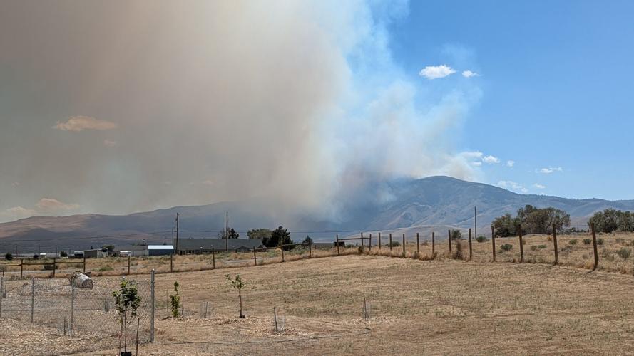
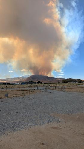
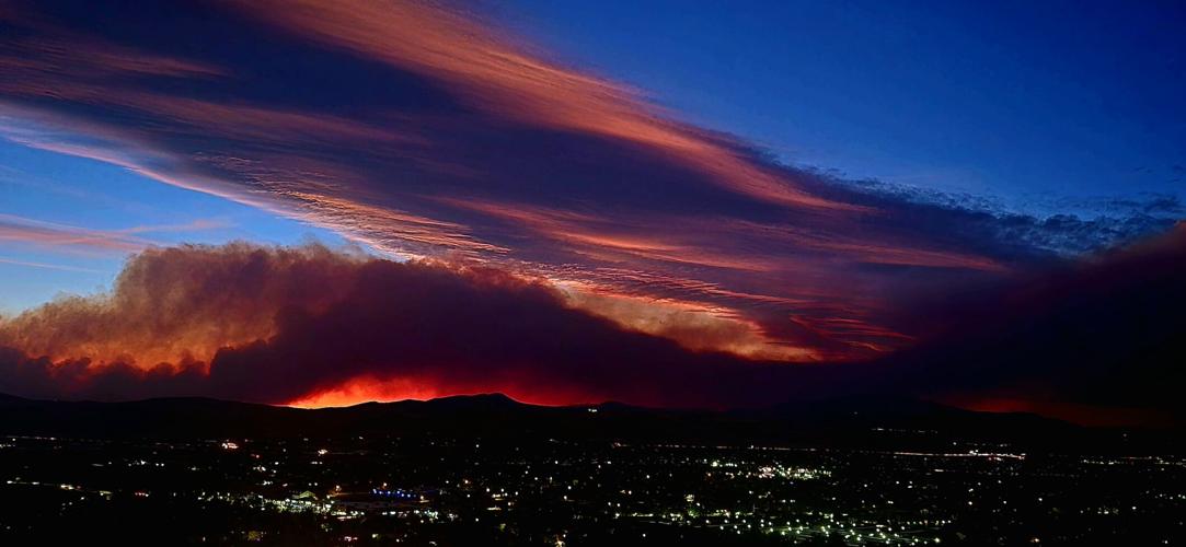
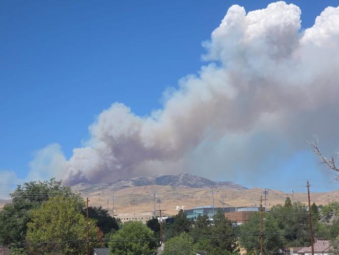


______________________________________
Aug. 22, 9:30 p.m. update
Governor Joe Lombardo has declared a state of emergency in Washoe County as the Hawk fire continues to spread.
Under the declaration, all state agencies are directed to work through the Nevada Emergency Operations Center to supplement local efforts.
The Hawk Fire is now being mapped at 10,522 acres and remains 0% contained.
The most current map is available at the Perimeter Map website.
The site at the Evelyn Mount Northeast Community Center is now at capacity and a new site has been set up at Hall 4 of the Reno-Sparks Convention Center, 4590 South Virginia Street, Reno.
______________________________________
Aug. 22, 9:00 p.m. update
The Hawk Fire is now being mapped at 10,522 acres and remains 0% contained.
According to NDOT, U.S. 395 northbound is closed between Parr Blvd and Bordertown. U.S. 395 southbound freeway ramps are open between Stead Blvd and Reno for s.
New Warnings have been issued in the Lemmon Valley and Silver Knolls area.
The most current map is available at the Perimeter Map website.

CENTER
The site at the Evelyn Mount Northeast Community Center is now full.
The new site is located at Hall 4 of the Reno-Sparks Convention Center, 4590 South Virginia Street, Reno.
DISCOUNTED ROOM RATES:
If you are being evacuated, the Silver Legacy, Eldorado and Circus Circus Reno are offering a $59 room rate with no resort fee.
Call 1-800-223-7277 or book online with code SCLOC26.
J Resort is also offering a $59 discounted rate with no resort free. Use the code HAWK26 when booking online.
The Nugget is Sparks is also offering a $49 room rate for evacuees.
Grand Sierra Resort (GSR) is offering evacuees and fire crews a special room rate of $59 per night, with resort fees waived. Evacuees and fire crews can take advantage of the offer by visiting GrandSierraResort.com/Evacuee or calling the resort at 775-789-2000 and mentioning the code “EVACUEE.” The special rate is available for a limited time and may be extended as circumstances warrant, based on room availability. Note: GSR is not accepting reservations with pets.
LARGE ANIMALS
According to Washoe County, the Reno-Sparks Livestock Event Center is NOT an center for animals. An event this weekend means there is currently no room.
We will update this story when a location has been identified.
Mayor Hilary Schieve has released a statement as the firefight continues:
"My heart goes out to anyone in our community who has been impacted by the dangerous and fast-moving Hawk Fire. Our firefighters and first responders are heroically fighting the fire and the high winds to save lives, homes, businesses, livestock and pets.
If you have been told to evacuate, please don’t wait! Structures have already been burned in this fire and your life is more important than a building. Evacuating before the fire arrives also allows our firefighters to focus their efforts on battling the blaze.
I encourage our community to please keep our firefighters and first responders in your prayers and to open your hearts, homes and businesses to the people who have had to evacuate.
The City of Reno staff and regional partners will keep you updated on the information you need to know through local news media, social media, perimetermap.com and emergencywashoe.com.”
_______________________________________________________________
Aug. 22, 7:45 p.m. update:
The Hawk Fire has grown to 8,020 acres according to the latest estimate from fire officials.
orders and warnings continue to expand.
The most current map is available at the Perimeter Map website.
________________________________________________________
Aug. 22, 7:00 p.m. update:
The orders and warnings are now expanding rapidly.
New s are in effect for all communities on the north side of US 395 that border the highway.
The most current map is available at the Perimeter Map website.

Fire officials have not updated the number of acres burned. The Hawk Fire has burned an estimated 2,500 acres.
U.S. 395 remains closed between Parr Blvd and Red Rock Rd.
_______________________________________________________________
Aug. 22, 6:30 p.m. update:
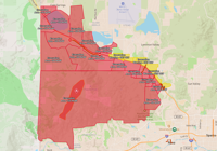
Some warnings have been changed to Evacuate Now orders. The most current map is available at the Perimeter Map website.
GO NOW ORDERS are in effect north and northwest of Somersett and north of Verdi as well as on the west side of US 395 for areas of Golden Valley, Lemmon Valley, Stead and Cold Springs.

________________________________________________________
Aug. 22, 5:30 p.m. update:
The Hawk Fire remains at 2,500 acres and is moving in a northeast direction according to Truckee Meadows Fire and Rescue.
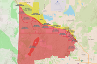
Some warnings have been changed to Evacuate Now orders. The most current map is available at the Perimeter Map website.
GO NOW ORDERS are in effect north and northwest of Somersett and north of Verdi as well as on the west side of US 395 for Golden Valley, Lemmon Valley, and Stead.
GET SET WARNINGS are in effect in portions of Stead, Golden Valley, and Cold Springs.

CENTER
Those needing to evacuate can go to the Evelyn Mount Northeast Community Center, 1301 Valley Road in Reno.
DISCOUNTED ROOM RATES:
If you are being evacuated, the Silver Legacy, Eldorado and Circus Circus Reno are offering a $59 room rate with no resort fee.
Call 1-800-223-7277 or book online with code SCLOC26.
J Resort is also offering a $59 discounted rate with no resort free. Use the code HAWK26 when booking online.
ROAD CLOSURES:
U.S. 395 is closed in both directions from Parr Boulevard to Red Rock Rd.
N. Virginia Street is closed between Red Rock Rd. and White Lake Pkwy
________________________________________________________
Aug. 22, 3:40 p.m. update:
The Hawk Fire is west Reno has burned an estimated 2,500 acres and is 0% contained since starting around 11 a.m. Saturday.
According to Truckee Meadows Fire and Rescue, the fire is moving northeast with approximately 1,000 homes threatened.
Local, state, and federal fire crews are on the scene with airtankers and at least 2 helicopters. More resources are being requested from Cal Fire.
s are in place and can be seen on the Perimeter Map website.

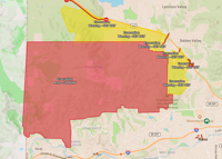
GO NOW ORDERS remain in effect north and northwest of Somersett and north of Verdi.
Residents near the immediate area should remain alert and prepared, as conditions can change rapidly.
GET SET WARNINGS remain in effect on the west side of US 395 for Golden Valley, Lemmon Valley, and Stead.
Those needing to evacuate can go to the Evelyn Mount Northeast Community Center, 1301 Valley Road in Reno. Washoe County Human Services Agency, Allied Security, and American Red Cross of Nevada staff are there ready to assist.
The Hawk fire has also led to warnings in Sierra County, California. See the latest California warnings on the Genesys Map.
DISCOUNTED ROOM RATES:
If you are being evacuated, the Silver Legacy, Eldorado and Circus Circus Reno are offering a $59 room rate with no resort fee.
Call 1-800-223-7277 or book online with code SCLOC26.
J Resort is also offering a $59 discounted rate with no resort free. Use the code HAWK26 when booking online.
ROAD CLOSURES:
North Virginia Street is currently closed between Red Rock Rd. and White Lake Parkway.
_______________________________________________________________
Aug. 22, 2:30 p.m. update:
Reno Fire and Truckee Meadows Fire and Rescue crews are fighting a fire burning north of Cold Creek Trail, north of Somersett in west Reno
An additional 10 engines, 2 dozers and 2 hand crews have been requested from CAL FIRE by Incident Command.
So far, the fire has burned an estimated 2,500 acres.
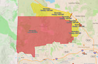
evacuations are in place and can be seen on the Perimeter Map website.
GO NOW ORDERS are in effect north and northwest of Somersett and north of Verdi.
While the majority of the area is unpopulated, residents near the immediate area should remain alert and prepared, as conditions can change rapidly.
GET SET WARNINGS are now in effect on the west side of US 395 for Golden Valley, Lemmon Valley, and Stead.

Hawk Meadow Trail is closed north of Somersett Parkway.
California warnings
The Hawk fire has also led to warnings in Sierra County. See the latest California warnings on the Genesys Map.