
The City of Reno is providing sandbags at the following locations:
- City of Reno Corporation Yard (1640 East Commercial Way)
- Mira Loma Park (3000 South McCarran Blvd.)
- Moya Blvd. near the intersection of Red Baron Blvd.)
- Reno Fire Station #5 (1500 Mayberry Dr.)
- Horseman's Park (2800 Pioneer Dr.)
- Idlewild Park (2055 Idlewild Dr.)
The City of Sparks is also offering sandbags:
- Cottonwood Park, 777 Spice Island Drive.
- Silver State International, 2255 Larkin Way
- 399 Coney Island Driver
- Shadow Mountain Park, 3300 Sparks Blvd.
The City of Sparks is monitoring weather conditions at this time. However, rain may continue to remain a concern for areas that are subject to ponding and slow drainage. Residents are asked to ensure drains are clear and to report any needs for service to the city through the My Sparks mobile app or by calling 775-353-2231.
Washoe County provided the following locations for sandbags:
- Lemmon Valley, Lemmon Drive and Pompe Way
- Lemmon Valley, TMFR Station 440, 130 Nectar Street
- Silver Knolls Volunteer Fire Station, 11525 Red Rock Road
- Golden Valley Park (Hillview entrance), 7490 Hillview Drive
- Washoe County Operations Yard, 3101 Longley Lane
- Highland Rand Parkway 1 mi. west of Pyramid Hwy
- Belli Ranch, Blue Heron Circle and Warrior Lane
- Toll Road and Geiger Grade
- Pleasant Valley, Andrew Lane and Paddlewheel Lane
- Pleasant Valley, Pagni Lane and 395
- East Washoe Valley, TMFR Station 32, 1240 Eastlake Blvd.
- East Washoe Valley, Eastlake Blvd. and Gander Lane
- West Washoe Valley, TMFR Station 30, 3905 Old Hwy 395

Lemmon Valley
Over the last two months Washoe County has implemented protection measures in and around Swan Lake in response to increasing water levels. Current lake water levels are at 4919.4 feet – or more than 4 feet below the highest water levels recorded in 2019.
The protective measures that have been installed recently are located in areas away from roadways and residences to minimize impact to the community. This approach removes the necessary barrier protections from the edge of major roadways, eliminates pipe crossings along Lemmon Drive, and keeps the intersection of Lemmon Drive and Idaho Street open.
More specifically some of these protections are as follows.
- Washoe County has prepared for rising Swan Lake water levels by constructing protective berms in certain areas around the lake and installing high flow pumps to manage water that flows down from the surrounding areas.
- Berms have been constructed in the Pompe Way and Jean Way areas in the north area of Swan Lake.
- Berms and protections have been installed in the southern areas of the lake, near Palace Drive, along with the installation of pumps to manage flows coming from Lemmon Drive.
- Crews have also made improvements to the areas along the eastern side Swan Lake to protect roadways and residences.
- Crews have also inspected the berms and protections in place near Compton Blvd. And will install pumps at the appropriate time if water levels rise in that area.
- The protective berms and access road around the Lemmon Valley Wastewater Treatment plant are still in place and fully functioning if water levels dramatically rise.
- Residents should be aware that there will continue to be on-going field activities and that there will be people and equipment in the area as work continues in anticipation of further increasing Swan Lake water levels.
Steamboat Ditch and Whites Creek
Many ditches in the southern end of the county near Toll Road, Geiger Grade, Whites Creek and Thomas Creek are buried under several feet of snow. Most flooding potential is from irrigation ditches, so crews have been visiting the ditches and monitoring them prior to this storm to ensure that they are as clear of debris as possible.
Some known problem areas around Toll Road and Geiger Grade are already sandbagged.
Truckee Meadows Fire and Rescue is activating a crew to assist with sandbagging.
Ditches have been cleared, but garbage blowing into drainages areas can clog drains and create unnecessary flooding. Residents are asked to be diligent to remove garbage and debris from their properties and to remove garbage from empty roadside ditches if they see it. However, CSD warns everyone that walking into standing water or a flooded ditch is dangerous. Please call Washoe County to report clogged drains, and let CSD handle the flooded areas.
As a standard practice, residents should stock a three-day supply of food, water, batteries, and personal necessities.
“Washoe County has done everything it can to minimize the impact of flooding on residents, but we know that heavy rain on top of heavy snow will cause water levels to rise and low elevations to flood,” Washoe County Emergency Manager Kelly Echeverria said. “We must each take responsibility to prepare and protect our homes and our families.”
Washoe County will respond to emergencies and flooded areas in unincorporated Washoe County. To report a problem, please call Washoe311 at 3-1-1 or 775-328-2003. Service requests can also be made online here.
To report a problem within the City of Reno, call Reno Direct at 775-344-INFO (4636).
To report a problem within the City of Sparks, please call 775-353-2231 or download the city’s new My Sparks app.
Electricity
Heavy snow can damage trees, which in turn can damage power lines. If you suspect damage to a power line, do not go anywhere near it. Report downed power lines to 9-1-1 and NV Energy’s emergency line: 775-834-4100.
NV Energy has information on how to prepare for possible power outages here. Residents can also report street light issues here.
Traffic Signals
To report traffic signal issues, call 775-335-7623.

Lyon County:
A precautionary evacuation warning has been issued for the Buckeye/Dangberg Reservoir area due to a possible reservoir overflow which could affect homes and property in the area. The affected area includes less than 50 homes; however, the overflow could impact other property infrastructure in the area.
Lyon County is urging Mason and Yerington residents to prepare for potential flooding in the area.
On Saturday, March 11, 2023 at 5:50pm National Weather Service (NWS) issued a moderate flood warning on the Walker River near Mason at Snyder Lane.
A Flood Warning is in effect late tonight through early Wednesday morning for the Walker River near Mason at Snyder Lane. Moderate flooding of lowlands in the Mason Valley/Yerington area is likely to occur.
— NWS Reno (@NWSReno) March 12, 2023
Learn more here: https://t.co/qtthTDJ59e pic.twitter.com/5EaGDS0e4x
Lyon County is monitoring the situation and has activated an emergency operations center to more effectively respond to needs across the county.
Lyon County sand and sandbag locations:
- Mound House Fire Station -56 Red Rock Rd., Mound House
- Silver City Community Center - 385 High St. Silver City
- Fire Station #39 -460 Dayton Valley Rd., Dayton
- Dayton Valley Road, just southwest of Sutro Rd.
- Fire Station #35 - 231 Corral Dr., Dayton
- Stagecoach Community Center - 8105 US-50, Stagecoach
- Silver Springs JPO Office - 1075 Pyramid Ave., Silver Springs
- Mason Town Hall building -55 Bridge Street, Mason
- Dressler Park Community Arena - 2715 Hwy 208, Wellington
- Out of Town Park, Farm District Road and Highway 95A, Fernley
Lyon County has moved the self-fill sandbag location in Smith Valley from Smith Valley Schools to NV-208, Smith, NV 89430 (near the Post Office).
When sandbagging your property, ensure that any outbuildings, pump houses, or corrals are protected in the same way as your home.
Lyon County is urging Smith Valley residents to stay home and limit travel in and out of the valley due to major road closures. Plan for prolonged travel delays and the potential to be unable to return for extended periods of time and overnight. For current state route and highway conditions, visit www.nvroads.com or call 511.
Call Center Phone Number and Hours
Lyon County is activating a call center beginning Friday, March 10, 2023 to respond to needs across the county. For flooding and weather-related concerns and assistance, citizens are encouraged to call (775) 461-3757 during the hours of 8:00am – 6:00pm. In an emergency, call 911.
*Lyon County closed the non-emergency call center at 3:30pm Sunday to give staff and volunteers time necessary to rest ahead of next week’s storms. The call center will reopen on Tuesday, March 14, 2023 from 8:00am – 6:00pm. The call center phone number is (775) 461-3757. In an emergency, please call 911.
Lyon County’s Emergency Notification System
Carson City is urging residents to prepare. High winds and heavy precipitation are expected. Carson City offers the following tips and resources:
FALLING TREES AND BRANCHES
With the forecast of high winds and saturated soils, residents should be aware of the potential for falling trees and branches.
SANDBAG FILL STATION
Carson City’s Sand Bagging Station is stocked and ready at the Corporate Yard – 3505 Butti Way, just north of the main Public Works building.
Bags and sand are supplied – you must bring your own shovel and fill your bags.
ROOF SNOW LOAD
The following warning signs could indicate that you have a danger of roof collapse. You should immediately evacuate the building and notify your local building official, Fire Department, or contact a structural engineer to determine if the building is safe if you observe the following:
- Severe or new roof leaks.
- Cracked or split wood members.
- Bends or ripples in metal supports.
- Recent cracks in walls, gypboard, or masonry.
- Cracks in welds of steel construction.
- Sprinkler heads pushed down below ceiling tiles.
- Doors that pop open.
- Doors or windows that are difficult to open.
- Bowed utility pipes or conduits attached to the ceiling; or creaking, cracking, or popping sounds.
STOREY COUNTY:
Due to the need for emergency teams to assess the current and future repairs after the atmospheric river brought a lot of rain to the area, the county has partially activated its Emergency Command Center.
According to Storey County Public Works, 6 Mile Canyon Road will be closed for an extended period of time. The water that forced the closure has compromised the south shoulder.
Storey County is providing sandbags and dirt for residents and businesses to fill bags ahead of projected flood concerns.
If you live in a flood-prone area, the following are sandbag fill locations provided by the County:
- Virginia City: Located to the left as you drive towards the Ice House property immediately east of Public Works Department, located at 130 Toll Road in Virginia City
- Virginia City Highlands: Fire Station 72, located at 2610 Cartwright Rd. in the Highlands
- Lockwood: Fire Station 74, located at 431 Canyon Way in Lockwood
- Mark Twain: Mark Twain Community Center, located at 500 Sam Clemens Ave. in Dayton
In preparation for the upcoming atmospheric storm, the National Weather Service Reno indicates high elevation heavy snowfall, followed by heavy rain, potential flooding and strong winds in the coming days. Areas prone to flooding concerns are:
- Six Mile Canyon Creek and Long Valley Creek
- Lockwood and Painted Rock near rivers and rockfalls in canyons
- Low-level areas of Mark Twain in Dayton
Douglas County also providing sandbags:
- Jacks Valley Station 15 -- 3450 Jacks Valley Rd, Carson City
- Sheridan Fire Station -- 980 Sheridan Ln., Gardnerville
- Johnson Lane Fire Station -- 1450 Stephanie Ln., Minden
- Fish Springs Fire Station -- 2249 Fish Springs Rd., Gardnerville
- Ruhenstroth Fire Station -- 2008 Pinto Cir., Gardnerville
- Support Services Center (East Fork Fire) -- 940 Mitch Dr. (Across from Station 7), Gardnerville
- Holbrook Highlands at the Family Support Council Building -- 3324 Highland Way, Gardnerville
*Note: The Genoa location is inaccessible due to snow. Genoa residents should use the Jacks Valley location.
Douglas County has created a flood watch webpage. Click on this line to see it.


The areas of Ione, Yomba Reservation and Railroad valley are currently experiencing flooding. Information is that there are no passable roads in or out of the areas. Northern Nye County Search and Rescue is on stand-by. Emergency Management is working on getting tractors for rescue/evacuation if necessary. Shelter in Place and call NCSO or EMS for emergencies.
New Sandbag Location Update pic.twitter.com/FQ80iyLP9X
— Tahoe Douglas Fire (@tahoefire) March 10, 2023
The City of South Lake Tahoe is also providing sandbags for potential flooding at Fire Station 3, 2101 Lake Tahoe Blvd.
Prepare now for potential flooding by getting your sandbags in advance. Fire Station 3 at 2101 Lake Tahoe Blvd. has sandbags available. Sand is getting low, but more is expected tomorrow. Bring a shovel, since they are limited. #beprepared pic.twitter.com/Eh4q85cLZO
— City of South Lake Tahoe (@cityofslt) March 8, 2023
The City of South Lake Tahoe also urges residents to take the threat of roof collapses and flooding seriously and prepare now.
If you have over three feet of snow, as a general guideline, please consult a professional to remove snow from your roof before this event.
If you choose to clear it yourself, know your abilities and use extreme caution.
Signs of a compromised roof include:
- Sagging ceiling tiles popping
- New cracks in ceiling sheetrock
- Cracking or creaking noises
- Bowing trusses
- Cracks in walls or masonry
- Doors and windows that no longer, or have trouble, opening and closing
- Severe roof leaks
Here's a map of potential flooding areas within South Lake:


Potential flooding areas within South Lake Tahoe.
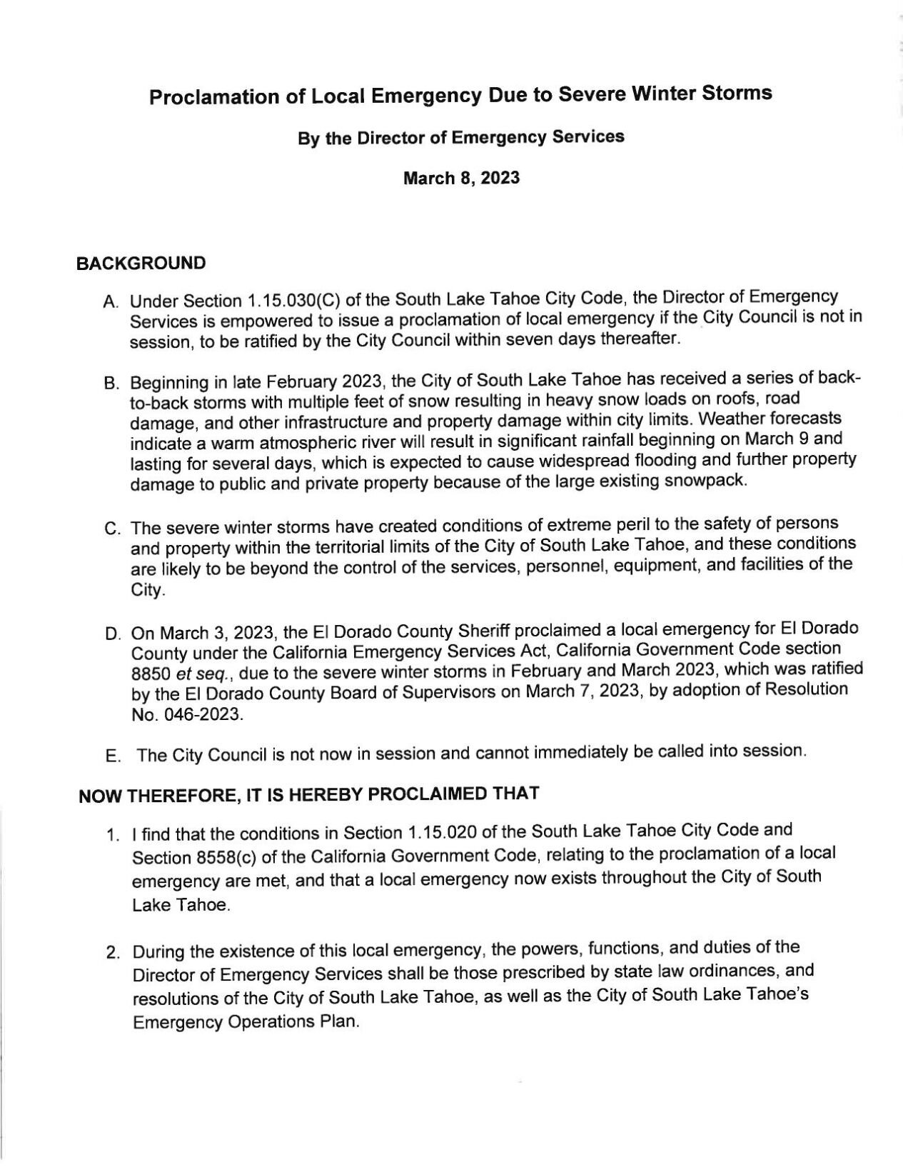
The City Manager, acting as the Director of Emergency Services, has issued a local emergency proclamation for the City of South Lake Tahoe to leverage all available tools from local, state, and federal resources in response to potential impacts from the forecasted atmospheric river. The emergency proclamation allows the Director of Emergency Services to waive procurement rules and issue emergency orders to address a fluid and changing situation.
Emergency proclamations are formal documents recognized by the Federal Emergency Management Agency (FEMA), the California Governor’s Office of Emergency Services (CalOES), and other governmental agencies, which will then be able to direct disaster relief funds and other key personnel resources to our jurisdiction, should the need arise.
This emergency proclamation is a proactive step and does not indicate any community-wide closures. To stay up to date on the latest information winter and extreme weather preparations, visit www.cityofslt.us/snowremoval and follow @cityofslt on Facebook, Twitter, and Instagram
An Atmospheric River is increasingly likely Thu PM-Sat. The deepest snowpack will absorb much of the rain, but the shallower snowpack below ~ 5500 ft. will pose the greatest flood concerns.
— NWS Reno (@NWSReno) March 6, 2023
Read the latest AFD for more details: https://t.co/e2fr72a3jU#CAwx #NVwx pic.twitter.com/dMULrgqPY9
Heavenly Ski Resort has announced that they will be closed on Friday due to the anticipated storm:
Heavenly will be closed tomorrow, 3/10 due to the incoming atmospheric river storm system. Read more below and stay safe! pic.twitter.com/SCKpuZcTh3
— SkiHeavenly (@skiheavenly) March 9, 2023
Plumas County:
The Plumas County Sheriff’s Office and Office of Emergency Services is taking preparedness action for the recently issued Winter Storm Watch and Flood Watch issued by the National Weather Service across Plumas County. If needed, Plumas County is prepared to activate the Emergency Operations Center (EOC) tosupport any crisis which may occur.
Due to the elevated amount of snowfall, Plumas County has received and the incoming storm system which is forecasted to bring rain, there is a possibility for localized flooding, flooding along some roadways, and heavy flows along local waterways. Due to the amount of snow, the rain will follow the path of least resistance and could create flooding in areas where you may not have seen or experienced flooding in the past.
Accumulated snow and possible rain could significantly increase the snow load weight and can strain the structure, increasing the chances of damage or collapse. You should consult a professional to remove snow from your roof before this event. If you chose to clear it yourself (which we do not recommend), know your capabilities and exercise extreme caution.
Residents are asked to avoid flooded roads, remain clear of fast-moving creeks and rivers, and follow all emergency signage. When driving in the rain, always turn on your headlights.
Winter storms bring cold temperatures, power failures, loss of communication services, and icy roads. To keep yourself and your loved ones safe, you should prepare your home and your car beforehand. Ensure you have food, supplies, gas, etc.
To sign up for Plumas County emergency alerts, visit the Plumas County Emergency Alert System page.
Community Assistance:
Due to the increased snow, there are many community members who cannot and do not have the means to remove the snow to leave their residence and remove snow from roof tops. If you are able to provide any assistance to our community members in need, call and notify the Plumas County Sheriff’s Office Dispatch at 530-283-6300. They are looking for individuals to assist in all Plumas County communities.
Sand and Sandbags:
Plumas County is providing sand and sandbags; however, their accessibility may be limited and we are working to uncover all sand piles and provide additional sand. This sand and bags are for public self-service, you must bring a shovel. For more flood information, you can visit the OES Flood Preparedness page.
WHERE:
- Quincy area: Feather River College baseball parking lot
- Chester/Lake Almanor area: Chester Fire Station
- Peninsula Fire Station
- Eastern Plumas County: Portola City Public Works building (Main Street) Sandbags are
- limited, we are working to deliver more.
- Indian Valley: Indian Valley Fire Station (located south of Greenville on Hwy 89)